

Piney Dam
No reviews yet
Have you flown here? Share your experience with other pilots.
+ Write the first reviewDescription
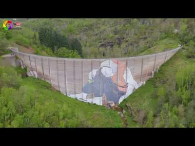
Piney dam with an artwork by Ella & Pitr, located above the town of Saint-Chamond in the Pilat massif
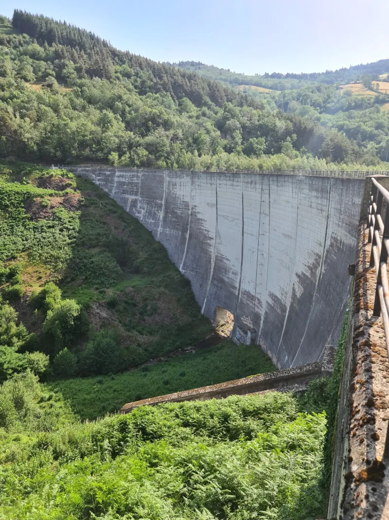
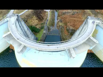
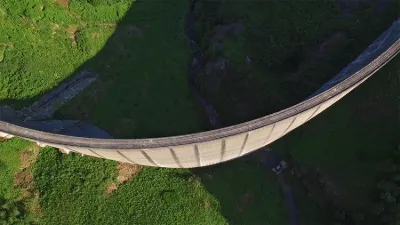
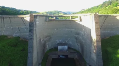
An atypical dam with no reservoir... The river passes through a gaping hole and, of course, no longer acts as a dam.
It can be seen above St Chamond in the Loire département. It sits next to two other dams that are still operational.
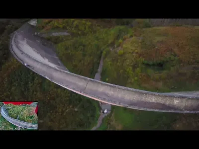
The Piney dam, 199 meters long and 45 meters high, is a hydraulic dam of the Département de la Loire located in the commune of La Valla-en-Gier.
The Piney dam was built in 1955 across the Gier River and holds a volume of 1,900 thousand m³ of water over an area of 14 hectares.
The Piney dam, an arch dam, was mainly used for water supply.
This dam is now decommissioned. It is completely dry thanks to a sluice built at its base.
A huge artwork by Ella & Pitr is drawn on one of its faces.
If anyone knows why it was decommissioned, I'd love to hear it!
Cinematic drone shot DJI MINI 2 in strong wind
Music provided by La Musique Libre Trip40 - Ways : • |Musique libre de droits| Trip40 - Ways Trip40 : / trip40
Map and restricted areas
Open in the main mapNearby aerodromes
Open aerodromes within 25 km of the spot, heliports included, with their distance and direction from the spot. Near an aerodrome, drone flying is prohibited or height-limited: check the UAS zones map.
| Aerodrome | Type | Distance | Elevation | Difference |
|---|---|---|---|---|
| Centre Hospitalier Heliport | Heliport | 5.7 km N | 381 m | spot 178 m higher |
| Altisurface de la Jasserie | Aerodrome | 5.8 km SE | 1,380 m | spot 821 m lower |
| St Chamond L'horme Airport | Aerodrome | 7.6 km N | 395 m | spot 164 m higher |
| Hôpital Bellevue Heliport | Heliport | 11 km W | 595 m | spot 36 m lower |
| Malacussy Heliport | Heliport | 12 km W | 655 m | spot 96 m lower |
Aviation weather (METAR and TAF)
LFMH – Saint-Étienne-Bouthéon Airport VFR
METAR
METAR LFMH 211000Z AUTO 20003KT 150V250 CAVOK 13/07 Q1020
- Wind
- 200°, 6 km/h
- Visibility
- 10 km or more
- Clouds
- –
- Temperature
- 13 °C, dew point 7 °C
- QNH
- 1020 hPa
- Flight category
- VFR: ceiling > 3,000 ft and visibility > 5 mi
TAF
Weather and Kp index
Sunrise and sunset
| Day | Dawn | Sunrise | Golden hour | Sunset | Dusk | Day length |
|---|---|---|---|---|---|---|
| Sat 21 Nov | 07:16 | 07:49 | 07:49–08:35 · 16:20–17:07 | 17:07 | 17:39 | 9 h 17 |
| Sun 22 Nov | 07:18 | 07:50 | 07:50–08:37 · 16:19–17:06 | 17:06 | 17:38 | 9 h 15 |
| Mon 23 Nov | 07:19 | 07:51 | 07:51–08:38 · 16:19–17:05 | 17:05 | 17:38 | 9 h 13 |
| Tue 24 Nov | 07:20 | 07:53 | 07:53–08:39 · 16:18–17:04 | 17:04 | 17:37 | 9 h 11 |
| Wed 25 Nov | 07:21 | 07:54 | 07:54–08:41 · 16:17–17:04 | 17:04 | 17:37 | 9 h 09 |
| Thu 26 Nov | 07:22 | 07:55 | 07:55–08:42 · 16:16–17:03 | 17:03 | 17:36 | 9 h 07 |
| Fri 27 Nov | 07:23 | 07:56 | 07:56–08:44 · 16:15–17:03 | 17:03 | 17:36 | 9 h 06 |
Reviews
Log in to review this spot. Log in · Create a free account
No reviews yet. Share yours!