

Cize-Bolozon Viaduct
No reviews yet
Have you flown here? Share your experience with other pilots.
+ Write the first reviewDescription
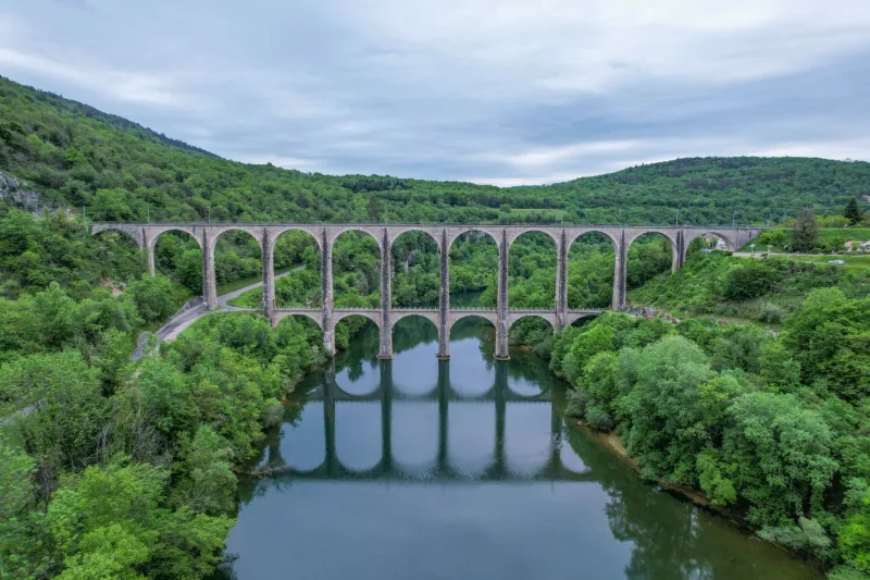
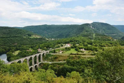
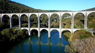
This viaduct, 269 m long and 52 m high, spans the Ain river and has two levels: the lower deck for road traffic and the upper deck for rail traffic. The Paris-Geneva TGV has crossed this viaduct since December 12, 2010. A first viaduct of stones bound with lime was built in 1875 to allow easy crossing of the Ain river. In 1876, the so-called Carpathian line, crossing steep terrain, was opened. Following a Resistance action, it was destroyed in 1944. The second viaduct was built in 1950 in an almost identical way, with the stone replaced by concrete and used only as facing.
Map and restricted areas
Open in the main mapNearby aerodromes
Open aerodromes within 25 km of the spot, heliports included, with their distance and direction from the spot. Near an aerodrome, drone flying is prohibited or height-limited: check the UAS zones map.
| Aerodrome | Type | Distance | Elevation | Difference |
|---|---|---|---|---|
| Bourg-Ceyzériat Airport | Aerodrome | 12 km W | 261 m | spot 6 m higher |
| Aérodrome d'Oyonnax-Arbent | Aerodrome | 18 km NE | 535 m | spot 268 m lower |
| La Tranclière Private Airstrip | Aerodrome | 18 km SW | 250 m | spot 17 m higher |
| Corlier Altiport | Aerodrome | 20 km S | 842 m | spot 574 m lower |
Aviation weather (METAR and TAF)
No METAR station within 50 km.
Weather and Kp index
Sunrise and sunset
| Day | Dawn | Sunrise | Golden hour | Sunset | Dusk | Day length |
|---|---|---|---|---|---|---|
| Sat 21 Nov | 07:15 | 07:48 | 07:48–08:35 · 16:13–17:01 | 17:01 | 17:34 | 9 h 13 |
| Sun 22 Nov | 07:16 | 07:49 | 07:49–08:36 · 16:12–17:00 | 17:00 | 17:33 | 9 h 10 |
| Mon 23 Nov | 07:17 | 07:50 | 07:50–08:38 · 16:11–16:59 | 16:59 | 17:32 | 9 h 08 |
| Tue 24 Nov | 07:18 | 07:52 | 07:52–08:39 · 16:10–16:58 | 16:58 | 17:31 | 9 h 06 |
| Wed 25 Nov | 07:19 | 07:53 | 07:53–08:41 · 16:10–16:58 | 16:58 | 17:31 | 9 h 04 |
| Thu 26 Nov | 07:21 | 07:54 | 07:54–08:42 · 16:09–16:57 | 16:57 | 17:30 | 9 h 02 |
| Fri 27 Nov | 07:22 | 07:55 | 07:55–08:44 · 16:08–16:56 | 16:56 | 17:30 | 9 h 00 |




Reviews
Log in to review this spot. Log in · Create a free account
No reviews yet. Share yours!