

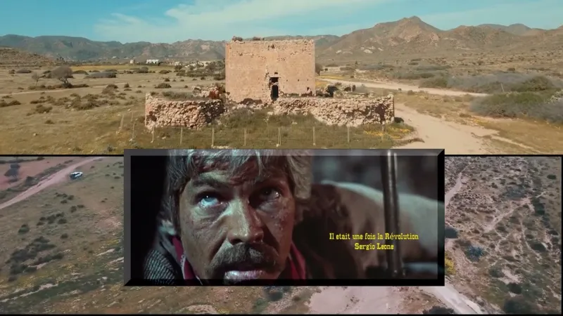
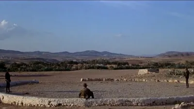
La Torre de los Alumbres Nijar Almería, (tribute to S Leone)
No reviews yet
Have you flown here? Share your experience with other pilots.
+ Write the first reviewDescription
The Torre de los Alumbres is a coastal watchtower located on the coast of the province of Almería, in the autonomous community of Andalusia, Spain. This tower is part of the system of coastal watchtowers built in the region in the 16th and 17th centuries to protect the coast from possible pirate attacks and to monitor maritime traffic.
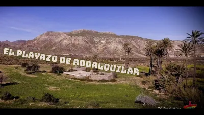
The Torre de los Alumbres is located in the municipality of Níjar, between the towns of Rodalquilar and Playazo, which is a beach known for housing the San Ramón battery, a historic fortification. This area of the Almería coast is known for its natural beauty and its historical and archaeological interest.
__________________________________________________________________________________________________________________________________________________The Torre de los Alumbres is a coastal watchtower located on the coast of the province of Almería, in the autonomous community of Andalusia, Spain. This tower is part of the system of coastal watchtowers built in the region during the 16th and 17th centuries to protect the coast from possible pirate attacks and to monitor maritime traffic.
The Torre de los Alumbres is located in the municipality of Níjar, between the towns of Rodalquilar and El Playazo, which is a beach known for housing the San Ramón battery, a historic fortification. This area of the Almería coast is known for its natural beauty and its historical and archaeological interest.
Map and restricted areas
Open in the main mapAviation weather (METAR and TAF)
LEAM – Almería Airport VFR
METAR
METAR LEAM 211100Z 20003KT CAVOK 18/13 Q1021
- Wind
- 200°, 6 km/h
- Visibility
- 10 km or more
- Clouds
- –
- Temperature
- 18 °C, dew point 13 °C
- QNH
- 1021 hPa
- Flight category
- VFR: ceiling > 3,000 ft and visibility > 5 mi
TAF
TAF LEAM 210500Z 2106/2206 VRB03KT CAVOK TX21/2114Z TN15/2106Z BECMG 2120/2122 24012KT
| Period (local time) | Change | Wind | Visibility | Weather | Clouds |
|---|---|---|---|---|---|
| 21/11 07:00 → 21/11 21:00 | Initial conditions | Variable, 6 km/h | 10 km or more | No significant cloud | |
| 21/11 21:00 → 22/11 07:00 | Becoming | 240°, 22 km/h | 10 km or more | No significant cloud |
Weather and Kp index
Sunrise and sunset
| Day | Dawn | Sunrise | Golden hour | Sunset | Dusk | Day length |
|---|---|---|---|---|---|---|
| Sat 21 Nov | 07:25 | 07:52 | 07:52–08:31 · 17:17–17:55 | 17:55 | 18:23 | 10 h 02 |
| Sun 22 Nov | 07:26 | 07:53 | 07:53–08:32 · 17:16–17:55 | 17:55 | 18:23 | 10 h 01 |
| Mon 23 Nov | 07:26 | 07:54 | 07:54–08:33 · 17:16–17:54 | 17:54 | 18:22 | 9 h 59 |
| Tue 24 Nov | 07:27 | 07:55 | 07:55–08:34 · 17:15–17:54 | 17:54 | 18:22 | 9 h 58 |
| Wed 25 Nov | 07:28 | 07:56 | 07:56–08:35 · 17:15–17:54 | 17:54 | 18:22 | 9 h 57 |
| Thu 26 Nov | 07:29 | 07:57 | 07:57–08:37 · 17:14–17:53 | 17:53 | 18:21 | 9 h 55 |
| Fri 27 Nov | 07:30 | 07:58 | 07:58–08:38 · 17:14–17:53 | 17:53 | 18:21 | 9 h 54 |


Reviews
Log in to review this spot. Log in · Create a free account
No reviews yet. Share yours!