

Puit n°8 - ostricourt
No reviews yet
Have you flown here? Share your experience with other pilots.
+ Write the first reviewDescription
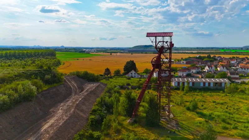
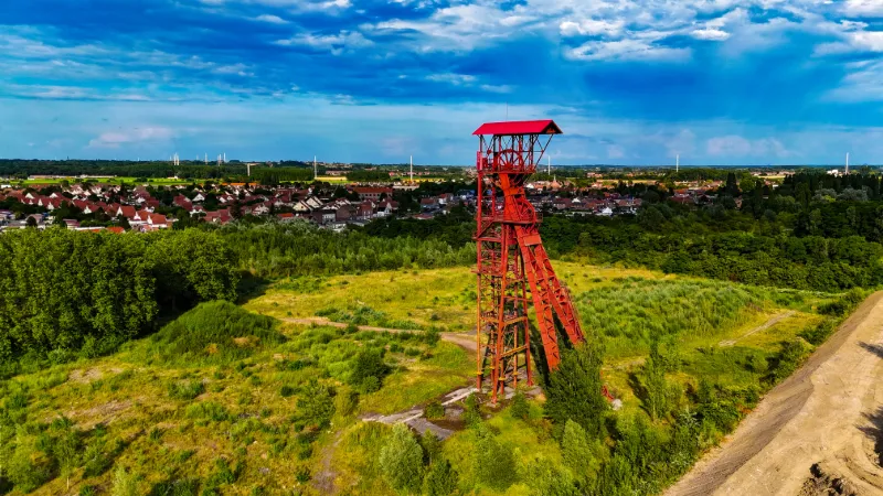
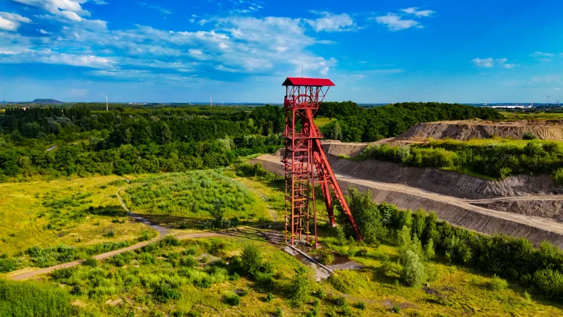
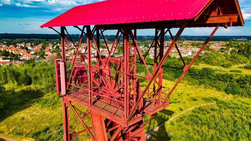
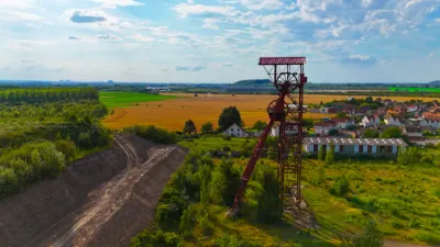
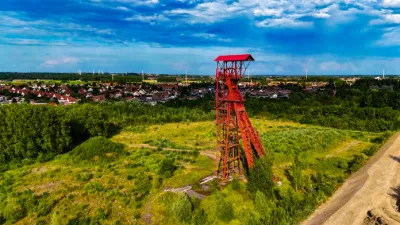
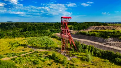
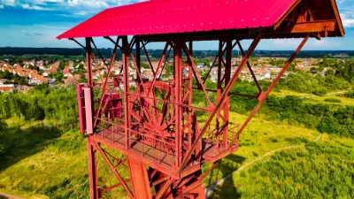
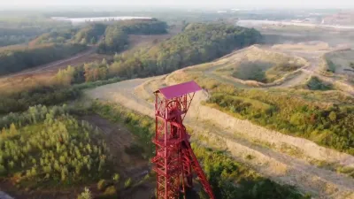
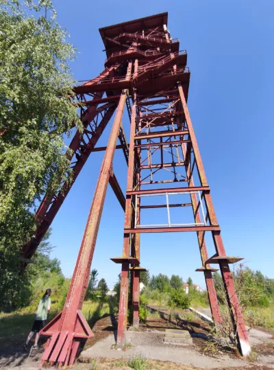
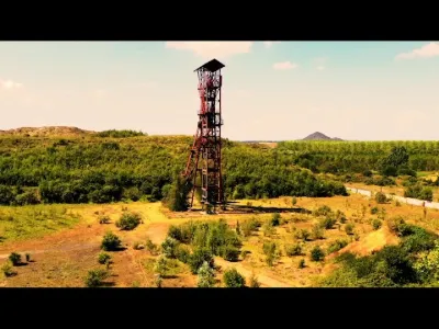
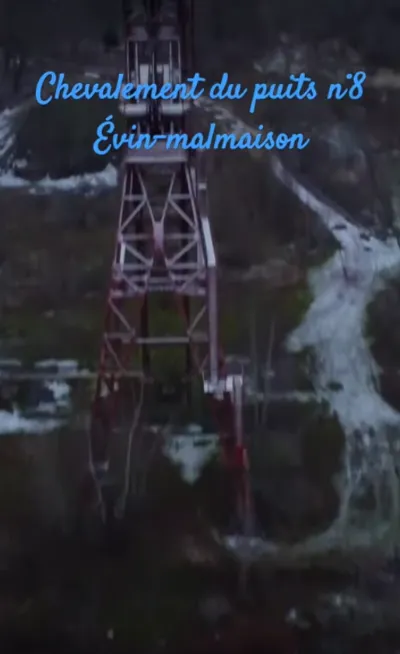
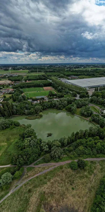
Mining at pit no. 8 began in 1913. Activity stopped during the Great War and only resumed after the sabotaged pits were dewatered. The mine buildings were rebuilt in the 1920s. In 1923, the temporary facilities intended to allow work on shaft no. 8 to resume, and the sinking of shaft no. 8 bis to serve as an air return, were completed. In 1926 and 1927, the installation of the shaft no. 8 winding engine, its headframe and winding building was completed. After nationalization, pit no. 8 was connected to no. 7. Shaft no. 8 bis was deepened in 1956 and extraction stopped in 1961 following the commissioning of pit no. 10 at Dourges. Pit no. 8 was then assigned to personnel transport thanks to the installation of new cages. In 1968, pit no. 8 was connected to pits no. 9 and 10 at Oignies via the 630 level, and took over the personnel of pit no. 7, which had closed shortly before. The old and unsuitable headframe was replaced in March of the same year by the one salvaged from shaft no. 3 ter of the Marles mines. The winding engine was also replaced by an 1800 hp Koepe friction winder. The shaft no. 8 bis building would house a ventilation installation. Pit no. 8 ceased operating in 1973. The shafts were used for dewatering the workings of the pit 10 concentration until 1991. At that date, the site was declared out of service, the cables were removed, shaft no. 8 was backfilled and the 8 bis headframe was demolished.
Map and restricted areas
Open in the main mapNearby aerodromes
Open aerodromes within 25 km of the spot, heliports included, with their distance and direction from the spot. Near an aerodrome, drone flying is prohibited or height-limited: check the UAS zones map.
| Aerodrome | Type | Distance | Elevation | Difference |
|---|---|---|---|---|
| Usine Renault Heliport | Heliport | 8.6 km S | 29 m | spot 5 m higher |
| Polyclinique Heliport | Heliport | 11 km SW | 62 m | spot 28 m lower |
| Vitry en Artois Airfield | Aerodrome | 11 km S | 53 m | spot 19 m lower |
| Lille-Lesquin Airport | Airport | 15 km N | 48 m | spot 14 m lower |
| Lens Benifontaine Airfield | Aerodrome | 15 km W | 51 m | spot 17 m lower |
Aviation weather (METAR and TAF)
LFQQ – Lille-Lesquin Airport IFR
METAR
METAR LFQQ 210630Z AUTO 19001KT 2900 0800E R26/1400U R08/P5000 BR BCFG NSC M00/M00 Q1018 BECMG CAVOK
- Wind
- 190°, 2 km/h
- Visibility
- 2.9 km
- Weather
- Patches of fog ; mist
- Clouds
- –
- Temperature
- 0 °C, dew point 0 °C
- QNH
- 1018 hPa
- Flight category
- IFR: ceiling 500–1,000 ft or visibility 1–3 mi
TAF
TAF LFQQ 210500Z 2106/2212 VRB04KT CAVOK PROB40 2106/2108 4000 BR BECMG 2108/2110 17005KT PROB40 2117/2120 4000 BR BKN009 PROB30 2120/2124 BKN013 BECMG 2200/2202 09007KT
| Period (local time) | Change | Wind | Visibility | Weather | Clouds |
|---|---|---|---|---|---|
| 21/11 07:00 → 21/11 09:00 | Initial conditions | Variable, 7 km/h | 10 km or more | No significant weather | No significant cloud |
| 21/11 07:00 → 21/11 09:00 | probability 40% | 4.0 km | Mist | ||
| 21/11 09:00 → 22/11 01:00 | Becoming | 170°, 9 km/h | 10 km or more | No significant weather | No significant cloud |
| 21/11 18:00 → 21/11 21:00 | probability 40% | 4.0 km | Mist | Broken (5-7/8) at 900 ft (270 m) | |
| 21/11 21:00 → 22/11 01:00 | probability 30% | Broken (5-7/8) at 1,300 ft (400 m) | |||
| 22/11 01:00 → 22/11 13:00 | Becoming | 090°, 13 km/h | 10 km or more | No significant weather | No significant cloud |
Weather and Kp index
Sunrise and sunset
| Day | Dawn | Sunrise | Golden hour | Sunset | Dusk | Day length |
|---|---|---|---|---|---|---|
| Sat 21 Nov | 07:35 | 08:12 | 08:12–09:05 · 16:02–16:56 | 16:56 | 17:32 | 8 h 43 |
| Sun 22 Nov | 07:37 | 08:13 | 08:13–09:07 · 16:01–16:55 | 16:55 | 17:31 | 8 h 41 |
| Mon 23 Nov | 07:38 | 08:15 | 08:15–09:09 · 16:00–16:54 | 16:54 | 17:30 | 8 h 38 |
| Tue 24 Nov | 07:40 | 08:16 | 08:16–09:11 · 15:58–16:53 | 16:53 | 17:30 | 8 h 36 |
| Wed 25 Nov | 07:41 | 08:18 | 08:18–09:13 · 15:57–16:52 | 16:52 | 17:29 | 8 h 33 |
| Thu 26 Nov | 07:42 | 08:19 | 08:19–09:14 · 15:56–16:51 | 16:51 | 17:28 | 8 h 31 |
| Fri 27 Nov | 07:44 | 08:21 | 08:21–09:16 · 15:55–16:50 | 16:50 | 17:27 | 8 h 29 |

Reviews
Log in to review this spot. Log in · Create a free account
No reviews yet. Share yours!