Local times at the spot (UTC+02:00). The golden hour, the warm, low light sought after for photos and videos, runs from sunrise until the sun reaches 6° above the horizon, and in the evening from 6° until sunset.
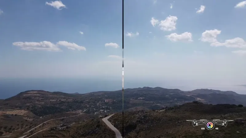
Paleóchora (en grec, aussi orthographié Paliochora, Paliohora, Palaiochora et Paleohora) est un petit village de pêcheurs de Crète (Grèce) transformé en station balnéaire. Il est situé au sud-ouest de l'île, dans le district régional de La Canée (...)
Kandanos-Sélino est un dème de la périphérie de la Crète en Grèce. Le dème actuel est issu de la fusion en 2011 entre les dèmes de Kantanos, et Sélino oriental. (...)
Kándanos ou Kántanos (en Grec: ou est une ville de Crète, en Grèce. Située dans le sud-ouest de l'île, elle appartient au nome de La Canée, et est située à 55 kilomètres de La Canée, sur la route menant à Paleóchora. La population se monte à 564 habitants et 967 pour l'ensemble de la commune (...)
Sougia est un petit village du sud-ouest de la Crète, à 75 kilomètres de Chanía (La Canée). Sougia, qui compte 109 habitants à l'année, appartient au nome de la Canée, l'un des quatre qui composent la Crète. Elle appartient également à la municipalité de Sélino, qui appartient elle-même à la région (...)
Les gorges d'Agia Irini (les « gorges de Sainte-Irène ») sont situées à l'ouest de l'île de Crète, en Grèce. Elles appartiennent au massif des Lefká Óri, les « montagnes blanches ». (...)
Articles found by GeoNames from the spot's position.
Audience measurement
Drone-Spot, which shows no ads, would like to count its visits with Google Analytics (anonymous statistics) to improve the site. Do you agree?
Learn more


Reviews
Log in to review this spot. Log in · Create a free account
No reviews yet. Share yours!