

Bassin d'Arcachon - Port de Larros

No reviews yet
Have you flown here? Share your experience with other pilots.
+ Write the first reviewDescription
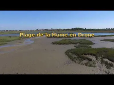
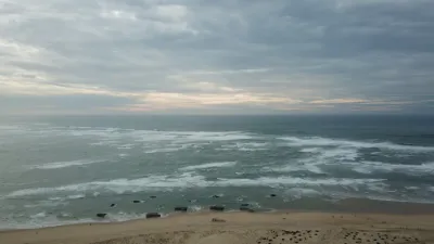
A sequel to the previous video (Domaine de Certes with Benoît Vélu), in this natural sanctuary where two worlds meet. The Bassin d'Arcachon (December 2024), a symphony of feathers where elegant brent geese (Branta bernicla), exuberant Egyptian geese (Alopochen aegyptiaca) and many other local and migratory species mingle. A living tableau where diversity reigns supreme, a hymn to harmony between species. I found that Handel's Passacaglia was the most fitting music for this magical place.
Map and restricted areas
Open in the main mapNearby aerodromes
Open aerodromes within 25 km of the spot, heliports included, with their distance and direction from the spot. Near an aerodrome, drone flying is prohibited or height-limited: check the UAS zones map.
| Aerodrome | Type | Distance | Elevation | Difference |
|---|---|---|---|---|
| Aérodrome d'Arcachon-La Teste-de-Buch | Airport | 6.3 km SW | 16 m | spot 15 m lower |
| Centre Hospitalier Heliport | Heliport | 7.2 km W | 6 m | spot 5 m lower |
| Aérodrome d'Andernos | Aerodrome | 12 km N | 20 m | spot 19 m lower |
| Cazaux (BA 120) Air Base | Airport | 13 km S | 26 m | spot 25 m lower |
Aviation weather (METAR and TAF)
LFBC – Cazaux (BA 120) Air Base VFR
METAR
METAR LFBC 211030Z AUTO 14012KT CAVOK 14/08 Q1015
- Wind
- 140°, 22 km/h
- Visibility
- 10 km or more
- Clouds
- –
- Temperature
- 14 °C, dew point 8 °C
- QNH
- 1015 hPa
- Flight category
- VFR: ceiling > 3,000 ft and visibility > 5 mi
TAF
Weather and Kp index
Sunrise and sunset
| Day | Dawn | Sunrise | Golden hour | Sunset | Dusk | Day length |
|---|---|---|---|---|---|---|
| Sat 21 Nov | 07:37 | 08:09 | 08:09–08:54 · 16:46–17:31 | 17:31 | 18:03 | 9 h 22 |
| Sun 22 Nov | 07:38 | 08:10 | 08:10–08:56 · 16:45–17:31 | 17:31 | 18:03 | 9 h 20 |
| Mon 23 Nov | 07:39 | 08:11 | 08:11–08:57 · 16:44–17:30 | 17:30 | 18:02 | 9 h 18 |
| Tue 24 Nov | 07:40 | 08:13 | 08:13–08:59 · 16:43–17:29 | 17:29 | 18:01 | 9 h 16 |
| Wed 25 Nov | 07:42 | 08:14 | 08:14–09:00 · 16:43–17:29 | 17:29 | 18:01 | 9 h 14 |
| Thu 26 Nov | 07:43 | 08:15 | 08:15–09:01 · 16:42–17:28 | 17:28 | 18:00 | 9 h 12 |
| Fri 27 Nov | 07:44 | 08:16 | 08:16–09:03 · 16:41–17:27 | 17:27 | 18:00 | 9 h 11 |




Reviews
Log in to review this spot. Log in · Create a free account
No reviews yet. Share yours!