

Water
Le Lago Blu – Valtournenche
No reviews yet
Have you flown here? Share your experience with other pilots.
+ Write the first reviewDescription
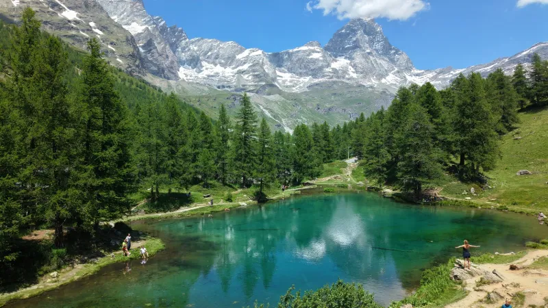
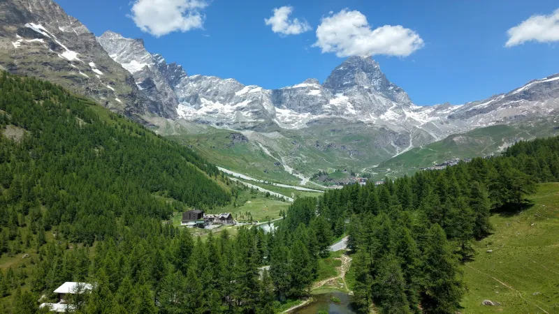
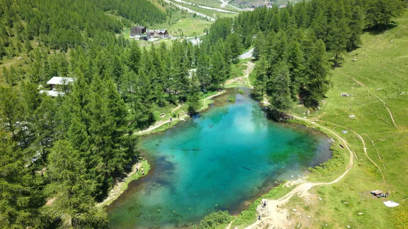
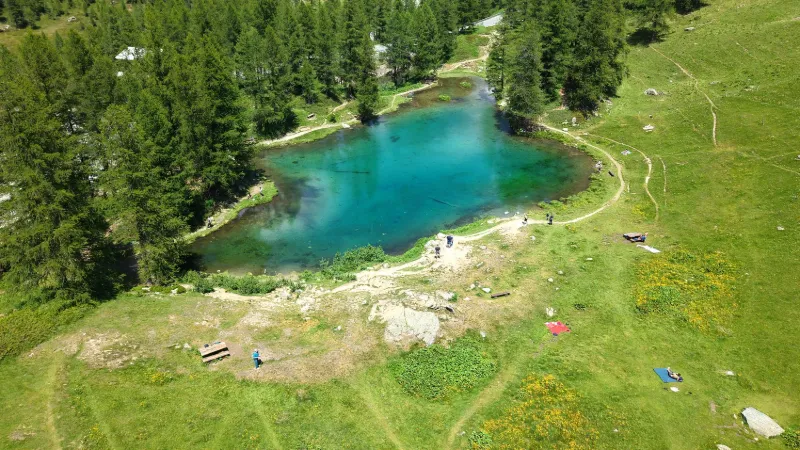
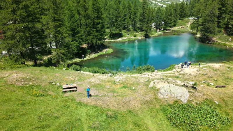
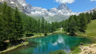
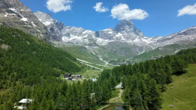
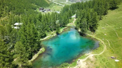
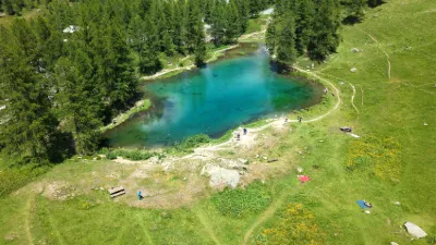
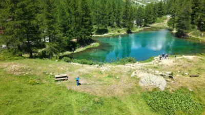
The Lago Blu is half an hour's walk, or a few minutes by car, from the center of Breuil-Cervinia, on the regional road that climbs from Valtournenche. Surrounded by centuries-old larches, the small lake, fed by spring water, is always very clear and lets the Matterhorn reflect in it. Near VALTOURNENCHE
Map and restricted areas
Open in the main mapAviation weather (METAR and TAF)
LSGS – Sion Airport VFR
METAR
METAR LSGS 221850Z AUTO VRB01KT 9999 -RA BKN/// 05/04 Q1010
- Wind
- Variable, 2 km/h
- Visibility
- 10 km or more
- Weather
- Rain light
- Clouds
- –
- Temperature
- 5 °C, dew point 4 °C
- QNH
- 1010 hPa
- Flight category
- VFR: ceiling > 3,000 ft and visibility > 5 mi
TAF
TAF LSGS 221425Z 2215/2224 VRB02KT 9000 -RA FEW010 OVC025 TEMPO 2215/2224 4000 RA BR BKN012
| Period (local time) | Change | Wind | Visibility | Weather | Clouds |
|---|---|---|---|---|---|
| 22/11 16:00 → 23/11 01:00 | Initial conditions | Variable, 4 km/h | 9 km | Rain light | Few (1-2/8) at 1,000 ft (300 m) ; Overcast (8/8) at 2,500 ft (760 m) |
| 22/11 16:00 → 23/11 01:00 | Temporarily | 4.0 km | Rain ; mist | Broken (5-7/8) at 1,200 ft (370 m) |
Weather and Kp index
| Day | Weather | Temp. min. / max. | Wind | Rain | Max Kp |
|---|---|---|---|---|---|
| Sun 22 Nov | Snow | -2° / -1° | 14 km/h NW | 5.4 mm | 1 |
| Mon 23 Nov | Snow | -9° / -2° | 13 km/h NW | 7.9 mm | 4 |
| Tue 24 Nov | Cloudy | -11° / -2° | 7 km/h N | 4.0 mm | 2 |
| Wed 25 Nov | Snow | -5° / -3° | 10 km/h E | 13 mm | 2 |
| Thu 26 Nov | Cloudy | -7° / -3° | 5 km/h N | 1.8 mm | – |
| Fri 27 Nov | Cloudy | -13° / -6° | 6 km/h N | 0.6 mm | – |
| Sat 28 Nov | Clear sky | -13° / -3° | 7 km/h N | – | – |
Hour by hour: Sunday 22 November
| Time | Weather | Temp. | Wind | Rain | Clouds | Kp |
|---|---|---|---|---|---|---|
| 20:00 | Snow | -1° | 14 km/h NW | 1.2 mm | 100 % | 1 |
| 21:00 | Snow | -1° | 14 km/h NW | 1.4 mm | 100 % | 1 |
| 22:00 | Snow | -1° | 13 km/h NW | 1.5 mm | 100 % | 1 |
Hour by hour: Monday 23 November
| Time | Weather | Temp. | Wind | Rain | Clouds | Kp |
|---|---|---|---|---|---|---|
| 06:00 | Snow | -3° | 11 km/h NW | 0.4 mm | 99 % | 2 |
| 07:00 | Snow | -4° | 12 km/h NW | 0.2 mm | 98 % | 2 |
| 08:00 | Snow | -4° | 10 km/h NW | 0.2 mm | 99 % | 2 |
| 09:00 | Snow | -4° | 9 km/h NW | 0.1 mm | 99 % | 2 |
| 10:00 | Snow | -3° | 8 km/h NW | 0.2 mm | 94 % | 2 |
| 11:00 | Snow | -2° | 7 km/h NW | 0.2 mm | 94 % | 2 |
| 12:00 | Snow | -2° | 7 km/h W | 0.2 mm | 90 % | 2 |
| 13:00 | Snow | -2° | 7 km/h W | 0.1 mm | 91 % | 4 |
| 14:00 | Snow | -2° | 8 km/h NW | 0.2 mm | 90 % | 4 |
| 15:00 | Snow | -2° | 8 km/h NW | 0.1 mm | 90 % | 4 |
| 16:00 | Fog | -2° | 8 km/h NW | – | 91 % | 4 |
| 17:00 | Fog | -3° | 7 km/h NW | – | 95 % | 4 |
| 18:00 | Fog | -4° | 7 km/h NW | – | 91 % | 4 |
| 19:00 | Fog | -4° | 6 km/h NW | – | 79 % | 3 |
| 20:00 | Fog | -4° | 6 km/h NW | – | 80 % | 3 |
| 21:00 | Fog | -5° | 6 km/h N | – | 91 % | 3 |
| 22:00 | Fog | -6° | 7 km/h N | – | 90 % | 2 |
Sunrise and sunset
| Day | Dawn | Sunrise | Golden hour | Sunset | Dusk | Day length |
|---|---|---|---|---|---|---|
| Sun 22 Nov | 07:06 | 07:39 | 07:39–08:26 · 16:05–16:52 | 16:52 | 17:25 | 9 h 12 |
| Mon 23 Nov | 07:08 | 07:41 | 07:41–08:28 · 16:04–16:51 | 16:51 | 17:24 | 9 h 10 |
| Tue 24 Nov | 07:09 | 07:42 | 07:42–08:29 · 16:03–16:50 | 16:50 | 17:24 | 9 h 08 |
| Wed 25 Nov | 07:10 | 07:43 | 07:43–08:31 · 16:02–16:50 | 16:50 | 17:23 | 9 h 06 |
| Thu 26 Nov | 07:11 | 07:44 | 07:44–08:32 · 16:01–16:49 | 16:49 | 17:22 | 9 h 04 |
| Fri 27 Nov | 07:12 | 07:46 | 07:46–08:34 · 16:01–16:49 | 16:49 | 17:22 | 9 h 02 |
| Sat 28 Nov | 07:14 | 07:47 | 07:47–08:35 · 16:00–16:48 | 16:48 | 17:21 | 9 h 01 |
Reviews
Log in to review this spot. Log in · Create a free account
No reviews yet. Share yours!