

Lac des Cordeliers - Pierre-Châtel
No reviews yet
Have you flown here? Share your experience with other pilots.
+ Write the first reviewDescription
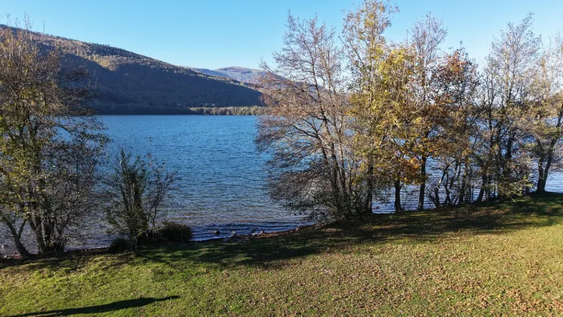
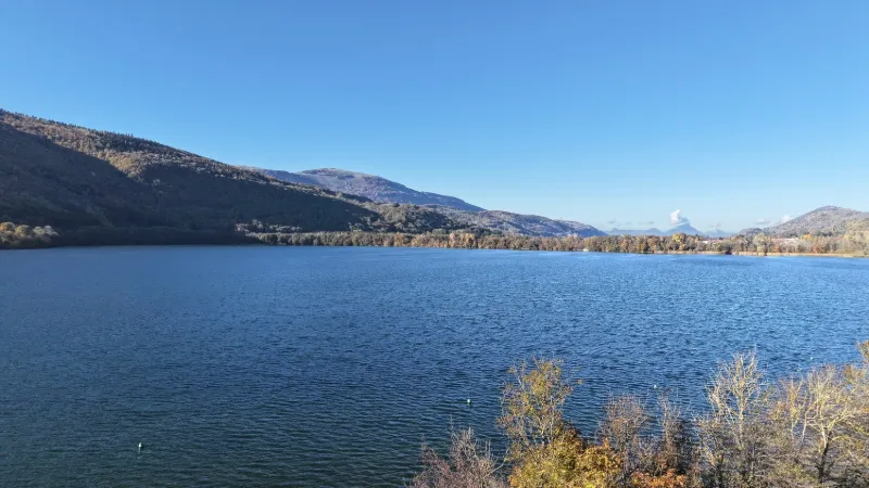
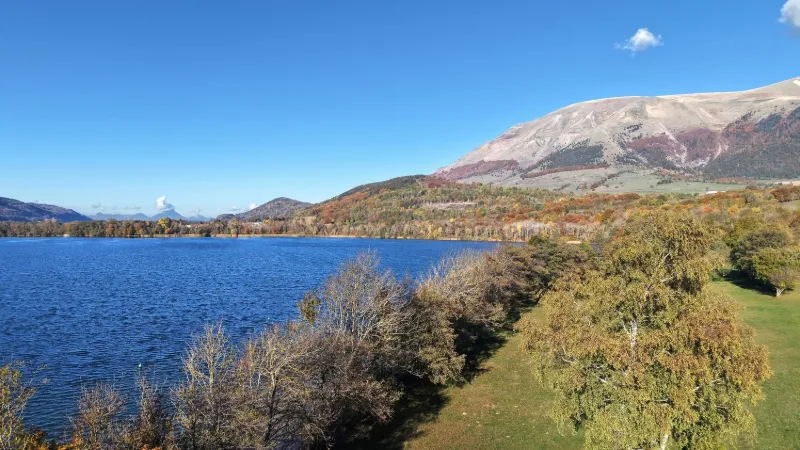
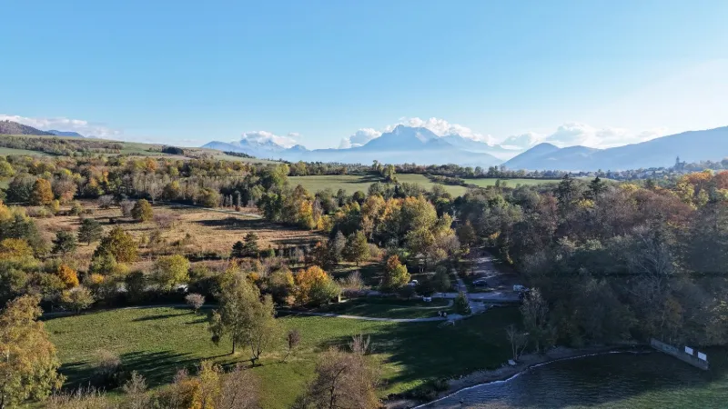
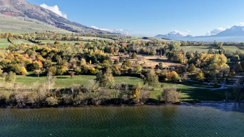
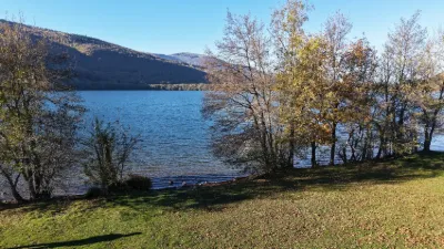
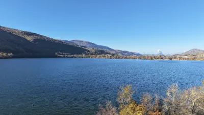
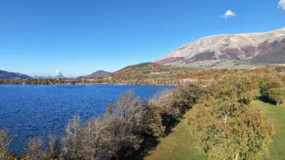
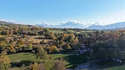
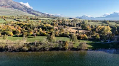
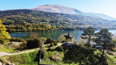
Along with Lake Laffrey and Lake Petichet, the two closest to Grenoble, the Lac des Cordeliers (or Lac de Pierre-Châtel) offers large grassy beaches, a real playground for all sorts of activities. In summer, it is common to see groups playing volleyball and badminton, and even enjoying from their towels the casual football and rugby passes. Thoroughly friendly, Lac de Pierre-Châtel is the only one of the three to provide barbecues. Swimming prohibited. Personal watercraft prohibited. Large grassy picnic area, all-wooden playground, picnic tables, barbecues... A great way to spend time by the water! → In the summer season and on weekends, be mindful of the presence of walkers and swimmers.
Near LA MURE
Map and restricted areas
Open in the main mapNearby aerodromes
Open aerodromes within 25 km of the spot, heliports included, with their distance and direction from the spot. Near an aerodrome, drone flying is prohibited or height-limited: check the UAS zones map.
| Aerodrome | Type | Distance | Elevation | Difference |
|---|---|---|---|---|
| Quartier-Reynies Heliport | Heliport | 16 km NW | 220 m | spot 713 m higher |
| Mens Airstrip | Aerodrome | 19 km S | 853 m | spot 80 m higher |
| Chateau de Montmeilleur | Aerodrome | 20 km S | 850 m | spot 83 m higher |
| Altisurface de Notre-Dame-de-la-Salette | Aerodrome | 21 km SE | 1,580 m | spot 647 m lower |
Aviation weather (METAR and TAF)
No METAR station within 50 km.
Weather and Kp index
Sunrise and sunset
| Day | Dawn | Sunrise | Golden hour | Sunset | Dusk | Day length |
|---|---|---|---|---|---|---|
| Tue 17 Nov | 07:05 | 07:37 | 07:37–08:22 · 16:22–17:07 | 17:07 | 17:38 | 9 h 29 |
| Wed 18 Nov | 07:07 | 07:38 | 07:38–08:24 · 16:20–17:06 | 17:06 | 17:38 | 9 h 27 |
| Thu 19 Nov | 07:08 | 07:40 | 07:40–08:25 · 16:19–17:05 | 17:05 | 17:37 | 9 h 24 |
| Fri 20 Nov | 07:09 | 07:41 | 07:41–08:27 · 16:18–17:04 | 17:04 | 17:36 | 9 h 22 |
| Sat 21 Nov | 07:10 | 07:42 | 07:42–08:28 · 16:17–17:03 | 17:03 | 17:35 | 9 h 20 |
| Sun 22 Nov | 07:11 | 07:44 | 07:44–08:30 · 16:16–17:02 | 17:02 | 17:35 | 9 h 18 |
| Mon 23 Nov | 07:13 | 07:45 | 07:45–08:31 · 16:15–17:02 | 17:02 | 17:34 | 9 h 16 |

Reviews
Log in to review this spot. Log in · Create a free account
No reviews yet. Share yours!