Drone spots: Loire-Atlantique (44)
210 spots · most viewed first · page 5 of 5
| Photo | Map | Spot | Type | Max height | Access | Views |
|---|---|---|---|---|---|---|
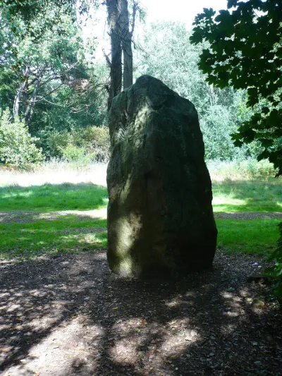
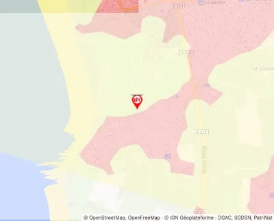
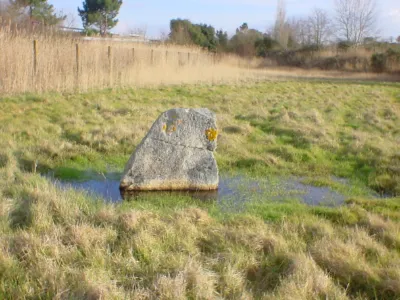
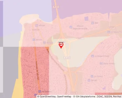
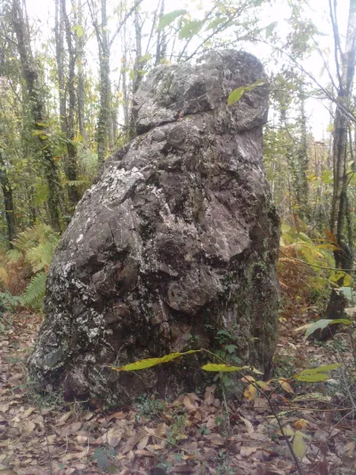
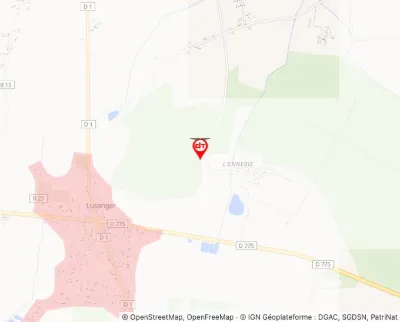
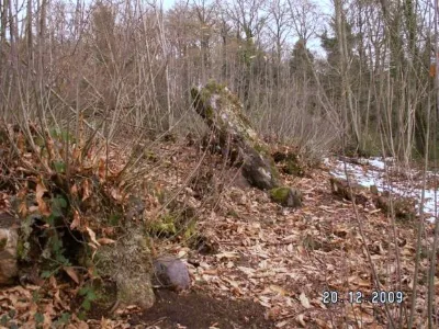
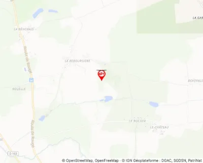
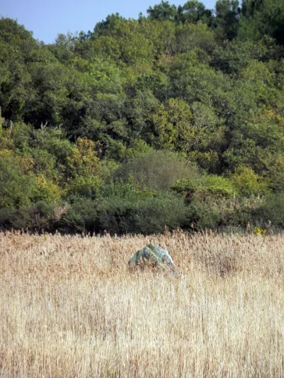
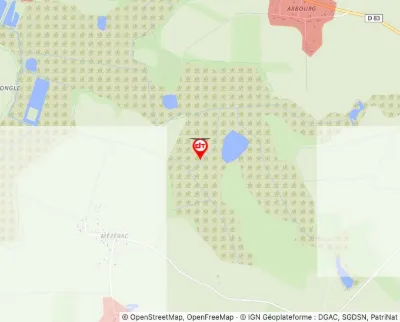
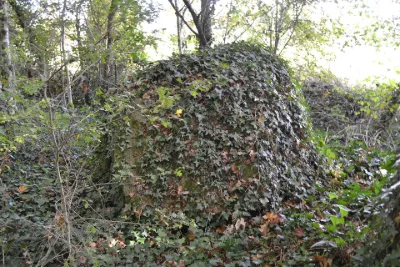
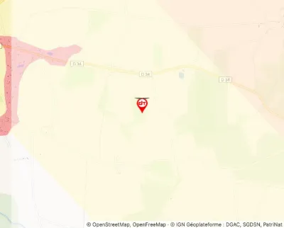
| Menhir | Tourist site | 100 m max | 0 | |||
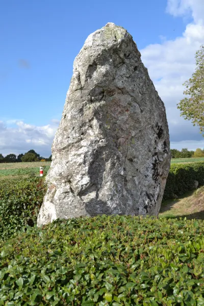
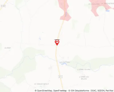
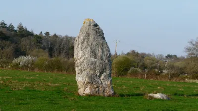
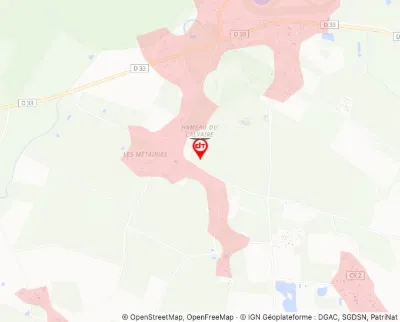
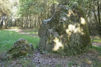
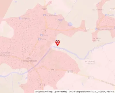
| Menhir known as de la Grée à Midi | Tourist site | 120 m max | 0 | |||
| Menhir known as La Pierre de Gargentua or La Roche des Prés | Tourist site | 30 m max | 0 | |||
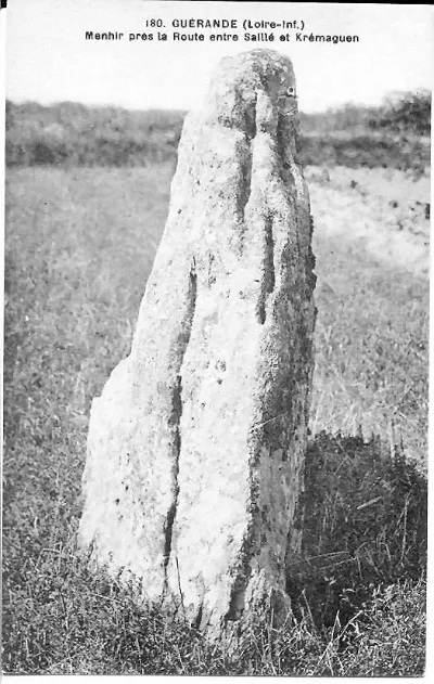
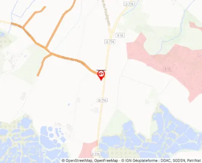
| Menhir known as La Pierre de Saillé | Tourist site | 120 m max | 0 | |||
| Menhir known as La Pierre du Hochu | Tourist site | 120 m max | 0 | |||
| Menhir known as Le Fuseau de la Madeleine | Tourist site | 120 m max | 0 | |||
| Menhir known as Les Pierres Velières | Tourist site | 120 m max | 0 | |||
| Menhirs (two) | Tourist site | 30 m max | 0 | |||
| Mézerac Menhir, otherwise called Roche de Len | Tourist site | 120 m max | 0 | |||
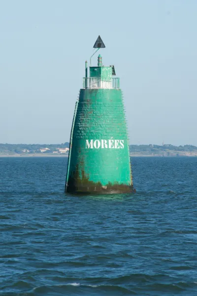
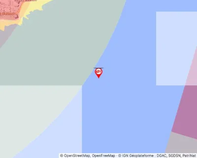
| Morées Beacon | Tourist site | 120 m max | 0 | |||
| Pierre-Pin Menhir or Pierre des Huguenots | Tourist site | 100 m max | 0 | |||
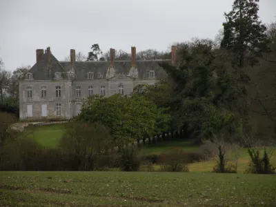
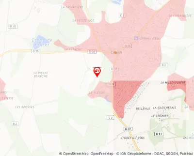
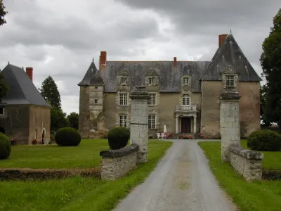
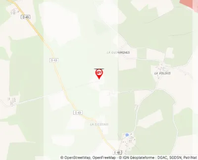
| Plessis Castle | Tourist site | 120 m max | 3 | |||
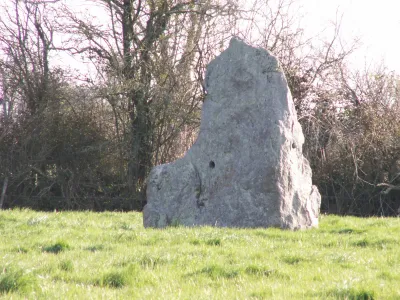
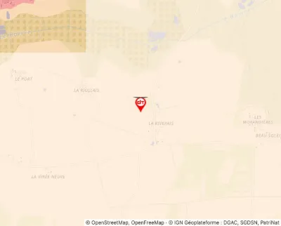
| Quarteron de la Riveraie Menhir | Tourist site | 50 m max | 7 | |||
| Quéhillac Castle | Tourist site | 120 m max | 0 | |||
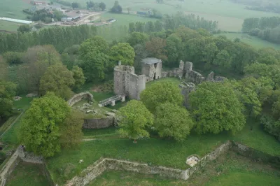
| Ranroët Castle (ruins) | Tourist site | 120 m max | 0 | |||
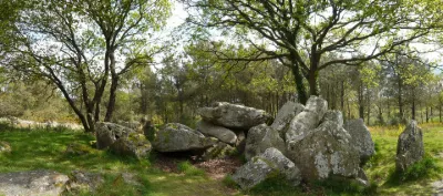
| Riholo Transept Dolmen | Tourist site | 120 m max | 0 | |||
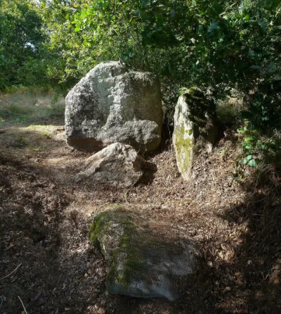
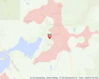
| Sandun Dolmen | Tourist site | 120 m max | 0 | |||
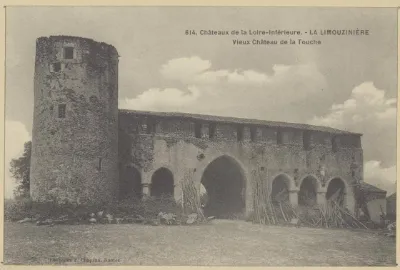
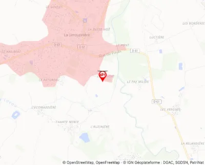
| Touche Manor House | Tourist site | 120 m max | 0 |