Drone spots: Hautes-Pyrénées (65)
112 spots · most viewed first · page 1 of 3
| Photo | Map | Spot | Type | Max height | Access | Views |
|---|---|---|---|---|---|---|
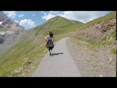
| Gavarnie | Mountain | 120 m max | On foot < 1,000 m | 3,451 | ||
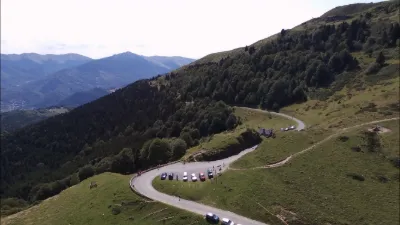
| Pic du Midi | Mountain | 50 m max | Direct access by car | 3,029 | ||
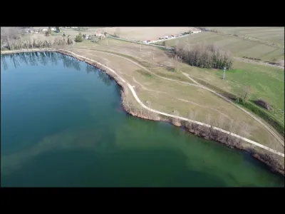
| Lourdes | Water | 30 m max | On foot < 1,000 m | 1,421 | ||
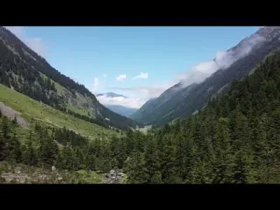
| Saint Lary | Mountain | 120 m max | On foot < 1,000 m | 1,375 | ||
| Pic du Midi de Bigorre | Mountain | 50 m max | On foot > 1,000 m | 1,204 | ||
| La Mongie | Mountain | 50 m max | On foot < 1,000 m | 979 | ||
| Lac d'Estaing | Mountain | 120 m max | On foot < 1,000 m | 944 | ||
| Loudenvielle | Water | 50 m max | On foot < 1,000 m | 786 | ||
| Lake Payolle | Mountain | 120 m max | On foot < 1,000 m | 782 | ||
| Esquiou Plain | Mountain | 120 m max | On foot < 1,000 m | 771 | ||
| The waterfall and the blue lake of Ilhéoux near Cauterets | Water | 120 m max | On foot < 1,000 m | 739 | ||
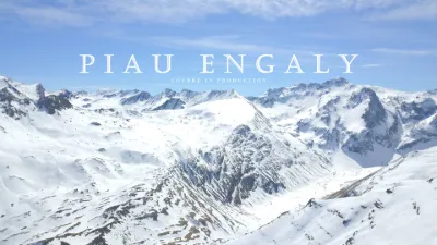
| Piau Engaly | Mountain | 120 m max | On foot < 1,000 m | 720 | ||
| Blue Lake | Mountain | 50 m max | On foot < 1,000 m | 720 | ||
| Tech Lake | Water | 120 m max | On foot < 1,000 m | 564 | ||
| Sandpits of the Pyrenees (Orleix) | Water | 120 m max | Direct access by car | 483 | ||
| Tucoy Peak - Pyrenees | Mountain | 50 m max | On foot > 1,000 m | 475 | ||
| Payolle Lake (65) | Water | 120 m max | Direct access by car | 449 | ||
| Bellevue Tray Gavarnie | Water | 120 m max | On foot < 1,000 m | 440 | ||
| Au Bevédère de la Croix Blanche | Mountain | 120 m max | On foot < 1,000 m | 424 | ||
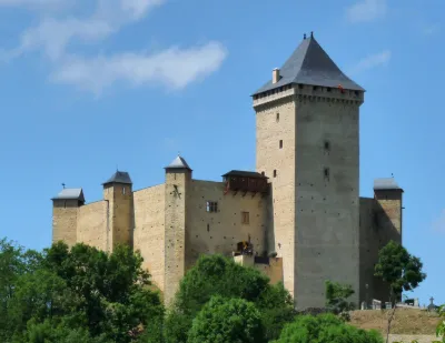
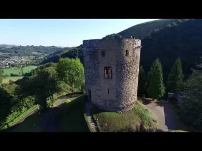
| Mauvezin Castle | Heritage | 50 m max | Direct access by car | 416 | ||
| At Lake Estaing | Mountain | 120 m max | On foot < 1,000 m | 401 | ||
| Lake Payolle | Water | 120 m max | Direct access by car | 397 | ||
| Tech Dam | Mountain | 120 m max | On foot < 1,000 m | 384 | ||
| Cape Long Lake | Mountain | 120 m max | On foot < 1,000 m | 382 | ||
| Saint Lary (Espiaube, Pla d'Adet, Cap de Long) | Mountain | 120 m max | On foot < 1,000 m | 374 | ||
| Lake Bassias | Water | 50 m max | On foot < 1,000 m | 374 | ||
| Castle of Les Angles | Heritage | 30 m max | On foot < 1,000 m | 354 | ||
| Mount Béou near Lourdes | Mountain | 120 m max | On foot < 1,000 m | 349 | ||
| Ancizan's Cap | Mountain | 120 m max | Direct access by car | 338 | ||
| The Wolf Pact | Unusual | 50 m max | Access not specified | 331 | ||
| Hautacam in the High Pyrenees | Mountain | 50 m max | On foot < 1,000 m | 330 | ||
| Chapel of Roumé | Heritage | 50 m max | On foot < 1,000 m | 328 | ||
| Lake Isaby | Mountain | 50 m max | On foot < 1,000 m | 310 | ||
| Lake Ourrec | Water | 50 m max | On foot < 1,000 m | 289 | ||
| Near the golf of Lourdes | Water | 120 m max | On foot < 1,000 m | 275 | ||
| Lake Estaing | Water | 120 m max | On foot < 1,000 m | 272 | ||
| The virgin of the Bedat | Mountain | 120 m max | On foot < 1,000 m | 271 | ||
| Lake of the Arré stop | Water | 50 m max | On foot < 1,000 m | 254 | ||
| Tente's cabbage | Water | 120 m max | On foot < 1,000 m | 253 | ||
| La Fruitière | Mountain | 120 m max | On foot < 1,000 m | 246 | ||
| Lake Bours | Water | 120 m max | Direct access by car | 240 | ||
| Ancizan Hourquette | Mountain | 120 m max | On foot < 1,000 m | 239 | ||
| Lake Gabas | Water | 50 m max | On foot < 1,000 m | 227 | ||
| Lake Ourrec | Mountain | 50 m max | On foot > 1,000 m | 224 | ||
| Plateau de Saugue | Mountain | 50 m max | Direct access by car | 208 | ||
| Lac d'Estaing | Mountain | 120 m max | Direct access by car | 191 | ||
| Lac des Gloriettes | Mountain | 120 m max | On foot < 1,000 m | 190 | ||
| Around Viger | Mountain | 50 m max | On foot < 1,000 m | 185 |