Drone spots: Pyrénées-Orientales (66)
177 spots · most viewed first · page 2 of 4
| Photo | Map | Spot | Type | Max height | Access | Views |
|---|---|---|---|---|---|---|
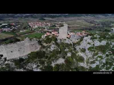
| Tautavel Castle | Heritage | 50 m max | On foot < 1,000 m | 241 | ||
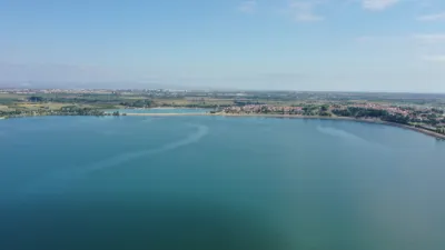
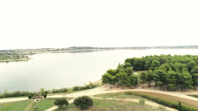
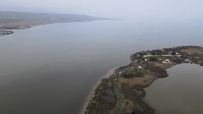
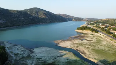
| Lake Villeneuve de la Raho | Water | 60 m max | On foot < 1,000 m | 240 | ||
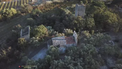
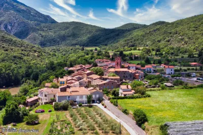
| Hamlet of Casenoves | Water | 120 m max | On foot < 1,000 m | 240 | ||
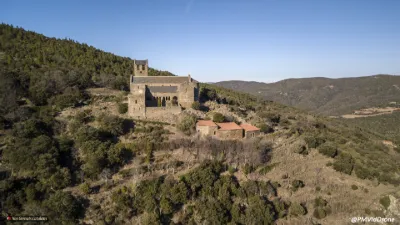
| Ermitage of Serrabona | Heritage | 120 m max | On foot < 1,000 m | 233 | ||
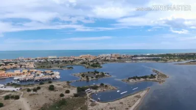
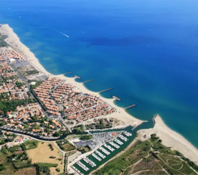
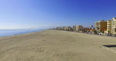
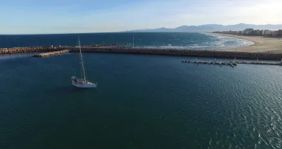
| Le Barcarès | Water | 120 m max | Direct access by car | 216 | ||
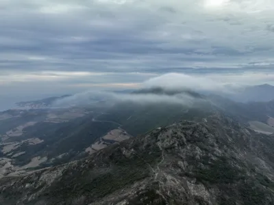
| Laroque des Albères | Mountain | 120 m max | On foot < 1,000 m | 212 | ||
| Ille sur tet | Mountain | 120 m max | On foot < 1,000 m | 209 | ||
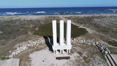
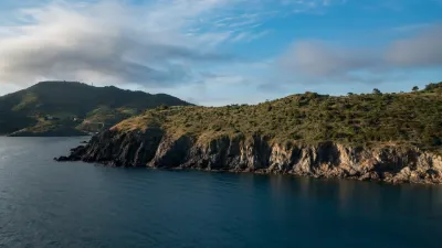
| Pointe de Cerbère | Water | 60 m max | Direct access by car | 206 | ||
| Estoher | Unusual | 120 m max | On foot < 1,000 m | 182 | ||
| Le Barcarès | Water | 120 m max | Direct access by car | 177 | ||
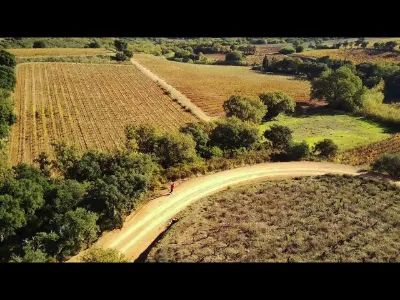
| Les Vignes de Terrats | Unusual | 30 m max | Direct access by car | 171 | ||
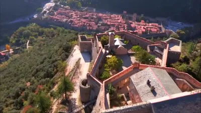
| Villefranche de Conflent | Heritage | 120 m max | Direct access by car | 170 | ||
| Tour de Mir | Heritage | 120 m max | On foot > 1,000 m | 169 | ||
| Salses Fortress | Heritage | 50 m max | Direct access by car | 164 | ||
| Le Barcarès | Heritage | 120 m max | Direct access by car | 164 | ||
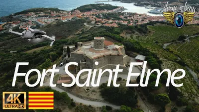
| Fort Saint Elme | Heritage | 120 m max | On foot < 1,000 m | 164 | ||
| Vernet les Bains | Water | 120 m max | On foot < 1,000 m | 162 | ||
| Pézilla-la-Rivière | Unusual | 120 m max | On foot < 1,000 m | 158 | ||
| Salses | Heritage | 50 m max | On foot < 1,000 m | 155 | ||
| Remains of Fort Mauresque, Port-Vendres | Heritage | 120 m max | Direct access by car | 155 | ||
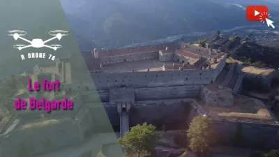
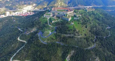
| The Fort de Belgarde | Heritage | 120 m max | On foot < 1,000 m | 152 | ||
| Montauriol | Mountain | 30 m max | Direct access by car | 150 | ||
| Sainte Marie la mer | Water | 30 m max | Access not specified | 143 | ||
| Tours de Cabrenç | Heritage | 120 m max | On foot > 1,000 m | 141 | ||
| Lac de Villeneuve de la Raho | Water | 120 m max | Direct access by car | 130 | ||
| Fontecouverte | Mountain | 120 m max | Direct access by car | 128 | ||
| Casteil | Heritage | 120 m max | On foot > 1,000 m | 123 | ||
| Collioure - Fort St Elme | Heritage | 120 m max | Direct access by car | 119 | ||
| Chapelle de Sainte Puelles | Heritage | 50 m max | Direct access by car | 117 | ||
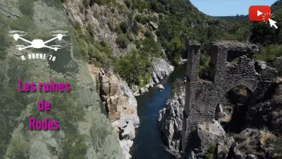
| Rodès | Heritage | 120 m max | On foot < 1,000 m | 116 | ||
| Gorges du Gouleyrous | Water | 50 m max | On foot < 1,000 m | 114 | ||
| Ille sur Têt | Heritage | 120 m max | On foot < 1,000 m | 113 | ||
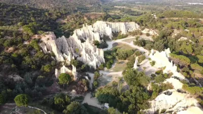
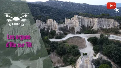
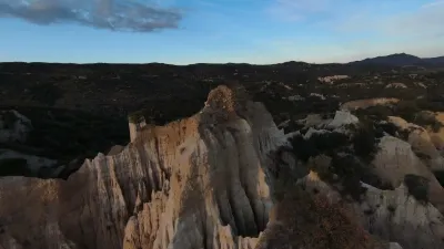
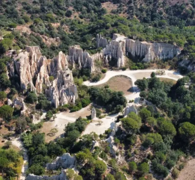
| Natural Organ Pipes of Ille sur Tet | Unusual | 120 m max | On foot < 1,000 m | 105 | ||
| Etang de Canet | Water | 120 m max | On foot < 1,000 m | 95 | ||
| Barcarès Lagoon | Water | 120 m max | On foot < 1,000 m | 94 | ||
| Opoul Cliffs | Mountain | 50 m max | Direct access by car | 93 | ||
| Sainte Marie 66 | Water | 50 m max | On foot < 1,000 m | 92 | ||
| Villefranche de Conflent (66) | Heritage | 120 m max | On foot > 1,000 m | 85 | ||
| Estany negre | Mountain | 50 m max | On foot > 1,000 m | 85 | ||
| Canet en Roussillon beach seen from the port | Water | 60 m max | Direct access by car | 71 | ||
| Etang de Salses | Water | 50 m max | On foot < 1,000 m | 71 | ||
| Madeloc Tower | Heritage | 120 m max | On foot > 1,000 m | 66 | ||
| Orgues d'Ille sur Têt | Heritage | 120 m max | On foot < 1,000 m | 64 | ||
| Port of Canet Plage in Roussillon | Water | 60 m max | On foot < 1,000 m | 61 | ||
| Vinça reservoir | Water | 120 m max | On foot < 1,000 m | 60 | ||
| Fort de Bellegarde Le Perthus 2 | Heritage | 120 m max | Direct access by car | 60 | ||
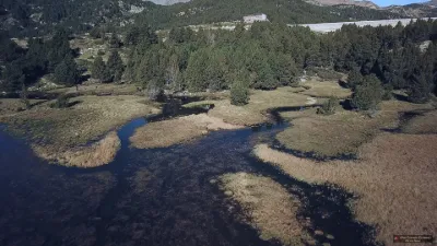
| The Tet resumes its course after the Bouillouses dam | Water | 50 m max | Direct access by car | 60 | ||
| Mouth of the Agly at Barcarès | Water | 120 m max | Direct access by car | 58 |