Drone spots: Pyrénées-Orientales (66)
177 spots · most viewed first · page 3 of 4
| Photo | Map | Spot | Type | Max height | Access | Views |
|---|---|---|---|---|---|---|
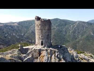
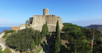
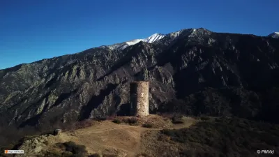
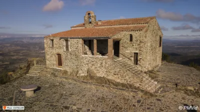
| Tour de la Massane | Heritage | 120 m max | On foot > 1,000 m | 57 | ||
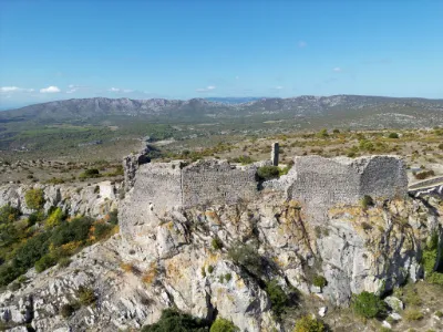
| Opoul | Heritage | 50 m max | On foot < 1,000 m | 54 | ||
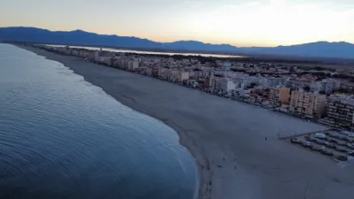
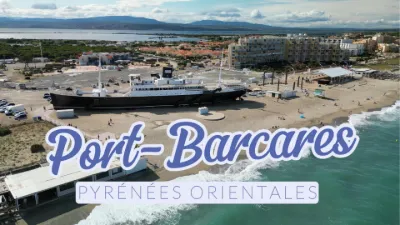
| Le Barcarès | Water | 50 m max | Direct access by car | 54 | ||
| The Port-Vendres jetty | Water | 120 m max | Direct access by car | 53 | ||
| Le clot de la Dona | Unusual | 120 m max | Direct access by car | 53 | ||
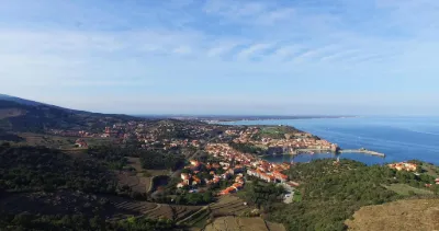
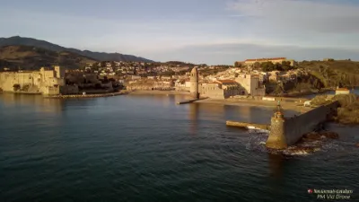
| View of the bay of Collioure | Water | 120 m max | On foot < 1,000 m | 52 | ||
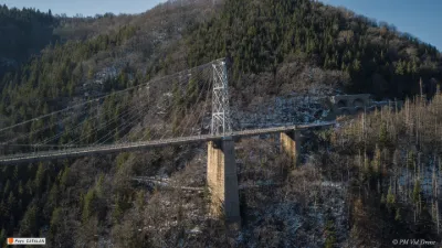
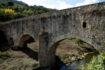
| Pont Gisclard | Heritage | 50 m max | On foot < 1,000 m | 51 | ||
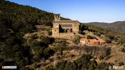
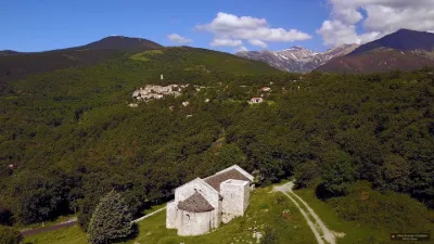
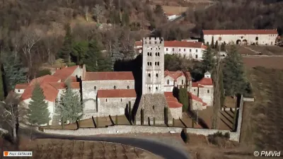
| Prieuré de Serrabona | Heritage | 120 m max | On foot < 1,000 m | 50 | ||
| perillos | Heritage | 120 m max | Direct access by car | 48 | ||
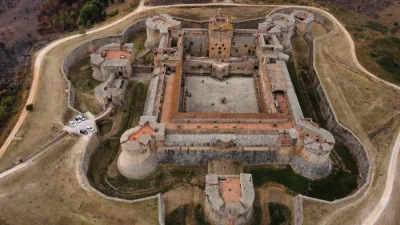
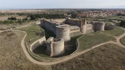
| Salses le château | Heritage | 50 m max | On foot < 1,000 m | 47 | ||
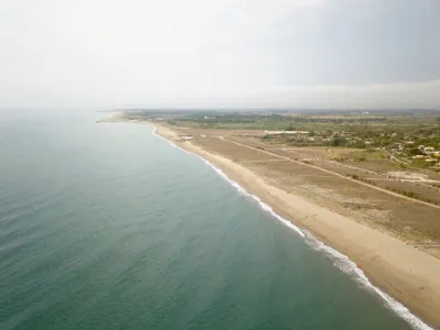
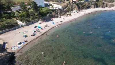
| Torreilles beach | Water | 50 m max | On foot < 1,000 m | 47 | ||
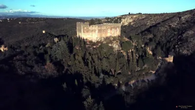
| Castelnou Castle. | Heritage | 120 m max | Direct access by car | 46 | ||
| Pont Séjourné | Heritage | 50 m max | Access not specified | 46 | ||
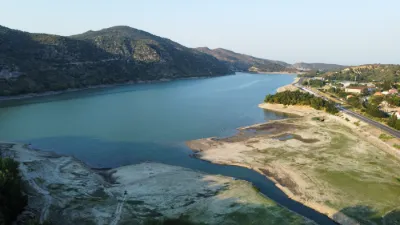
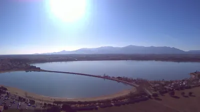
| Lac de Vinça | Water | 120 m max | On foot < 1,000 m | 45 | ||
| Forteresse de Salses le Château | Heritage | 50 m max | Direct access by car | 45 | ||
| Cannet en Roussillon | Water | 60 m max | On foot < 1,000 m | 44 | ||
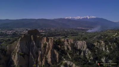
| The organ pipes of Ille sur Tet | Mountain | 120 m max | On foot > 1,000 m | 44 | ||
| Lakeside | Water | 30 m max | Direct access by car | 42 | ||
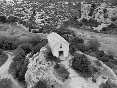
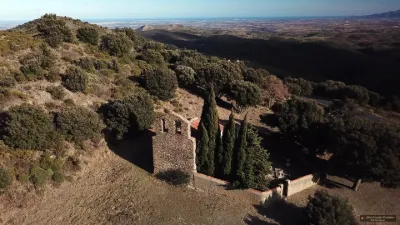
| Chapel of Sant Marti | Heritage | 120 m max | Direct access by car | 42 | ||
| Chapel of Fontcouverte | Heritage | 120 m max | Direct access by car | 42 | ||
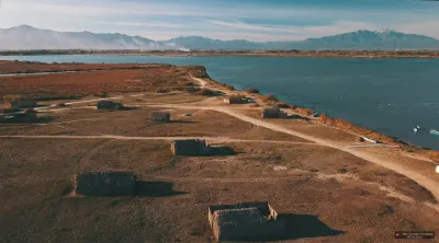
| Eel fishermen's huts | Heritage | 120 m max | Direct access by car | 42 | ||
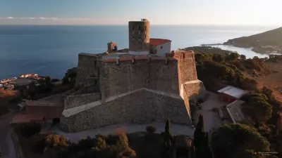
| Fort St Elme, in the morning. | Heritage | 120 m max | Direct access by car | 41 | ||
| Fort Saint Elme in the commune of Collioure | Heritage | 120 m max | Direct access by car | 41 | ||
| The Pics Pérics | Mountain | 50 m max | On foot > 1,000 m | 40 | ||
| Plage du Lydia - Le Barcarès | Water | 120 m max | Direct access by car | 39 | ||
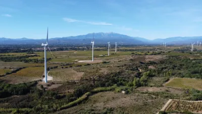
| Calce wind farm | Unusual | 50 m max | Direct access by car | 39 | ||
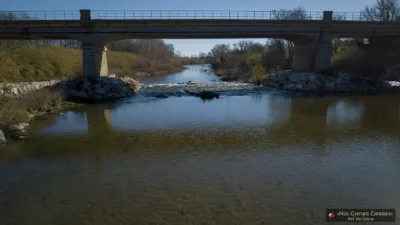
| Bridge over the Tet | Water | 30 m max | Direct access by car | 39 | ||
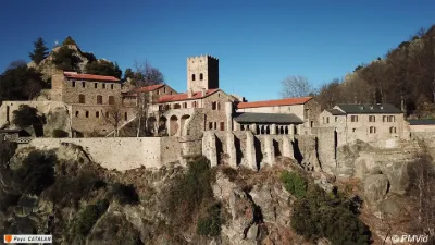
| Abbaye de Saint Martin du Canigó | Heritage | 120 m max | Direct access by car | 37 | ||
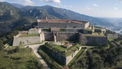
| Fort de Bellegarde | Heritage | 120 m max | Direct access by car | 37 | ||
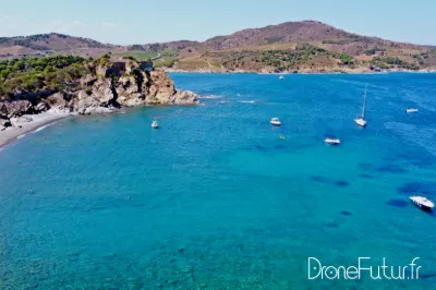
| Cap d'Ullastrell | Water | 120 m max | On foot < 1,000 m | 34 | ||
| Ansignan | Heritage | 120 m max | On foot < 1,000 m | 34 | ||
| Montalba plateau, Ropidere | Mountain | 120 m max | On foot < 1,000 m | 34 | ||
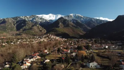
| Vernet les Bains with the Canigó | Unusual | 120 m max | On foot < 1,000 m | 34 | ||
| Porteils cove | Water | 120 m max | Access not specified | 33 | ||
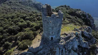
| Tour de Goa | Heritage | 120 m max | On foot > 1,000 m | 32 | ||
| Abbey of Saint Michel de Cuxa | Heritage | 120 m max | Direct access by car | 32 | ||
| Tour de la Massane | Heritage | 120 m max | Access not specified | 31 | ||
| Chemin de latour bas elne | Unusual | 120 m max | On foot < 1,000 m | 31 | ||
| Paulilles Dynamite Factory | Heritage | 120 m max | On foot < 1,000 m | 30 | ||
| fishing village | Water | 120 m max | Direct access by car | 29 | ||
| End of the lake Villeneuve de la raho | Water | 100 m max | On foot < 1,000 m | 28 | ||
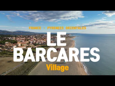
| Plage du Barcarès Village | Water | 50 m max | Direct access by car | 27 | ||
| Ermitage de Força Réal | Heritage | 120 m max | Direct access by car | 26 | ||
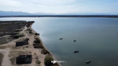
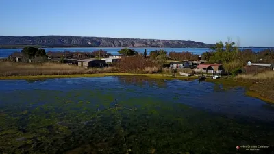
| Fishermen's huts on the Salses lagoon | Water | 120 m max | Access not specified | 25 | ||
| Bay of Collioure from the sea | Water | 120 m max | Direct access by car | 19 | ||
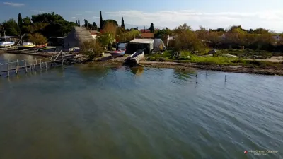
| Catalan boats on the Salses lagoon | Heritage | 120 m max | Direct access by car | 17 | ||
| The Anse des Paulilles, in Port Vendres | Water | 120 m max | On foot < 1,000 m | 16 | ||
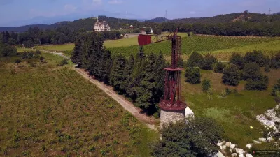
| Wind turbine of the Château d'Aubiry | Heritage | 120 m max | Access not specified | 15 |