Drone spots: Haute-Savoie (74)
293 spots · most viewed first · page 5 of 7
| Photo | Map | Spot | Type | Max height | Access | Views |
|---|---|---|---|---|---|---|
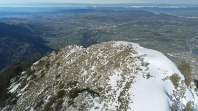
| Platform of the former Mont Baron cable car | Mountain | 120 m max | On foot > 1,000 m | 57 | ||
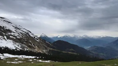
| La croisette | Mountain | 120 m max | Direct access by car | 57 | ||
| Les Mémises | Mountain | 120 m max | On foot > 1,000 m | 56 | ||
| Supersaxel | Unusual | 120 m max | On foot > 1,000 m | 55 | ||
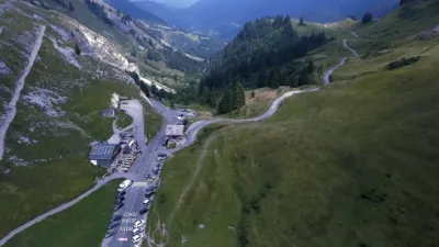
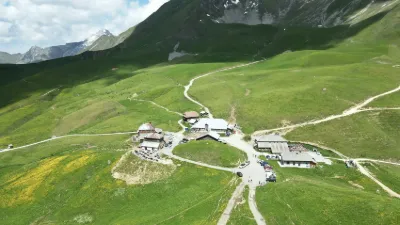
| Col de la Colombière | Mountain | 120 m max | Direct access by car | 53 | ||
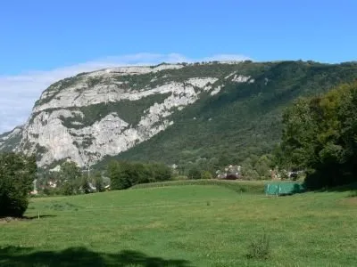
| Le Salève | Unusual | 60 m max | On foot < 1,000 m | 53 | ||
| Pointe d'Andey - Solaison | Mountain | 120 m max | On foot > 1,000 m | 52 | ||
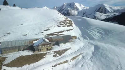
| Chalets de l'Aulp de Marlens - Le Bouchet-Mont-Charvin | Mountain | 120 m max | On foot > 1,000 m | 52 | ||
| Argentiere | Mountain | 120 m max | On foot < 1,000 m | 51 | ||
| Lac de Bellevaux | Water | 120 m max | On foot < 1,000 m | 51 | ||
| Etang des Dronières | Water | 120 m max | Direct access by car | 50 | ||
| Lac de Mole | Water | 120 m max | Direct access by car | 50 | ||
| Col du Tricot | Mountain | 120 m max | On foot > 1,000 m | 50 | ||
| Mont Baron | Mountain | 120 m max | On foot > 1,000 m | 49 | ||
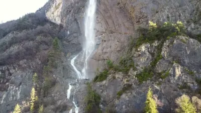
| Chedde Waterfall | Water | 120 m max | Direct access by car | 48 | ||
| Bouza alpine pasture - Notre-Dame-de-Bellecombe | Mountain | 120 m max | On foot > 1,000 m | 47 | ||
| Ubine | Mountain | 120 m max | On foot > 1,000 m | 47 | ||
| Château de Faucigny | Heritage | 120 m max | Direct access by car | 47 | ||
| Barrage d'Emosson | Water | 120 m max | Direct access by car | 47 | ||
| Ban Rouge - Notre-Dame-de-Bellecombe | Mountain | 120 m max | On foot > 1,000 m | 46 | ||
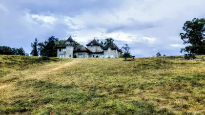
| Domaine de Rovorer | Heritage | 120 m max | Direct access by car | 46 | ||
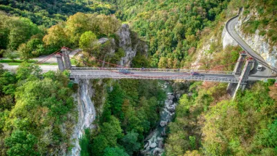
| Pont du diable | Mountain | 120 m max | On foot < 1,000 m | 45 | ||
| Dent d'Oche and Château d'Oche | Mountain | 120 m max | On foot > 1,000 m | 44 | ||
| Les Brasses | Mountain | 120 m max | On foot < 1,000 m | 44 | ||
| Sallanches (74) | Mountain | 120 m max | On foot < 1,000 m | 43 | ||
| Le col des Annes - Les Annes | Water | 120 m max | Direct access by car | 42 | ||
| Domaine de Rovorée, Haute-Savoie | Water | 120 m max | On foot < 1,000 m | 42 | ||
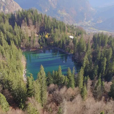
| Lac Vert | Water | 120 m max | Direct access by car | 42 | ||
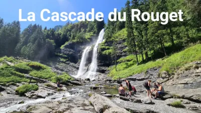
| The Rouget Waterfall Vallée du Giffre, 74740 Sixt-Fer-à-Cheval | Mountain | 120 m max | Direct access by car | 41 | ||
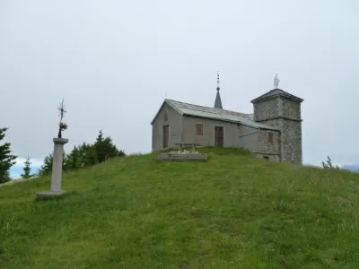
| Chapelle du Feu | Heritage | 120 m max | On foot > 1,000 m | 41 | ||
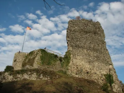
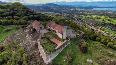
| Château des Allinges | Heritage | 120 m max | On foot > 1,000 m | 41 | ||
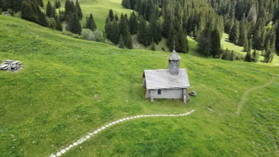
| Chapelle de La Duche - La Duche | Heritage | 120 m max | Direct access by car | 39 | ||
| Fort de la Batterie - Marthod | Heritage | 120 m max | On foot > 1,000 m | 39 | ||
| Hermitage of St Germain sur Talloires | Heritage | 120 m max | On foot < 1,000 m | 38 | ||
| Lac de Passy - Domancy | Water | 100 m max | Direct access by car | 36 | ||
| Col de la pierre carrée | Mountain | 120 m max | On foot < 1,000 m | 36 | ||
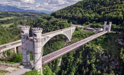
| Gruffy - Pont de l'Abîme | Heritage | 120 m max | On foot < 1,000 m | 36 | ||
| Le Plan du Tour - Le Bouchet-Mont-Charvin | Mountain | 120 m max | On foot > 1,000 m | 35 | ||
| Cruseilles | Heritage | 30 m max | On foot < 1,000 m | 35 | ||
| Le Crêt de l'Aigle - Le Semnoz - Gruffy | Mountain | 120 m max | On foot > 1,000 m | 34 | ||
| Aiguille de Roselette | Mountain | 120 m max | On foot > 1,000 m | 34 | ||
| sixt-fer-a-cheval | Mountain | 120 m max | Direct access by car | 32 | ||
| Pont du diable | Mountain | 120 m max | On foot < 1,000 m | 32 | ||
| Saleve | Mountain | 120 m max | Access not specified | 31 | ||
| La Tête des Annes - Les Annes | Mountain | 120 m max | On foot < 1,000 m | 31 | ||
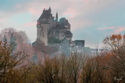
| Menthon Saint Bernard Castle | Heritage | 120 m max | On foot < 1,000 m | 31 | ||
| Allinges - Les Châteaux d'Allinges | Heritage | 120 m max | On foot < 1,000 m | 31 | ||
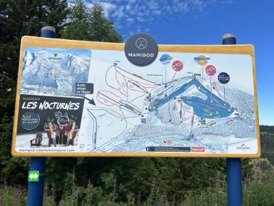
| MANIGOD | Not specified | 120 m max | Access not specified | 30 |