

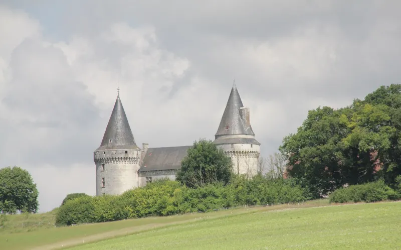
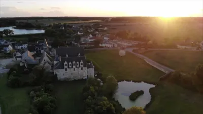
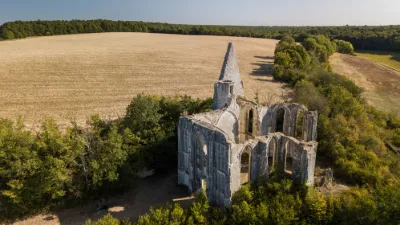
Bagneux Castle
No reviews yet
Have you flown here? Share your experience with other pilots.
+ Write the first reviewHistory
"Château édifié sur un éperon calcaire qui, selon la tradition, communiquait par signaux à feu avec Loches ou la tour de Galles. Des quatre tours qui flanquent le quadrilatère surmonté d'un chemin de ronde, subsistent deux tours qui ont été coiffées d'ardoises après le 15e siècle. La tour dite "du nord" présente une élévation qui, sans doute, permettait de voir jusqu'aux forteresses ou fortins des plateaux voisins. Les mâchicoulis sont conservés en totalité sur les deux tours, et en partie le long du chemin de ronde. Les deux autres tours ont été rasées. Vers 1830, destruction d'un bel escalier de pierre. Vers 1850, la foudre a incendié les greniers."
Map and restricted areas
Open in the main mapRestricted zones
Nearby aerodromes
Open aerodromes within 25 km of the spot, heliports included, with their distance and direction from the spot. Near an aerodrome, drone flying is prohibited or height-limited: check the UAS zones map.
| Aerodrome | Type | Distance | Elevation |
|---|---|---|---|
| Tours Le Louroux Airport | Aerodrome | 11 km N | 126 m |
| Tours Sorigny Airport | Aerodrome | 24 km N | 91 m |
Aviation weather (METAR and TAF)
No METAR station within 50 km.
Weather and Kp index
Sunrise and sunset
| Day | Dawn | Sunrise | Golden hour | Sunset | Dusk | Day length |
|---|---|---|---|---|---|---|
| Tue 17 Nov | 07:30 | 08:04 | 08:04–08:51 · 16:33–17:21 | 17:21 | 17:54 | 9 h 17 |
| Wed 18 Nov | 07:32 | 08:05 | 08:05–08:53 · 16:32–17:20 | 17:20 | 17:53 | 9 h 14 |
| Thu 19 Nov | 07:33 | 08:06 | 08:06–08:54 · 16:31–17:19 | 17:19 | 17:52 | 9 h 12 |
| Fri 20 Nov | 07:34 | 08:08 | 08:08–08:56 · 16:30–17:18 | 17:18 | 17:51 | 9 h 09 |
| Sat 21 Nov | 07:36 | 08:09 | 08:09–08:58 · 16:29–17:17 | 17:17 | 17:50 | 9 h 07 |
| Sun 22 Nov | 07:37 | 08:11 | 08:11–08:59 · 16:27–17:16 | 17:16 | 17:50 | 9 h 05 |
| Mon 23 Nov | 07:38 | 08:12 | 08:12–09:01 · 16:26–17:15 | 17:15 | 17:49 | 9 h 03 |
Reviews (0)
Log in to review this spot. Log in · Create a free account
No reviews yet. Share yours!