

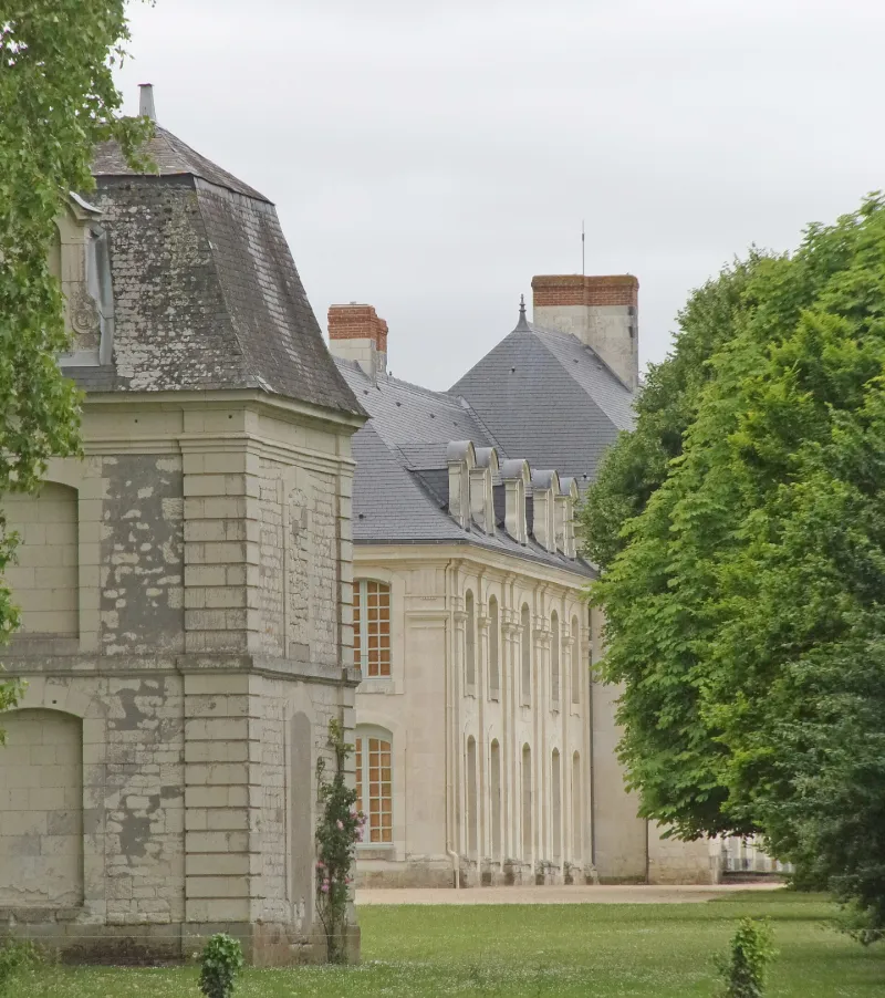
Argenson Castle and Its Outbuildings
No reviews yet
Have you flown here? Share your experience with other pilots.
+ Write the first reviewHistory
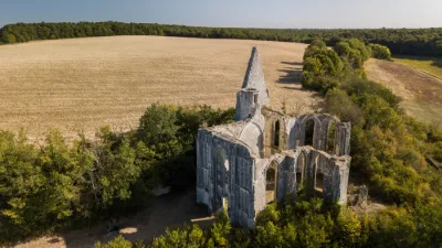
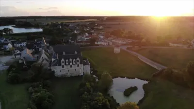
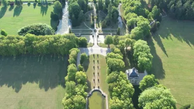
Fief relevant du château de Nouatre. En 1700, le fief fut érigé en châtellenie, puis en marquisat en 1718. En 1667, une église paroissiale fut bâtie à l'emplacement de l'ancienne chapelle seigneuriale. Le château fut construit ou commencé à la même époque, et n'a jamais été terminé. Bâti au nord d'un enclos rectangulaire entouré de murs, l'ensemble comprend une église, un presbytère, un prétoire, deux pavillons, le château et la fuye. L'église est de style classique avec façade couronnée par un fronton. Le transpet était accompagné de deux chapelles dont ne subsiste que celle du nord. En 1678 fut ajoutée la chapelle du calvaire. Le presbytère est situé derrière l'église. Le prétoire se présente comme un petit bâtiment à arcades. Les deux pavillons servaient de logement au personnel et d'écurie. Le château comprend un corps de logis central et une aile le prolongeant au nord, ainsi qu'une aile symétrique au sud et un corps de bâtiment projeté à l'est, jamais construit. La fuye cylindrique date de 1683.
Map and restricted areas
Open in the main mapRestricted zones
Nearby aerodromes
Open aerodromes within 25 km of the spot, heliports included, with their distance and direction from the spot. Near an aerodrome, drone flying is prohibited or height-limited: check the UAS zones map.
| Aerodrome | Type | Distance | Elevation |
|---|---|---|---|
| Tours Le Louroux Airport | Aerodrome | 14 km NE | 126 m |
| Tours Sorigny Airport | Aerodrome | 25 km NE | 91 m |
Aviation weather (METAR and TAF)
No METAR station within 50 km.
Weather and Kp index
Sunrise and sunset
| Day | Dawn | Sunrise | Golden hour | Sunset | Dusk | Day length |
|---|---|---|---|---|---|---|
| Tue 17 Nov | 07:31 | 08:04 | 08:04–08:52 · 16:34–17:21 | 17:21 | 17:54 | 9 h 17 |
| Wed 18 Nov | 07:32 | 08:06 | 08:06–08:53 · 16:32–17:20 | 17:20 | 17:54 | 9 h 14 |
| Thu 19 Nov | 07:34 | 08:07 | 08:07–08:55 · 16:31–17:19 | 17:19 | 17:53 | 9 h 12 |
| Fri 20 Nov | 07:35 | 08:08 | 08:08–08:56 · 16:30–17:18 | 17:18 | 17:52 | 9 h 09 |
| Sat 21 Nov | 07:36 | 08:10 | 08:10–08:58 · 16:29–17:17 | 17:17 | 17:51 | 9 h 07 |
| Sun 22 Nov | 07:37 | 08:11 | 08:11–09:00 · 16:28–17:17 | 17:17 | 17:50 | 9 h 05 |
| Mon 23 Nov | 07:39 | 08:13 | 08:13–09:01 · 16:27–17:16 | 17:16 | 17:50 | 9 h 03 |

Reviews (0)
Log in to review this spot. Log in · Create a free account
No reviews yet. Share yours!