

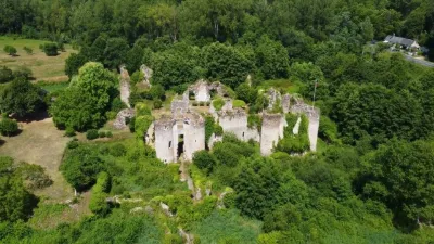
Remains of the Old Grand Launay Castle
No reviews yet
Have you flown here? Share your experience with other pilots.
+ Write the first reviewHistory
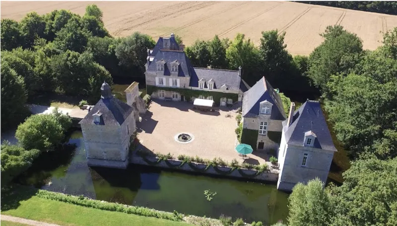
Construit sur un terrain carré entouré de douves, le château comprend le bâtiment d'habitation principal constitué par deux corps de logis. A l'est, se trouve un autre bâtiment d'habitation. L'angle sud-ouest conserve une fuye carrée couverte d'un lanternon. L'angle sud-est est protégé par une tourelle carrée. Une porte fortifiée s'ouvre dans le mur fermant la cour à l'ouest, munie primitivement d'un pont-levis qui a été remplacé par un pont dormant. Une tour de défense disparue occupait l'angle nord-est. Cet édifice est l'une des plus intéressantes gentilhommières fortifiées de la fin du 16e siècle qui subsistent.
Map and restricted areas
Open in the main mapRestricted zones
Nearby aerodromes
Open aerodromes within 25 km of the spot, heliports included, with their distance and direction from the spot. Near an aerodrome, drone flying is prohibited or height-limited: check the UAS zones map.
| Aerodrome | Type | Distance | Elevation |
|---|---|---|---|
| Tours-Val-de-Loire Airport | Airport | 15 km SE | 109 m |
| Trousseau Chu Heliport | Heliport | 21 km SE | 84 m |
Aviation weather (METAR and TAF)
No METAR station within 50 km.
Weather and Kp index
Sunrise and sunset
| Day | Dawn | Sunrise | Golden hour | Sunset | Dusk | Day length |
|---|---|---|---|---|---|---|
| Tue 17 Nov | 07:32 | 08:06 | 08:06–08:54 · 16:32–17:20 | 17:20 | 17:53 | 9 h 14 |
| Wed 18 Nov | 07:33 | 08:07 | 08:07–08:55 · 16:30–17:19 | 17:19 | 17:52 | 9 h 11 |
| Thu 19 Nov | 07:35 | 08:08 | 08:08–08:57 · 16:29–17:18 | 17:18 | 17:52 | 9 h 09 |
| Fri 20 Nov | 07:36 | 08:10 | 08:10–08:59 · 16:28–17:17 | 17:17 | 17:51 | 9 h 06 |
| Sat 21 Nov | 07:37 | 08:11 | 08:11–09:00 · 16:27–17:16 | 17:16 | 17:50 | 9 h 04 |
| Sun 22 Nov | 07:39 | 08:13 | 08:13–09:02 · 16:26–17:15 | 17:15 | 17:49 | 9 h 02 |
| Mon 23 Nov | 07:40 | 08:14 | 08:14–09:03 · 16:25–17:14 | 17:14 | 17:48 | 9 h 00 |

Reviews (0)
Log in to review this spot. Log in · Create a free account
No reviews yet. Share yours!