

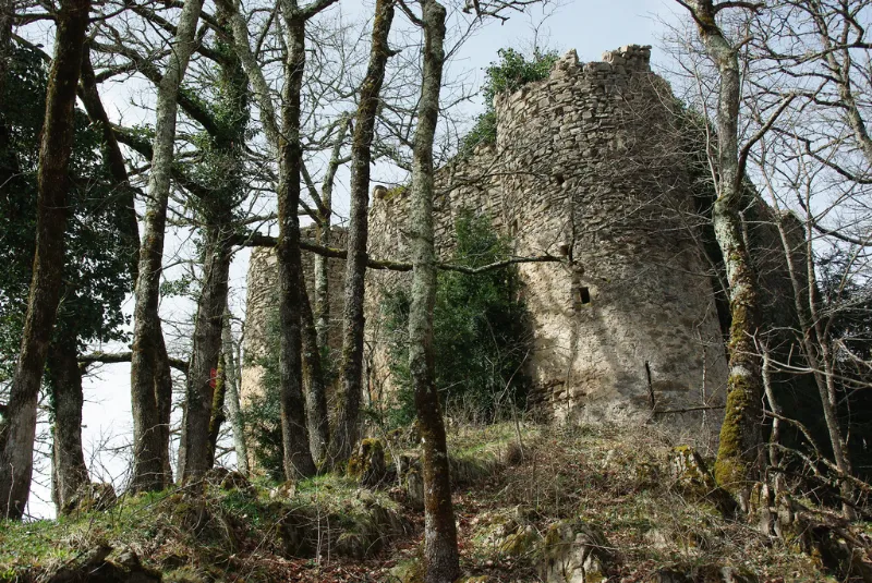
La Garde Castle
No reviews yet
Have you flown here? Share your experience with other pilots.
+ Write the first reviewHistory
Moyen Age Qualité du dispositif défensif (vaste enceinte rectangulaire au milieu de laquelle s'élève un donjon) associé à celui du château de Mirabat. Châteaux bâtis en moellons, déjà en ruines au 16e siècle. Selon la tradition, Charlemagne de passage à Seix lors d'une campagne menée contre les Sarrasins, aurait organisé la défense contre l'ennemi, faisant édifier le château de la Garde et y plaçant une garnison. Cette zone de passage nécessitait des postes de guet et de défense. La forteresse consiste en une vaste enceinte rectangulaire au centre de laquelle s'élève un donjon. La muraille est percée d'une brèche irrégulière au-dessus de laquelle se suspend un mâchicoulis. La façade est-sud-est est flanquée de deux tours d'angle, une ronde, et une en forme de fer à cheval.
Map and restricted areas
Open in the main mapRestricted zones
Nearby aerodromes
Open aerodromes within 25 km of the spot, heliports included, with their distance and direction from the spot. Near an aerodrome, drone flying is prohibited or height-limited: check the UAS zones map.
| Aerodrome | Type | Distance | Elevation |
|---|---|---|---|
| Altisurface de la Plagne-Bouirex | Aerodrome | 6.3 km NW | 1,600 m |
| Altiport d'Ustou | Aerodrome | 6.3 km S | 1,797 m |
| Altisurface d'Aleu | Aerodrome | 9.3 km NE | 1,050 m |
| Aérodrome de Saint-Girons - Antichan | Airport | 21 km NW | 417 m |
Aviation weather (METAR and TAF)
No METAR station within 50 km.
Weather and Kp index
Sunrise and sunset
| Day | Dawn | Sunrise | Golden hour | Sunset | Dusk | Day length |
|---|---|---|---|---|---|---|
| Tue 17 Nov | 07:19 | 07:50 | 07:50–08:33 · 16:48–17:31 | 17:31 | 18:01 | 9 h 40 |
| Wed 18 Nov | 07:20 | 07:51 | 07:51–08:34 · 16:47–17:30 | 17:30 | 18:00 | 9 h 38 |
| Thu 19 Nov | 07:21 | 07:52 | 07:52–08:35 · 16:46–17:29 | 17:29 | 18:00 | 9 h 36 |
| Fri 20 Nov | 07:23 | 07:53 | 07:53–08:37 · 16:45–17:28 | 17:28 | 17:59 | 9 h 34 |
| Sat 21 Nov | 07:24 | 07:55 | 07:55–08:38 · 16:44–17:28 | 17:28 | 17:58 | 9 h 32 |
| Sun 22 Nov | 07:25 | 07:56 | 07:56–08:39 · 16:43–17:27 | 17:27 | 17:58 | 9 h 31 |
| Mon 23 Nov | 07:26 | 07:57 | 07:57–08:41 · 16:42–17:26 | 17:26 | 17:57 | 9 h 29 |
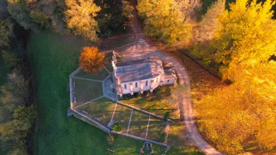


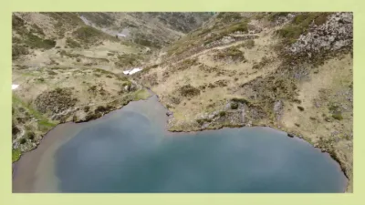
Reviews (0)
Log in to review this spot. Log in · Create a free account
No reviews yet. Share yours!