

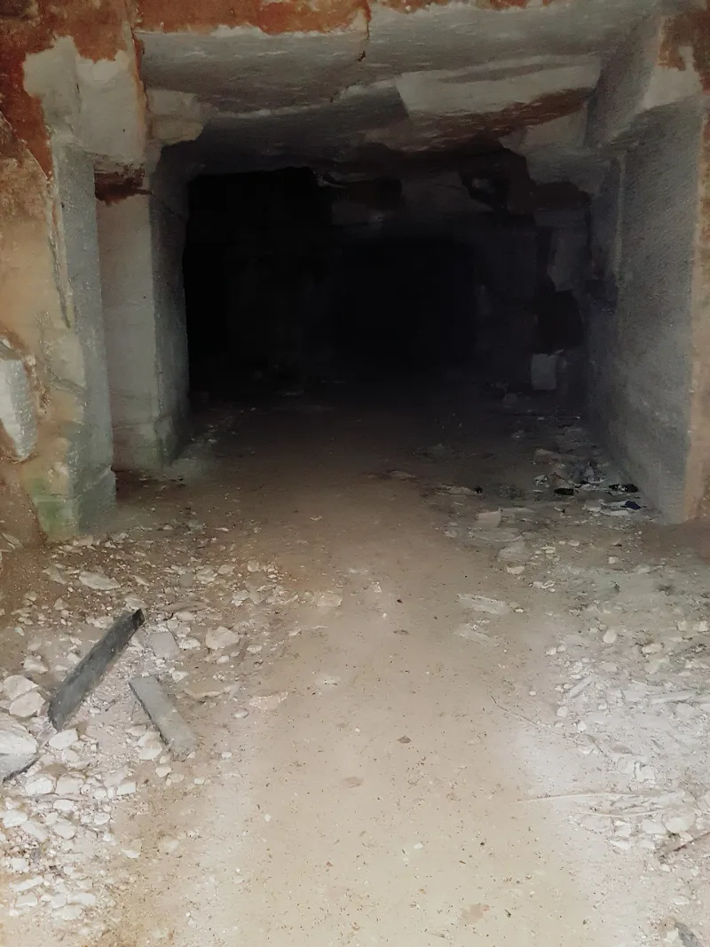
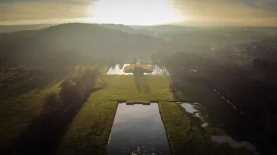
La Creute du Caïd
No reviews yet
Have you flown here? Share your experience with other pilots.
+ Write the first reviewHistory
1er quart 20e siècle Carrière souterraine de pierre (vergelé et banc royal) exploitée depuis le 19e siècle et jusqu'au début des années 1950. De 1914 à 1917, elle fut occupée par les troupes allemandes et, de septembre 1917 à mai 1918, par les Français. Les Allemands l'occupèrent de nouveau de mai à septembre 1918, puis l'armée française la réoccupa définitivement le 29 septembre 1918. La carrière présente treize traces rupestres de la Grande Guerre, dont les huit plus remarquables sont regroupées sur une même paroi. Ces huit sculptures se composent d'un écu suisse portant l'inscription Dieu Patrie, de deux rouleaux de parchemin déployés avec inscriptions, d'un bas-relief représentant les principaux monuments de Paris, d'un crucifix avec les murailles de Jérusalem en arrière-plan, d'une ancre avec rouleau de parchemin déployé, de l'imitation d'un médaillon avec anneau contenant le Sacré-Coeur, de drapeaux français et américains entrecroisés.
Map and restricted areas
Open in the main mapRestricted zones
| Zone | Category | Limits | Conditions |
|---|---|---|---|
| Paris 7 | Zone réglementée | 1529 m above sea level → 2907 m above sea level | Vols interdits sauf lorsque the official document of the zone l'autorise explicitement ou avec l'accord du gestionnaire de la zone lorsqu'il est désigné par the official document of the zone |
| Paris 9 | Zone réglementée | 2138 m above sea level → 3821 m above sea level | Vols interdits sauf lorsque the official document of the zone l'autorise explicitement ou avec l'accord du gestionnaire de la zone lorsqu'il est désigné par the official document of the zone |
| Paris 11 | Zone réglementée | 3053 m above sea level → 6259 m above sea level | Vols interdits sauf lorsque the official document of the zone l'autorise explicitement ou avec l'accord du gestionnaire de la zone lorsqu'il est désigné par the official document of the zone |
Nearby aerodromes
Open aerodromes within 25 km of the spot, heliports included, with their distance and direction from the spot. Near an aerodrome, drone flying is prohibited or height-limited: check the UAS zones map.
| Aerodrome | Type | Distance | Elevation |
|---|---|---|---|
| Centre Hospitalier Heliport | Heliport | 16 km SW | 52 m |
| Base ULM de Ployart | Aerodrome | 17 km NE | 177 m |
| Laon - Chambry Airfield | Aerodrome | 18 km NE | 78 m |
| Aérodrome de Soissons - Courmelles | Aerodrome | 21 km SW | 155 m |
| Base ULM Azur | Aerodrome | 23 km E | 73 m |
Aviation weather (METAR and TAF)
No METAR station within 50 km.
Weather and Kp index
Sunrise and sunset
| Day | Dawn | Sunrise | Golden hour | Sunset | Dusk | Day length |
|---|---|---|---|---|---|---|
| Tue 17 Nov | 07:25 | 08:00 | 08:00–08:51 · 16:11–17:02 | 17:02 | 17:37 | 9 h 01 |
| Wed 18 Nov | 07:26 | 08:02 | 08:02–08:53 · 16:09–17:01 | 17:01 | 17:36 | 8 h 59 |
| Thu 19 Nov | 07:28 | 08:03 | 08:03–08:54 · 16:08–16:59 | 16:59 | 17:35 | 8 h 56 |
| Fri 20 Nov | 07:29 | 08:05 | 08:05–08:56 · 16:07–16:58 | 16:58 | 17:34 | 8 h 53 |
| Sat 21 Nov | 07:31 | 08:06 | 08:06–08:58 · 16:06–16:57 | 16:57 | 17:33 | 8 h 51 |
| Sun 22 Nov | 07:32 | 08:08 | 08:08–09:00 · 16:04–16:56 | 16:56 | 17:32 | 8 h 48 |
| Mon 23 Nov | 07:33 | 08:09 | 08:09–09:01 · 16:03–16:55 | 16:55 | 17:31 | 8 h 46 |
Reviews (0)
Log in to review this spot. Log in · Create a free account
No reviews yet. Share yours!