

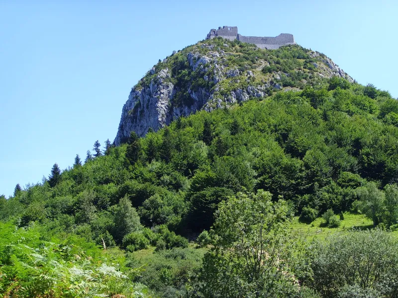
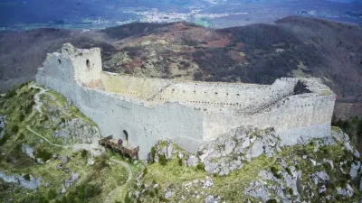
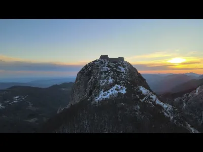
Cathar Castle
No reviews yet
Have you flown here? Share your experience with other pilots.
+ Write the first reviewHistory
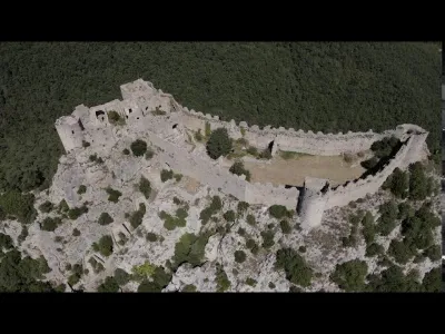
13e siècle Le 16 mars 1244, après le siège du château mené par l'armée royale, plus de deux cents Cathares périssent sur le bûcher, anéantissant la hiérarchie et les structures du catharisme méridional. L'architecture du château permet de conclure que l'édifice a été fortement remanié ou reconstruit à la fin du 13e siècle, passant de l'état de château seigneurial à celui de forteresse royale intégrée à la défense de la frontière d'Aragon. Une garnison y est maintenue jusqu'au 17e siècle. Les fouilles conduites sur le "pog" indiquent que l'ensemble de la montagne a été aménagé au début du 13e siècle, et révèlent des témoignages de l'âge du Bronze final, de la Tène III et du Bas-Empire. Le village se développait autour du château et était protégé par une enceinte. Les maisons présentaient une architecture de pierre et de bois. Des citernes assuraient l'alimentation en eau. Ruelles et escaliers permettaient la circulation. A l'extérieur de l'enceinte, un chemin protégé par un fossé sec et une barbacane isolait le château et la partie principale du village du reste de la montagne.
Map and restricted areas
Open in the main mapRestricted zones
Nearby aerodromes
Open aerodromes within 25 km of the spot, heliports included, with their distance and direction from the spot. Near an aerodrome, drone flying is prohibited or height-limited: check the UAS zones map.
| Aerodrome | Type | Distance | Elevation |
|---|---|---|---|
| Base ULM de Régat | Aerodrome | 13 km N | 409 m |
| Troye d'Ariège ULM | Aerodrome | 16 km N | 420 m |
| Puivert Airfield | Aerodrome | 19 km E | 490 m |
| Centre Hospitalier Heliport | Heliport | 20 km NW | 450 m |
| Centre Hospitalier Intercommunal du Val d'Ariege Heliport | Heliport | 24 km NW | 351 m |
Aviation weather (METAR and TAF)
No METAR station within 50 km.
Weather and Kp index
Sunrise and sunset
| Day | Dawn | Sunrise | Golden hour | Sunset | Dusk | Day length |
|---|---|---|---|---|---|---|
| Tue 17 Nov | 07:17 | 07:47 | 07:47–08:30 · 16:45–17:28 | 17:28 | 17:59 | 9 h 40 |
| Wed 18 Nov | 07:18 | 07:48 | 07:48–08:32 · 16:44–17:27 | 17:27 | 17:58 | 9 h 38 |
| Thu 19 Nov | 07:19 | 07:50 | 07:50–08:33 · 16:43–17:26 | 17:26 | 17:57 | 9 h 36 |
| Fri 20 Nov | 07:20 | 07:51 | 07:51–08:34 · 16:42–17:26 | 17:26 | 17:56 | 9 h 34 |
| Sat 21 Nov | 07:21 | 07:52 | 07:52–08:36 · 16:41–17:25 | 17:25 | 17:56 | 9 h 32 |
| Sun 22 Nov | 07:22 | 07:53 | 07:53–08:37 · 16:41–17:24 | 17:24 | 17:55 | 9 h 30 |
| Mon 23 Nov | 07:24 | 07:55 | 07:55–08:38 · 16:40–17:24 | 17:24 | 17:55 | 9 h 28 |
Reviews (0)
Log in to review this spot. Log in · Create a free account
No reviews yet. Share yours!