

Pomay Castle
No reviews yet
Have you flown here? Share your experience with other pilots.
+ Write the first reviewHistory
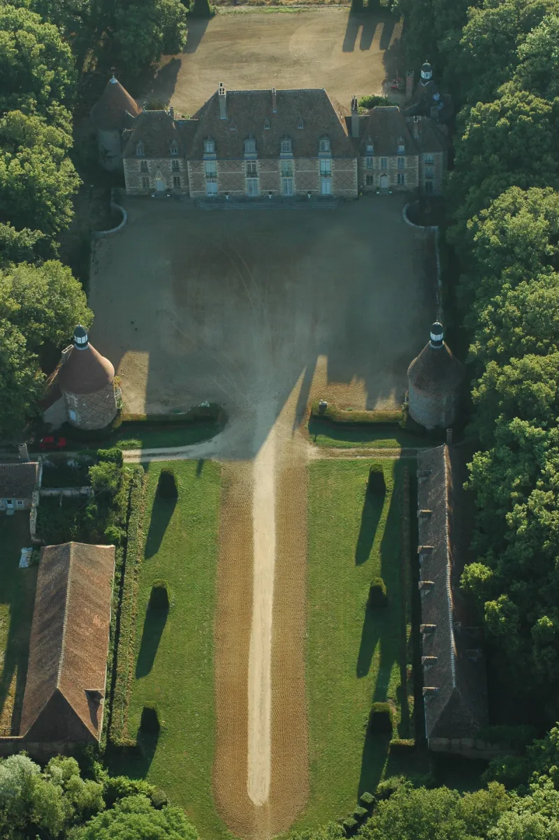
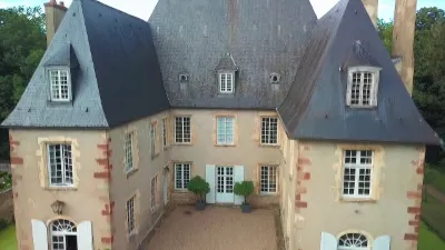
17e siècle Au 15e siècle, Pomay dû être un domaine conquis sur la forêt. Accès à la demeure Louis XIII par une longue avenue dont le portail est fermé par une ferronnerie du 18e. Une première cour est bordée au nord et au sud par les communs. Un large mur bahut la sépare de la cour d'honneur encadrée par deux tours de briques terminées par des campaniles octogonaux. Dans le fond, le château se compose d'un corps central à rez-de-chaussée et premier étage, encadré de deux pavillons.
Map and restricted areas
Open in the main mapRestricted zones
Nearby aerodromes
Open aerodromes within 25 km of the spot, heliports included, with their distance and direction from the spot. Near an aerodrome, drone flying is prohibited or height-limited: check the UAS zones map.
| Aerodrome | Type | Distance | Elevation |
|---|---|---|---|
| Aérodrome de Moulins - Montbeugny | Aerodrome | 4.7 km S | 279 m |
| Centre Hospitalier Heliport | Heliport | 8.7 km W | 209 m |
Aviation weather (METAR and TAF)
LFLV – Vichy-Charmeil Airport VFR
METAR
METAR LFLV 171400Z AUTO 21007KT 140V280 9999 SCT048 SCT056 OVC210 18/10 Q0999
- Wind
- 210°, 13 km/h
- Visibility
- 10 km or more
- Clouds
- Scattered (3-4/8) at 4,800 ft (1460 m) ; Scattered (3-4/8) at 5,600 ft (1710 m) ; Overcast (8/8) at 21,000 ft (6400 m)
- Temperature
- 18 °C, dew point 10 °C
- QNH
- 999 hPa
- Flight category
- VFR: ceiling > 3,000 ft and visibility > 5 mi
TAF
Weather and Kp index
Sunrise and sunset
| Day | Dawn | Sunrise | Golden hour | Sunset | Dusk | Day length |
|---|---|---|---|---|---|---|
| Tue 17 Nov | 07:18 | 07:51 | 07:51–08:38 · 16:24–17:11 | 17:11 | 17:44 | 9 h 20 |
| Wed 18 Nov | 07:20 | 07:53 | 07:53–08:40 · 16:23–17:10 | 17:10 | 17:43 | 9 h 17 |
| Thu 19 Nov | 07:21 | 07:54 | 07:54–08:41 · 16:22–17:09 | 17:09 | 17:42 | 9 h 15 |
| Fri 20 Nov | 07:22 | 07:55 | 07:55–08:43 · 16:21–17:08 | 17:08 | 17:42 | 9 h 13 |
| Sat 21 Nov | 07:23 | 07:57 | 07:57–08:44 · 16:20–17:07 | 17:07 | 17:41 | 9 h 10 |
| Sun 22 Nov | 07:25 | 07:58 | 07:58–08:46 · 16:19–17:07 | 17:07 | 17:40 | 9 h 08 |
| Mon 23 Nov | 07:26 | 07:59 | 07:59–08:47 · 16:18–17:06 | 17:06 | 17:39 | 9 h 06 |

Reviews (0)
Log in to review this spot. Log in · Create a free account
No reviews yet. Share yours!