

Archaeological Site of the Cloup d'Aural Phosphate Mine
No reviews yet
Have you flown here? Share your experience with other pilots.
+ Write the first reviewHistory
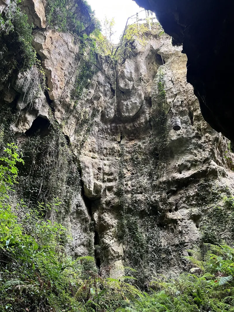
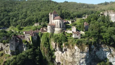
Dans les trente dernières années du 19e siècle, l'exploitation du phosphate naturellement stocké sous forme d'une apatite dans le paléokarst quercynois est devenue célèbre sous l'appelleation "phosphorite du Quercy". Cette renommée internationale est due à la présence de nombreux fossiles vertébrés vivant à l'ère tertiaire, entre la fin de l'éocène et la fin de l'oligocène (15 millions d'années) et qui ont, pour certains d'entre eux, servi de référence internationale pour la séquence standard des faunes européennes. La phosphatière du Cloup d'Aural, localisée au centre d'un réseau de poches à phosphate du Causse de Limogne, bénéficie d'une état de conservation qui permet de reconstituer la logique d'exploitation de ces sédiments. De grande taille (170 m. de long pour une profondeur d'une vingtaine de mètres) , elle présente une diversite importante de témoins d'exploitation et des bâtis extérieurs en assez bon état.
Map and restricted areas
Open in the main mapRestricted zones
Nearby aerodromes
Open aerodromes within 25 km of the spot, heliports included, with their distance and direction from the spot. Near an aerodrome, drone flying is prohibited or height-limited: check the UAS zones map.
| Aerodrome | Type | Distance | Elevation |
|---|---|---|---|
| Aérodrome de Cahors-Lalbenque | Airport | 17 km W | 278 m |
| Cabrerets ULM | Aerodrome | 20 km NW | 359 m |
Aviation weather (METAR and TAF)
No METAR station within 50 km.
Weather and Kp index
Sunrise and sunset
| Day | Dawn | Sunrise | Golden hour | Sunset | Dusk | Day length |
|---|---|---|---|---|---|---|
| Tue 17 Nov | 07:20 | 07:52 | 07:52–08:36 · 16:40–17:25 | 17:25 | 17:56 | 9 h 32 |
| Wed 18 Nov | 07:22 | 07:53 | 07:53–08:38 · 16:39–17:24 | 17:24 | 17:55 | 9 h 30 |
| Thu 19 Nov | 07:23 | 07:54 | 07:54–08:39 · 16:38–17:23 | 17:23 | 17:54 | 9 h 28 |
| Fri 20 Nov | 07:24 | 07:56 | 07:56–08:41 · 16:37–17:22 | 17:22 | 17:54 | 9 h 26 |
| Sat 21 Nov | 07:25 | 07:57 | 07:57–08:42 · 16:36–17:21 | 17:21 | 17:53 | 9 h 24 |
| Sun 22 Nov | 07:26 | 07:58 | 07:58–08:43 · 16:35–17:21 | 17:21 | 17:52 | 9 h 22 |
| Mon 23 Nov | 07:28 | 07:59 | 07:59–08:45 · 16:34–17:20 | 17:20 | 17:52 | 9 h 20 |
Reviews (0)
Log in to review this spot. Log in · Create a free account
No reviews yet. Share yours!