

Le pico Ruivo

No reviews yet
Have you flown here? Share your experience with other pilots.
+ Write the first reviewDescription
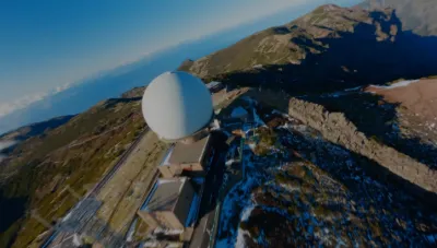
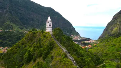
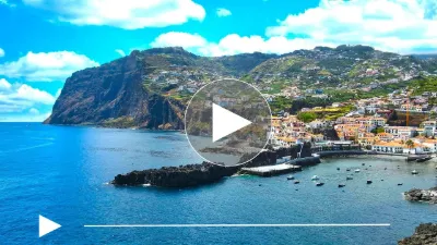
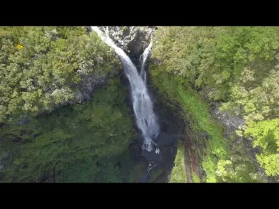
Pico Ruivo (Madeira Island ) After three hours of walking, it is a highlight of Madeira. Pico Ruivo rises to 1,861 metres and is located in the centre of the island. You can also get there by a hiking trail (Levadas ) that starts at Pico de Arieiro, but it takes about 4 to 6 hours of walking. Do not hesitate to go there in the early morning to avoid the clouds that tend to gather on the ridges in the afternoon. From the top of Pico Ruivo, the view extends to the bay of Funchal on a clear day. (video made with a mavic 2 pro)
Map and restricted areas
Open in the main mapAviation weather (METAR and TAF)
LPMA – Madeira International Airport Cristiano Ronaldo VFR
METAR
METAR LPMA 210630Z 24007KT 9999 FEW015 20/16 Q1017
- Wind
- 240°, 13 km/h
- Visibility
- 10 km or more
- Clouds
- Few (1-2/8) at 1,500 ft (460 m)
- Temperature
- 20 °C, dew point 16 °C
- QNH
- 1017 hPa
- Flight category
- VFR: ceiling > 3,000 ft and visibility > 5 mi
TAF
TAF LPMA 210510Z 2106/2206 22012KT 9999 SCT015 PROB40 TEMPO 2108/2118 6000 RA SCT008 BKN013 FEW018CB BECMG 2112/2114 VRB05KT BECMG 2115/2117 36010KT
| Period (local time) | Change | Wind | Visibility | Weather | Clouds |
|---|---|---|---|---|---|
| 21/11 06:00 → 21/11 12:00 | Initial conditions | 220°, 22 km/h | 10 km or more | Scattered (3-4/8) at 1,500 ft (460 m) | |
| 21/11 08:00 → 21/11 18:00 | Temporarily, probability 40% | 6 km | Rain | Scattered (3-4/8) at 800 ft (240 m) ; Broken (5-7/8) at 1,300 ft (400 m) ; Few (1-2/8) at 1,800 ft (550 m) (cumulonimbus) | |
| 21/11 12:00 → 21/11 15:00 | Becoming | Variable, 9 km/h | 10 km or more | Scattered (3-4/8) at 1,500 ft (460 m) | |
| 21/11 15:00 → 22/11 06:00 | Becoming | 360°, 19 km/h | 10 km or more | Scattered (3-4/8) at 1,500 ft (460 m) |
Weather and Kp index
Sunrise and sunset
| Day | Dawn | Sunrise | Golden hour | Sunset | Dusk | Day length |
|---|---|---|---|---|---|---|
| Sat 21 Nov | 07:17 | 07:43 | 07:43–08:20 · 17:28–18:04 | 18:04 | 18:30 | 10 h 20 |
| Sun 22 Nov | 07:18 | 07:44 | 07:44–08:21 · 17:27–18:04 | 18:04 | 18:30 | 10 h 19 |
| Mon 23 Nov | 07:19 | 07:45 | 07:45–08:22 · 17:27–18:03 | 18:03 | 18:30 | 10 h 18 |
| Tue 24 Nov | 07:20 | 07:46 | 07:46–08:23 · 17:26–18:03 | 18:03 | 18:29 | 10 h 16 |
| Wed 25 Nov | 07:20 | 07:47 | 07:47–08:23 · 17:26–18:03 | 18:03 | 18:29 | 10 h 15 |
| Thu 26 Nov | 07:21 | 07:48 | 07:48–08:24 · 17:26–18:02 | 18:02 | 18:29 | 10 h 14 |
| Fri 27 Nov | 07:22 | 07:49 | 07:49–08:25 · 17:25–18:02 | 18:02 | 18:29 | 10 h 13 |


Reviews
Log in to review this spot. Log in · Create a free account
No reviews yet. Share yours!