

Water
Cap d'Antibes
1 pilot review
“Bonjour, je souhaiterai savoir si ce spot est toujours valable. En regardant la carte OACI…” — Atuyu, 6 years ago
Read the reviews + Write my reviewDescription
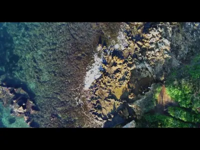
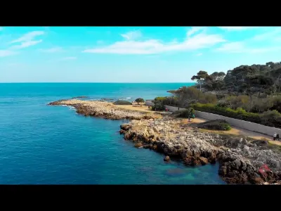
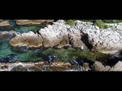
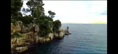
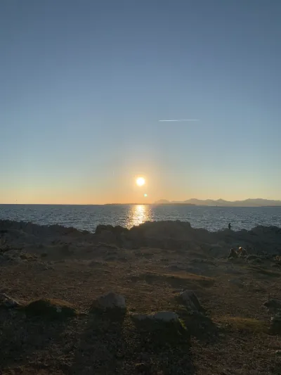
Arriving directly by car or after a short walk you can reach the Cap d'Antibes where the waters are magnificent.
Map and restricted areas
Open in the main mapNearby aerodromes
Open aerodromes within 25 km of the spot, heliports included, with their distance and direction from the spot. Near an aerodrome, drone flying is prohibited or height-limited: check the UAS zones map.
| Aerodrome | Type | Distance | Elevation | Difference |
|---|---|---|---|---|
| Base Hydro-ULM Juan Les Pins | Seaplane base | 3.4 km W | 0 m | same altitude as the spot |
| Port Vauban Heliport | Heliport | 3.7 km N | 7 m | spot 6 m lower |
| Croisette Heliport | Heliport | 8.7 km W | 0 m | same altitude as the spot |
| Quai Du Large Heliport | Heliport | 10 km W | 3 m | same altitude as the spot |
| Sophia Antépolis Heliport | Heliport | 12 km NW | 235 m | spot 234 m lower |
Aviation weather (METAR and TAF)
LFMN – Nice-Côte d'Azur Airport VFR
METAR
METAR LFMN 211030Z 05005KT CAVOK 17/09 Q1016 NOSIG
- Wind
- 050°, 9 km/h
- Visibility
- 10 km or more
- Clouds
- –
- Temperature
- 17 °C, dew point 9 °C
- QNH
- 1016 hPa
- Flight category
- VFR: ceiling > 3,000 ft and visibility > 5 mi
TAF
TAF LFMN 210800Z 2109/2215 VRB02KT CAVOK PROB40 2113/2121 25010KT BECMG 2121/2123 34010KT TEMPO 2123/2210 4000 RA BKN014 SCT030TCU BECMG 2210/2214 25018G30KT
| Period (local time) | Change | Wind | Visibility | Weather | Clouds |
|---|---|---|---|---|---|
| 21/11 10:00 → 21/11 22:00 | Initial conditions | Variable, 4 km/h | 10 km or more | No significant weather | No significant cloud |
| 21/11 14:00 → 21/11 22:00 | probability 40% | 250°, 19 km/h | |||
| 21/11 22:00 → 22/11 11:00 | Becoming | 340°, 19 km/h | 10 km or more | No significant weather | No significant cloud |
| 22/11 00:00 → 22/11 11:00 | Temporarily | 4.0 km | Rain | Broken (5-7/8) at 1,400 ft (430 m) ; Scattered (3-4/8) at 3,000 ft (910 m) (towering cumulus) | |
| 22/11 11:00 → 22/11 16:00 | Becoming | 250°, 33 km/h, gusts 56 km/h | 10 km or more | No significant weather | No significant cloud |
Weather and Kp index
Sunrise and sunset
| Day | Dawn | Sunrise | Golden hour | Sunset | Dusk | Day length |
|---|---|---|---|---|---|---|
| Sat 21 Nov | 07:02 | 07:33 | 07:33–08:17 · 16:18–17:02 | 17:02 | 17:33 | 9 h 28 |
| Sun 22 Nov | 07:03 | 07:34 | 07:34–08:18 · 16:17–17:01 | 17:01 | 17:32 | 9 h 26 |
| Mon 23 Nov | 07:04 | 07:35 | 07:35–08:20 · 16:16–17:00 | 17:00 | 17:32 | 9 h 25 |
| Tue 24 Nov | 07:05 | 07:36 | 07:36–08:21 · 16:15–17:00 | 17:00 | 17:31 | 9 h 23 |
| Wed 25 Nov | 07:06 | 07:38 | 07:38–08:22 · 16:14–16:59 | 16:59 | 17:31 | 9 h 21 |
| Thu 26 Nov | 07:07 | 07:39 | 07:39–08:24 · 16:14–16:59 | 16:59 | 17:30 | 9 h 19 |
| Fri 27 Nov | 07:08 | 07:40 | 07:40–08:25 · 16:13–16:58 | 16:58 | 17:30 | 9 h 17 |


Reviews
Log in to review this spot. Log in · Create a free account
Atuyu
Bonjour, je souhaiterai savoir si ce spot est toujours valable. En regardant la carte OACI que j’essai de déchiffrer,jai l’impression que le spot fait parti de la CTR. De plus j’ai aussi l’impression que la ctr et tma1 se confondent .