Drone spots: Alpes-Maritimes (06)
333 spots · most viewed first · page 1 of 7
| Photo | Map | Spot | Type | Max height | Access | Views |
|---|---|---|---|---|---|---|
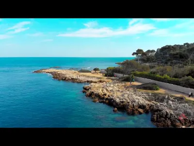
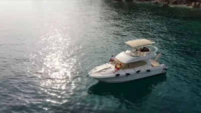
| Antibes | Water | 50 m max | On foot < 1,000 m | 3,201 | ||
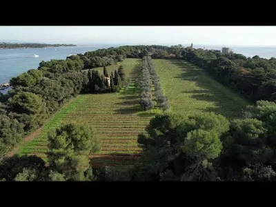
| Îles de Lérins - Île Sainte-Marguerite & Île Saint-Honorat | Water | 50 m max | On foot < 1,000 m | 2,356 | ||
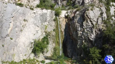
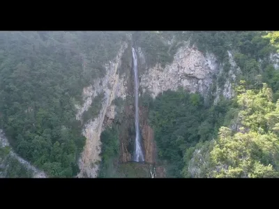
| The Borrigo waterfall | Water | 120 m max | On foot < 1,000 m | 1,929 | ||
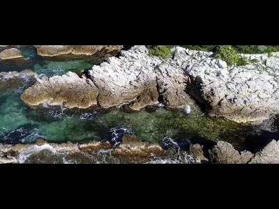
| Cap d'Antibes | Water | 50 m max | On foot < 1,000 m | 1,752 | ||
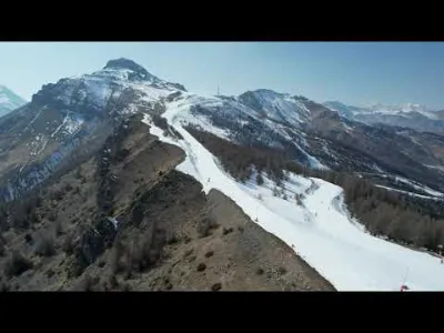
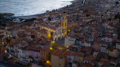
| Menton | Mountain | 120 m max | On foot > 1,000 m | 1,681 | ||
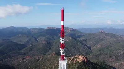
| Haut Montet Radar | Mountain | 120 m max | On foot > 1,000 m | 1,524 | ||
| Fort de la Revère, Èze | Mountain | 50 m max | On foot < 1,000 m | 1,473 | ||
| Saint-Jean-Cap-Ferrat | Water | 50 m max | On foot < 1,000 m | 1,458 | ||
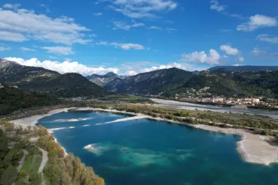
| Lac du BROC | Water | 120 m max | Access not specified | 1,403 | ||
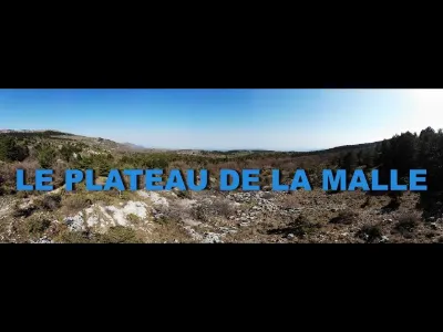
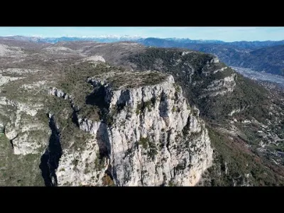
| PLATEAU DE LA MALLE | Mountain | 120 m max | Direct access by car | 1,384 | ||
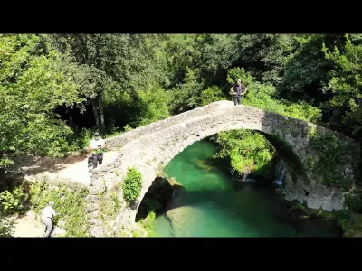
| The Bridge of the Tanks | Heritage | 50 m max | On foot > 1,000 m | 1,146 | ||
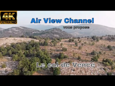
| The Col de Vence | Mountain | 120 m max | On foot < 1,000 m | 972 | ||
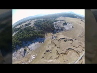
| The plain of caussols and the embuc de caussols | Unusual | 30 m max | Direct access by car | 815 | ||
| Mimosa to the Grand Duke / Mandelieu la Napoule | Mountain | 30 m max | On foot < 1,000 m | 789 | ||
| Col du Blainon - Auron | Mountain | 120 m max | On foot > 1,000 m | 732 | ||
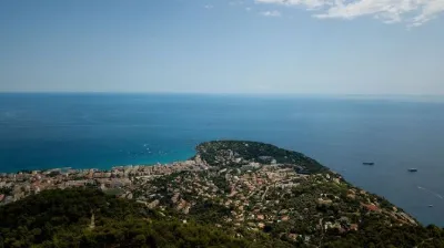
| Roquebrune Cap Martin | Water | 120 m max | On foot < 1,000 m | 704 | ||
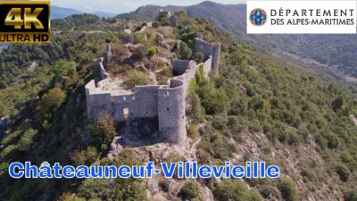
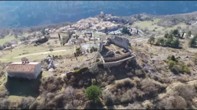
| The ruins of Châteauneuf Villevieille | Heritage | 120 m max | On foot > 1,000 m | 694 | ||
| Baou de la Gaude (796 m) & Baou de Saint-Jeannet (802 m) | Mountain | 120 m max | On foot > 1,000 m | 652 | ||
| Esterel Massif | Mountain | 30 m max | On foot < 1,000 m | 651 | ||
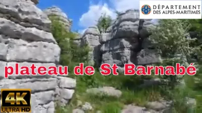
| The Saint Barnabé plateau | Unusual | 120 m max | Direct access by car | 647 | ||
| Menton | Water | 120 m max | On foot < 1,000 m | 643 | ||
| Petites gorges du loup - La colle sur Loup | Water | 50 m max | On foot < 1,000 m | 624 | ||
| Mount Bastide | Mountain | 50 m max | On foot < 1,000 m | 556 | ||
| Coast of the Esterel Massif | Water | 30 m max | Direct access by car | 539 | ||
| Cote d'Azur cardigan | Unusual | 120 m max | On foot < 1,000 m | 494 | ||
| THE TOP OF THE PITCHER | Mountain | 120 m max | On foot < 1,000 m | 491 | ||
| FORT CENTRAL DU COL DE TENDE | Heritage | 120 m max | Direct access by car | 485 | ||
| Cherry bridge - Gilette | Water | 120 m max | On foot > 1,000 m | 485 | ||
| Cap d'Antibes | Water | 50 m max | On foot < 1,000 m | 462 | ||
| Chateauneuf-villevieille | Heritage | 120 m max | On foot > 1,000 m | 462 | ||
| The ruins of ASPREMONT | Heritage | 120 m max | On foot < 1,000 m | 460 | ||
| Cavillore Plateau | Mountain | 120 m max | On foot > 1,000 m | 454 | ||
| The Pré du Lac ADRET | Mountain | 60 m max | On foot > 1,000 m | 444 | ||
| Mount Bastide | Mountain | 50 m max | On foot < 1,000 m | 438 | ||
| The gorges of the Cagne - Saint Jeannet | Water | 120 m max | On foot < 1,000 m | 438 | ||
| Gréolieres, and the ruined tops | Heritage | 50 m max | Direct access by car | 431 | ||
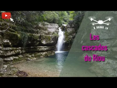
| The riourun back to the past | Heritage | 120 m max | On foot > 1,000 m | 428 | ||
| Castellaras de la malle - Saint vallier de thiey | Heritage | 120 m max | On foot > 1,000 m | 425 | ||
| Rappalin | Mountain | 120 m max | On foot < 1,000 m | 422 | ||
| High Bald Trail | Mountain | 120 m max | On foot < 1,000 m | 422 | ||
| Cascade of Vegay Aiglun | Mountain | 50 m max | On foot > 1,000 m | 419 | ||
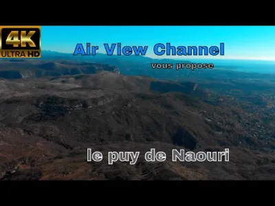
| Le puy de Naouri | Mountain | 120 m max | On foot > 1,000 m | 416 | ||
| Roquebrune Cap Martin | Water | 120 m max | On foot < 1,000 m | 399 | ||
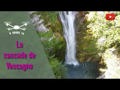
| Cascade de Vescagne | Water | 120 m max | On foot < 1,000 m | 397 | ||
| The Madone D'Utelle | Mountain | 120 m max | On foot < 1,000 m | 396 | ||
| the gorges of daluis | Mountain | 120 m max | On foot < 1,000 m | 395 | ||
| Plain of CAILLE | Unusual | 50 m max | Direct access by car | 386 | ||
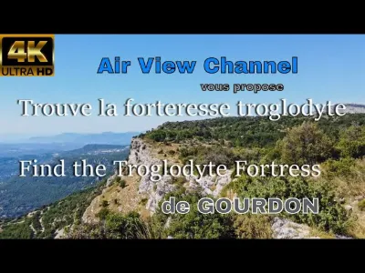
| The troglodyte fortress of Gourdon | Unusual | 120 m max | On foot < 1,000 m | 385 |