

Castles of Roussy-Comté and Roussy-Seigneurie
No reviews yet
Have you flown here? Share your experience with other pilots.
+ Write the first reviewDescription
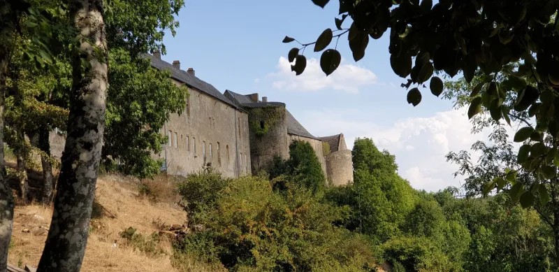
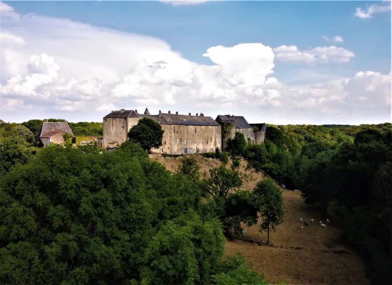
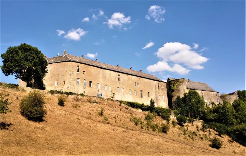
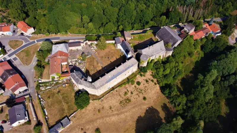
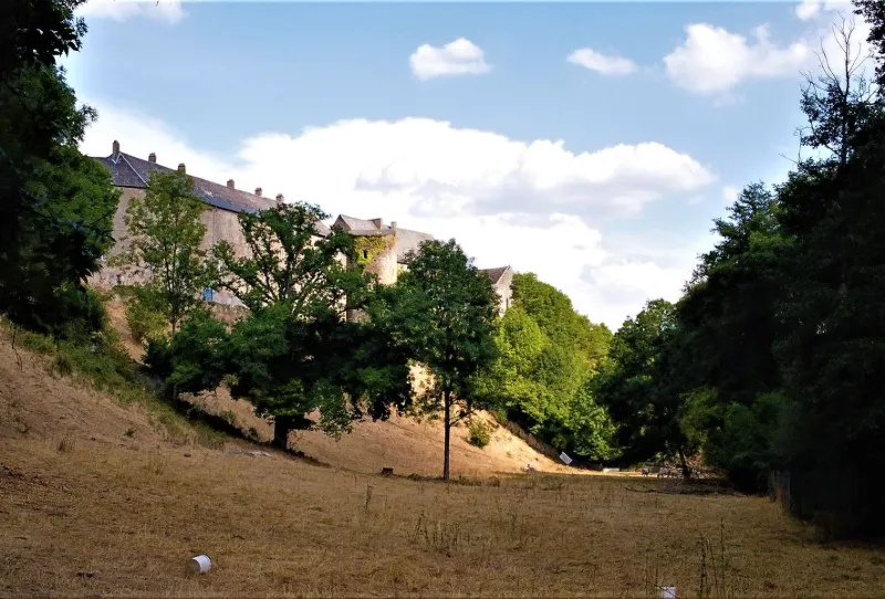
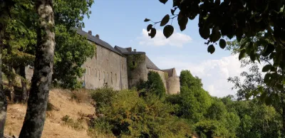
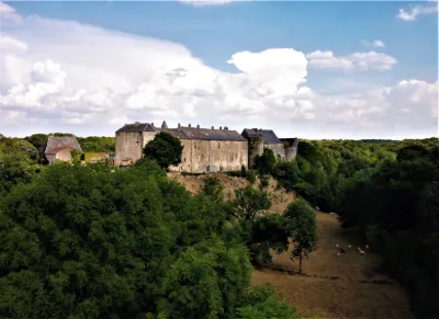
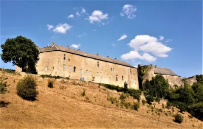
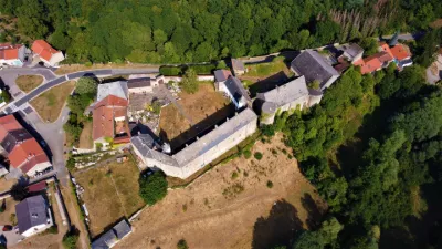
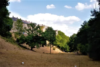
This site offers the possibility to fly near two castles classified as historical monuments from a single take-off area. The two castles are contiguous as seen from the stream below in the South-West. To the right, further east is the original fortified castle where the first levels of the square keep and the round towers of the enclosure can still be seen. At the same time a lookout post, stronghold of the vassals of the Dukes of Luxembourg and seigneurial residence, it was probably built before 1131. This part is called Roussy-Seigneurie. The seigniory of Roussy was later elevated to County, from the 16th century and until the 18th century the castle of Roussy-Comté was added to the first. One can see typical buildings of the Lorraine Renaissance recently restored with their arches of the late seigneurial dwelling, the old stables and outbuildings. The singular history of the place is expressed by three U-shaped buildings, on a trapezoidal plan marrying a spur dominating several valleys. From west to east, one can thus distinguish the ceremonial courtyard and the more recent stables, the farmyard and the fortified enclosure, then the high courtyard that ends the keep. The ramparts forming the surrounding wall are still visible on a part of the village which shelters beautiful facades of Lorraine farms.
The take-off site is located in the Altbach valley, between the foliage and it will take some dexterity to take off and land, while choosing a clear area in case of RTH. Flight altitude limited to 150 m. Attention a zone limited to 100m is more to the East. No interference noted on the day of the flight, but beware the trees can mask the signal. The NFZ corresponds of course to inhabited areas, so be careful not to get too close to the town or fly over castles.
Have a good flight!
Map and restricted areas
Open in the main mapNearby aerodromes
Open aerodromes within 25 km of the spot, heliports included, with their distance and direction from the spot. Near an aerodrome, drone flying is prohibited or height-limited: check the UAS zones map.
| Aerodrome | Type | Distance | Elevation | Difference |
|---|---|---|---|---|
| Centre Hospitalier Emile Mayrisch Heliport | Heliport | 16 km W | 296 m | spot 95 m lower |
| Clinique Ste-Thérèse heliport | Heliport | 17 km N | 305 m | spot 104 m lower |
| Luxembourg-Findel International Airport | Major airport | 19 km N | 376 m | spot 175 m lower |
| Centre Hospitalier de Luxembourg Helipad | Heliport | 20 km N | 329 m | spot 128 m lower |
| Hôpital Kirchberg heliport | Heliport | 20 km N | 372 m | spot 171 m lower |
Aviation weather (METAR and TAF)
ELLX – Luxembourg-Findel International Airport VFR
METAR
METAR ELLX 210950Z 16003KT 090V210 CAVOK 04/02 Q1019 NOSIG
- Wind
- 160°, 6 km/h
- Visibility
- 10 km or more
- Clouds
- –
- Temperature
- 4 °C, dew point 2 °C
- QNH
- 1019 hPa
- Flight category
- VFR: ceiling > 3,000 ft and visibility > 5 mi
TAF
TAF ELLX 210500Z 2106/2212 20005KT 9999 FEW045
| Period (local time) | Change | Wind | Visibility | Weather | Clouds |
|---|---|---|---|---|---|
| 21/11 07:00 → 22/11 13:00 | Initial conditions | 200°, 9 km/h | 10 km or more | Few (1-2/8) at 4,500 ft (1370 m) |
Weather and Kp index
Sunrise and sunset
| Day | Dawn | Sunrise | Golden hour | Sunset | Dusk | Day length |
|---|---|---|---|---|---|---|
| Sat 21 Nov | 07:20 | 07:55 | 07:55–08:47 · 15:55–16:47 | 16:47 | 17:22 | 8 h 51 |
| Sun 22 Nov | 07:21 | 07:57 | 07:57–08:49 · 15:54–16:46 | 16:46 | 17:21 | 8 h 48 |
| Mon 23 Nov | 07:23 | 07:58 | 07:58–08:51 · 15:52–16:45 | 16:45 | 17:21 | 8 h 46 |
| Tue 24 Nov | 07:24 | 08:00 | 08:00–08:53 · 15:51–16:44 | 16:44 | 17:20 | 8 h 43 |
| Wed 25 Nov | 07:25 | 08:01 | 08:01–08:54 · 15:50–16:43 | 16:43 | 17:19 | 8 h 41 |
| Thu 26 Nov | 07:27 | 08:03 | 08:03–08:56 · 15:49–16:42 | 16:42 | 17:18 | 8 h 39 |
| Fri 27 Nov | 07:28 | 08:04 | 08:04–08:58 · 15:48–16:41 | 16:41 | 17:18 | 8 h 37 |
Nearby on Wikipedia
Nearby spots
 Unusual
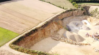
Haute-Parthe - Career
 Heritage
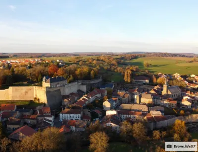
Rodemack
 Heritage
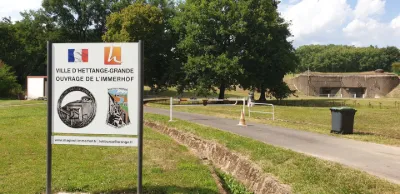
Hettange-Grande - Maginot de l'immerhof structure
 Water
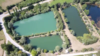
Cattenom - Sandpits of Sentzig
 Heritage
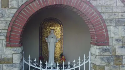
The statue of Our Lady of Beauraing, the Saint Maurice church of Kanfen, at the place called "Keybourg", in Moselle 57
 Heritage
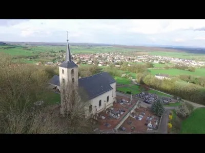
Kanfen and Surroundings
Reviews
Log in to review this spot. Log in · Create a free account
No reviews yet. Share yours!