

The boissets
No reviews yet
Have you flown here? Share your experience with other pilots.
+ Write the first reviewDescription
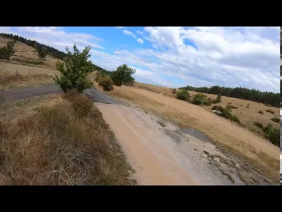
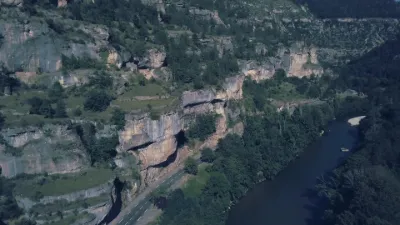
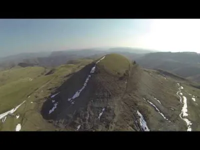
On the edge of the Causse de Sauveterre, a magnificent site overlooks the Gorges du Tarn. It is there that the departmental domain of Boissets is located, on the commune of Sainte-Enimie, at 975 m of altitude.
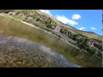
It is a hamlet representative of the Caussenarde rural architecture (vaults, limestone slate roofs...), surrounded by 300 hectares of moorland and forests. Restored and developed by the Departmental Council of Lozère, the Boissets have become today an exceptional place.
A bit of history It is known, thanks to the map of CASSINI, that the hamlet of Les Boissets already existed in the 18th century, but the framing of several windows suggests that some buildings were built as early as the 15th century.
On the causse, the habitat is scattered in farms and isolated hamlets. The hamlet of Les Boissets has been established on the edge of a busy road, which descends from the causse towards Sainte-Enimie and the Tarn.
The hamlet of Les Boissets is composed of six buildings: dwelling house, barns, sheepfolds, grain storage, bread oven. In the centre of the hamlet, the beautiful main dwelling house comprises three stories, like all the Caussenarde farms.
Map and restricted areas
Open in the main mapNearby aerodromes
Open aerodromes within 25 km of the spot, heliports included, with their distance and direction from the spot. Near an aerodrome, drone flying is prohibited or height-limited: check the UAS zones map.
| Aerodrome | Type | Distance | Elevation | Difference |
|---|---|---|---|---|
| Florac Ste Enimie Airfield | Aerodrome | 10 km S | 931 m | spot 12 m lower |
| Mende-Brenoux Airfield | Airport | 16 km NE | 1,025 m | spot 106 m lower |
| Base ULM des Bories | Aerodrome | 20 km NW | 698 m | spot 221 m higher |
Aviation weather (METAR and TAF)
No METAR station within 50 km.
Weather and Kp index
Sunrise and sunset
| Day | Dawn | Sunrise | Golden hour | Sunset | Dusk | Day length |
|---|---|---|---|---|---|---|
| Sat 21 Nov | 07:18 | 07:50 | 07:50–08:35 · 16:29–17:14 | 17:14 | 17:46 | 9 h 24 |
| Sun 22 Nov | 07:19 | 07:51 | 07:51–08:37 · 16:28–17:13 | 17:13 | 17:45 | 9 h 22 |
| Mon 23 Nov | 07:21 | 07:53 | 07:53–08:38 · 16:27–17:13 | 17:13 | 17:45 | 9 h 20 |
| Tue 24 Nov | 07:22 | 07:54 | 07:54–08:39 · 16:27–17:12 | 17:12 | 17:44 | 9 h 18 |
| Wed 25 Nov | 07:23 | 07:55 | 07:55–08:41 · 16:26–17:11 | 17:11 | 17:44 | 9 h 16 |
| Thu 26 Nov | 07:24 | 07:56 | 07:56–08:42 · 16:25–17:11 | 17:11 | 17:43 | 9 h 14 |
| Fri 27 Nov | 07:25 | 07:57 | 07:57–08:43 · 16:24–17:10 | 17:10 | 17:43 | 9 h 12 |
Reviews
Log in to review this spot. Log in · Create a free account
No reviews yet. Share yours!