

Ottange - Croix Saint-Marc plateau wind farm





No reviews yet
Have you flown here? Share your experience with other pilots.
+ Write the first reviewDescription
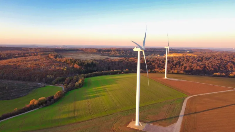
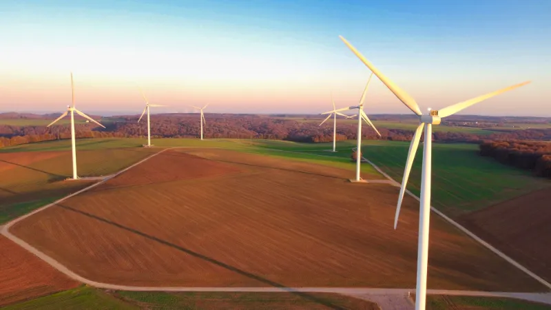
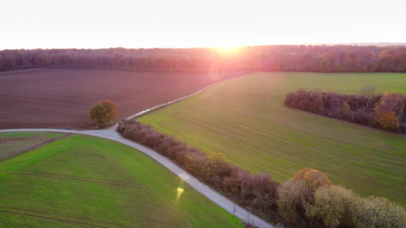
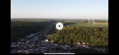
This time, I'm taking you flying among wind turbines. The Croix Saint-Marc plateau overlooks Ottange. The nearest house is 750 m away, so you can fly freely in an area covering nearly 150 ha. The 24 M€ Ostwind wind farm project was initiated in 2010 with the communauté de communes du Pays Haut Val d'Alzette and private investors. Inaugurated in July 2019, it consists of 8 Vestas V100/2000 wind turbines whose nacelles are perched at 95 m, with a total height including the blades of 145 m. The farm produces up to 16 MW, enough to power the equivalent of 20,000 residents. To avoid turbulence between the turbines, the masts are placed at a minimum distance of 6 times the rotor diameter, i.e. 600 m. This leaves plenty of room to maneuver for shots between the towers and the blades, even in moderate wind. From the plateau, only the surrounding woods are visible, but to the north, hidden among them, you can make out the "Intermoselle" quarry of Ottange, which extracts Audun coral limestone, and to the southeast on the horizon, like a kind of wink, the clouds generated by the Cattenom nuclear power plant, only 25 km away.
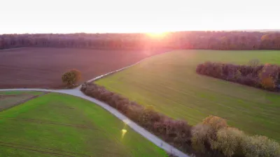
Since the Croix Saint-Marc plateau stands out prominently, during the golden hour the white wind turbines take on blazing colors, making for interesting photos and videos.
Altitude is limited to 50 or 150 m depending on the flight zone, which is bound to be windy. Even so, no major turbulence was noticed, even in the wake generated by the rotor, but you should of course keep a safety distance of a good fifty meters at the very least to avoid exceeding the drone's flight capabilities. No interference was noticed on the day of the flight. You will be a few kilometers from the takeoff and landing zones of Villerupt aerodrome and Luxembourg airport. Even though you will necessarily be flying below the maximum height of the wind turbines, you must still comply with the regulations, so land as soon as any aircraft approaches.
Happy flying!
Map and restricted areas
Open in the main mapNearby aerodromes
Open aerodromes within 25 km of the spot, heliports included, with their distance and direction from the spot. Near an aerodrome, drone flying is prohibited or height-limited: check the UAS zones map.
| Aerodrome | Type | Distance | Elevation | Difference |
|---|---|---|---|---|
| Centre Hospitalier Emile Mayrisch Heliport | Heliport | 7.3 km N | 296 m | spot 110 m higher |
| Villerupt Aerodrome | Aerodrome | 8.5 km W | 396 m | spot 10 m higher |
| Etablissement Public Heliport | Heliport | 19 km NW | 267 m | spot 139 m higher |
| Clinique Ste-Thérèse heliport | Heliport | 21 km NE | 305 m | spot 101 m higher |
| Centre Hospitalier de Luxembourg Helipad | Heliport | 22 km N | 329 m | spot 77 m higher |
Aviation weather (METAR and TAF)
ELLX – Luxembourg-Findel International Airport VFR
METAR
METAR ELLX 210620Z 00000KT CAVOK 00/M00 Q1018 NOSIG
- Wind
- Calm
- Visibility
- 10 km or more
- Clouds
- –
- Temperature
- 0 °C, dew point 0 °C
- QNH
- 1018 hPa
- Flight category
- VFR: ceiling > 3,000 ft and visibility > 5 mi
TAF
TAF ELLX 210500Z 2106/2212 20005KT 9999 FEW045
| Period (local time) | Change | Wind | Visibility | Weather | Clouds |
|---|---|---|---|---|---|
| 21/11 07:00 → 22/11 13:00 | Initial conditions | 200°, 9 km/h | 10 km or more | Few (1-2/8) at 4,500 ft (1370 m) |
Weather and Kp index
Sunrise and sunset
| Day | Dawn | Sunrise | Golden hour | Sunset | Dusk | Day length |
|---|---|---|---|---|---|---|
| Sat 21 Nov | 07:21 | 07:56 | 07:56–08:48 · 15:56–16:48 | 16:48 | 17:23 | 8 h 51 |
| Sun 22 Nov | 07:22 | 07:58 | 07:58–08:50 · 15:54–16:47 | 16:47 | 17:22 | 8 h 48 |
| Mon 23 Nov | 07:23 | 07:59 | 07:59–08:52 · 15:53–16:46 | 16:46 | 17:21 | 8 h 46 |
| Tue 24 Nov | 07:25 | 08:01 | 08:01–08:53 · 15:52–16:45 | 16:45 | 17:21 | 8 h 44 |
| Wed 25 Nov | 07:26 | 08:02 | 08:02–08:55 · 15:51–16:44 | 16:44 | 17:20 | 8 h 41 |
| Thu 26 Nov | 07:27 | 08:04 | 08:04–08:57 · 15:50–16:43 | 16:43 | 17:19 | 8 h 39 |
| Fri 27 Nov | 07:29 | 08:05 | 08:05–08:58 · 15:49–16:42 | 16:42 | 17:19 | 8 h 37 |

Reviews
Log in to review this spot. Log in · Create a free account
No reviews yet. Share yours!