

Kayl – Monument National des Mineurs
No reviews yet
Have you flown here? Share your experience with other pilots.
+ Write the first reviewDescription
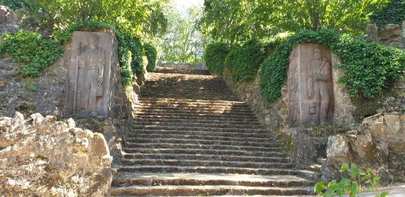
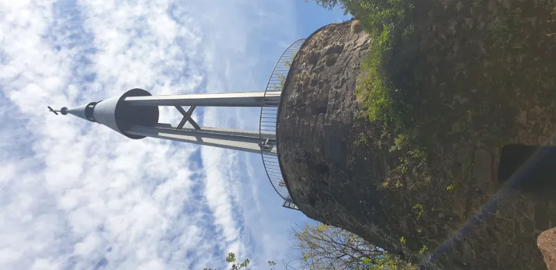
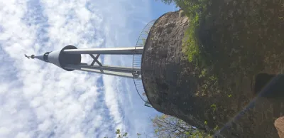
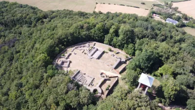
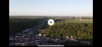
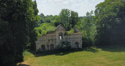
Inaugurated in 1957, the monument pays homage to the more than 1,400 miners who have disappeared. This imposing work consists of a courtyard of honour displaying sculptures and 19 paintings illustrating the deceased miners as well as scenes of the miner's exploitation. At its centre, the cenotaph bears the engraving "Honour and Thanks to the brave miners who gave blood and life for their families and their country". In March 1978, the site became the National Miners' Monument. At the end of the promontory, a steel tower of Differdange culminates at 41 meters. It is surmounted by a cross and carries a bell. The take-off site is at the foot of the tower to have a clear view during the flight. The panorama offers itself in the North on the Kayl valley, the Roeserbann, Dudelange and in particular the Mont Saint-Jean, then Bettembourg and in the distance on a clear day Luxembourg city.
At the foot of the tower, you will find a grotto sheltering La Léiffrächen, Notre-Dame des Mineurs, which receives the devotions of the Kaylois.
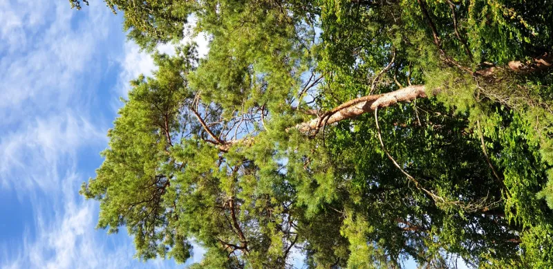
The flight is possible over the forest within a radius of 300 to 400 m, paying attention to the nearest inhabited areas of Kayl and Tétange.
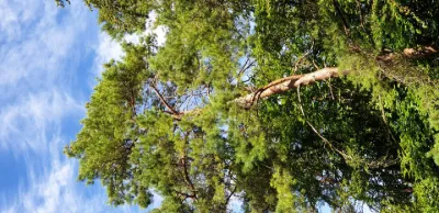
Of course altitude limited to 50 m. No interference found on the day of the flight, but be careful of the masks created by the trees which could cause a loss of signal. Before the flight have a thought for the miners, some of whom unfortunately did not make it back alive.
Have a good flight!
Map and restricted areas
Open in the main mapAviation weather (METAR and TAF)
ELLX – Luxembourg-Findel International Airport VFR
METAR
METAR ELLX 210650Z 00000KT CAVOK M00/M00 Q1018 NOSIG
- Wind
- Calm
- Visibility
- 10 km or more
- Clouds
- –
- Temperature
- 0 °C, dew point 0 °C
- QNH
- 1018 hPa
- Flight category
- VFR: ceiling > 3,000 ft and visibility > 5 mi
TAF
TAF ELLX 210500Z 2106/2212 20005KT 9999 FEW045
| Period (local time) | Change | Wind | Visibility | Weather | Clouds |
|---|---|---|---|---|---|
| 21/11 07:00 → 22/11 13:00 | Initial conditions | 200°, 9 km/h | 10 km or more | Few (1-2/8) at 4,500 ft (1370 m) |
Weather and Kp index
Sunrise and sunset
| Day | Dawn | Sunrise | Golden hour | Sunset | Dusk | Day length |
|---|---|---|---|---|---|---|
| Sat 21 Nov | 07:21 | 07:56 | 07:56–08:48 · 15:55–16:47 | 16:47 | 17:23 | 8 h 51 |
| Sun 22 Nov | 07:22 | 07:58 | 07:58–08:50 · 15:54–16:46 | 16:46 | 17:22 | 8 h 48 |
| Mon 23 Nov | 07:23 | 07:59 | 07:59–08:52 · 15:53–16:45 | 16:45 | 17:21 | 8 h 46 |
| Tue 24 Nov | 07:25 | 08:01 | 08:01–08:53 · 15:52–16:44 | 16:44 | 17:20 | 8 h 43 |
| Wed 25 Nov | 07:26 | 08:02 | 08:02–08:55 · 15:51–16:44 | 16:44 | 17:20 | 8 h 41 |
| Thu 26 Nov | 07:27 | 08:04 | 08:04–08:57 · 15:50–16:43 | 16:43 | 17:19 | 8 h 39 |
| Fri 27 Nov | 07:29 | 08:05 | 08:05–08:58 · 15:49–16:42 | 16:42 | 17:18 | 8 h 37 |

Reviews
Log in to review this spot. Log in · Create a free account
No reviews yet. Share yours!