

The Calanques of Piana & Porto
No reviews yet
Have you flown here? Share your experience with other pilots.
+ Write the first reviewDescription
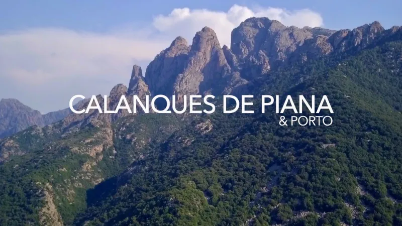
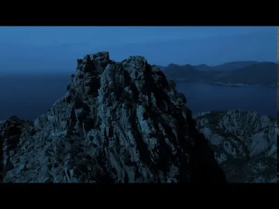
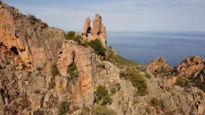
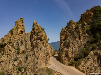
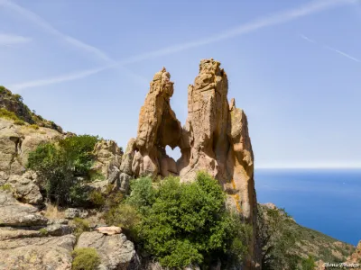
The Calanques of Piana are located on the west coast, at Piana, halfway between Ajaccio and Calvi, along the Corsican coastal road. The calanche are a geological formation of plutonic rocks that are part of the group called "Crystalline Corsica" with magmatic rocks, west of the line running from Calvi to Solenzara. The translation of calanche as calanques is unfortunate, because there is no similarity between the terrain of Piana and that of the calanques of Provence; using the Corsican word is preferable in French. The calanche take the form of a small mountain range shaped like a "V" pointing to the right at the Roches Bleues, starting in the north above the Dardo cove on the south shore of the Gulf of Porto and ending in the south at the Cavallaghju bridge. The highest point is 698 m. In the middle is a rock, overlooked by Capu Ghineparu (515 m). The calanche are crossed by the Dardo stream (Piazza Moninca upstream), which rises below Capu di u Vitullu (1,311 m). Its waters were once used to power a mill at the place called U Mulinu, downstream of the Cavallaghiu bridge. Together with the Gulf of Porto, the Gulf of Girolata and the Scandola reserve further north, the calanche of Piana have been on the World Heritage list since 1983.
Map and restricted areas
Open in the main mapNearby aerodromes
Open aerodromes within 25 km of the spot, heliports included, with their distance and direction from the spot. Near an aerodrome, drone flying is prohibited or height-limited: check the UAS zones map.
No known open aerodrome within 25 km.
Aviation weather (METAR and TAF)
LFKC – Calvi-Sainte-Catherine Airport VFR
METAR
METAR LFKC 210900Z AUTO 20022KT 9999 FEW043 18/09 Q1019 BECMG 21015G25KT
- Wind
- 200°, 41 km/h
- Visibility
- 10 km or more
- Clouds
- Few (1-2/8) at 4,300 ft (1310 m)
- Temperature
- 18 °C, dew point 9 °C
- QNH
- 1019 hPa
- Flight category
- VFR: ceiling > 3,000 ft and visibility > 5 mi
TAF
TAF LFKC 210800Z 2109/2209 21017G27KT 9999 FEW045 TX20/2112Z TN11/2205Z BECMG 2115/2117 22010KT BECMG 2120/2122 VRB03KT PROB30 TEMPO 2122/2203 SHRA SCT040TCU BECMG 2207/2209 21020G30KT
| Period (local time) | Change | Wind | Visibility | Weather | Clouds |
|---|---|---|---|---|---|
| 21/11 10:00 → 21/11 16:00 | Initial conditions | 210°, 31 km/h, gusts 50 km/h | 10 km or more | Few (1-2/8) at 4,500 ft (1370 m) | |
| 21/11 16:00 → 21/11 21:00 | Becoming | 220°, 19 km/h | 10 km or more | Few (1-2/8) at 4,500 ft (1370 m) | |
| 21/11 21:00 → 22/11 08:00 | Becoming | Variable, 6 km/h | 10 km or more | Few (1-2/8) at 4,500 ft (1370 m) | |
| 21/11 23:00 → 22/11 04:00 | Temporarily, probability 30% | Showers of rain | Scattered (3-4/8) at 4,000 ft (1220 m) (towering cumulus) | ||
| 22/11 08:00 → 22/11 10:00 | Becoming | 210°, 37 km/h, gusts 56 km/h | 10 km or more | Few (1-2/8) at 4,500 ft (1370 m) |
Weather and Kp index
Sunrise and sunset
| Day | Dawn | Sunrise | Golden hour | Sunset | Dusk | Day length |
|---|---|---|---|---|---|---|
| Sat 21 Nov | 06:53 | 07:23 | 07:23–08:06 · 16:16–16:59 | 16:59 | 17:30 | 9 h 36 |
| Sun 22 Nov | 06:54 | 07:24 | 07:24–08:07 · 16:15–16:59 | 16:59 | 17:29 | 9 h 34 |
| Mon 23 Nov | 06:55 | 07:25 | 07:25–08:09 · 16:15–16:58 | 16:58 | 17:29 | 9 h 32 |
| Tue 24 Nov | 06:56 | 07:27 | 07:27–08:10 · 16:14–16:57 | 16:57 | 17:28 | 9 h 30 |
| Wed 25 Nov | 06:57 | 07:28 | 07:28–08:11 · 16:13–16:57 | 16:57 | 17:28 | 9 h 28 |
| Thu 26 Nov | 06:58 | 07:29 | 07:29–08:13 · 16:13–16:56 | 16:56 | 17:27 | 9 h 27 |
| Fri 27 Nov | 06:59 | 07:30 | 07:30–08:14 · 16:12–16:56 | 16:56 | 17:27 | 9 h 25 |


Reviews
Log in to review this spot. Log in · Create a free account
No reviews yet. Share yours!