

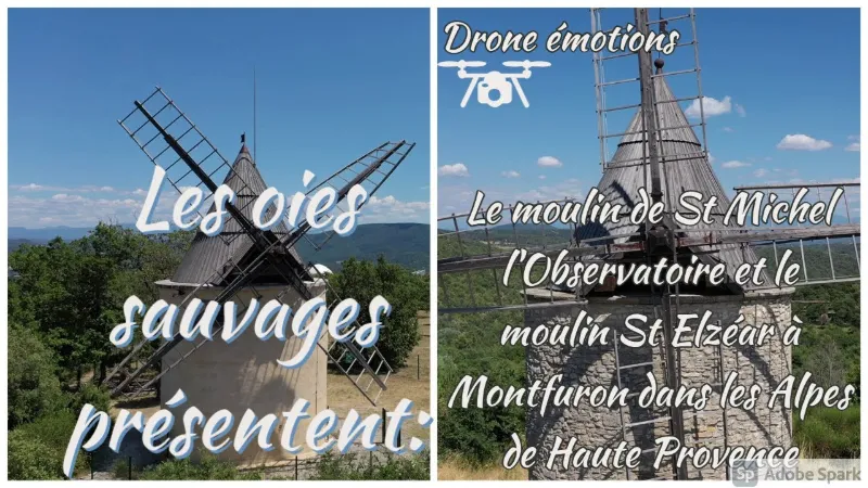
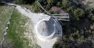
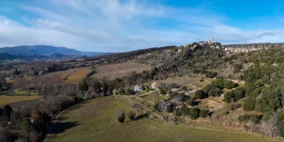
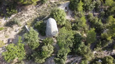
Saint Michel l'observatoire, the mill.
No reviews yet
Have you flown here? Share your experience with other pilots.
+ Write the first reviewDescription
In 1837, Mr. Ferréol POURPRE, a farmer in Saint-Michel, sold the land (locality known as "Les trois croix") to a miller from Vachères, Mr. Victor MARC, so that he could build a mill and an access path. (In Vachères, there are several remains of windmills on the plateau of the same name.)
On this 1813 land register, the exact location of the mill is already marked. It is therefore possible that another mill, already in ruins by that date, existed there before. However, no trace of it can be seen on earlier land registers.
It was built, or rebuilt, in 1838 by Jean MARC, a miller (perhaps Victor's son?) who lived in the village.
The mill may have operated for only a few years, since its builder was already running a water mill on the "Viou" in Forcalquier in 1841.
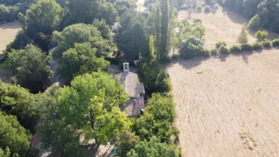
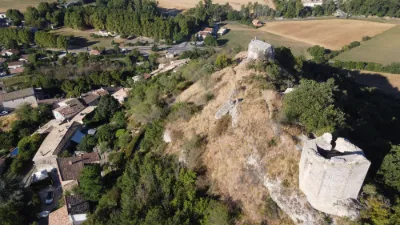
It seems the mill was destroyed in 1855, without it being known why. The neighboring ruin, sometimes called "The miller's house," was built around that time; given its small size, it was probably just a storehouse. The reasons for its disappearance remain unknown.
In 2007, the board of directors of the association "Les Amis de Saint-Michel" launched a project to restore, exactly as it was, the only windmill located in the commune. Thanks to the support of the municipality, the departmental and regional administrative bodies, the heritage foundation, several companies, the association and a public subscription, the project was carried through to completion and the mill was inaugurated on 20 June 20101.
Map and restricted areas
Open in the main mapNearby aerodromes
Open aerodromes within 25 km of the spot, heliports included, with their distance and direction from the spot. Near an aerodrome, drone flying is prohibited or height-limited: check the UAS zones map.
| Aerodrome | Type | Distance | Elevation | Difference |
|---|---|---|---|---|
| Saint Martin de Castillon | Aerodrome | 16 km SW | 335 m | spot 217 m higher |
| Altisurface de Banon | Aerodrome | 19 km N | 1,135 m | spot 582 m lower |
| Aérodrome de Vinon | Aerodrome | 20 km S | 275 m | spot 278 m higher |
Aviation weather (METAR and TAF)
No METAR station within 50 km.
Weather and Kp index
Sunrise and sunset
| Day | Dawn | Sunrise | Golden hour | Sunset | Dusk | Day length |
|---|---|---|---|---|---|---|
| Sat 21 Nov | 07:08 | 07:39 | 07:39–08:24 · 16:22–17:06 | 17:06 | 17:38 | 9 h 26 |
| Sun 22 Nov | 07:09 | 07:41 | 07:41–08:25 · 16:21–17:06 | 17:06 | 17:37 | 9 h 24 |
| Mon 23 Nov | 07:10 | 07:42 | 07:42–08:27 · 16:20–17:05 | 17:05 | 17:37 | 9 h 23 |
| Tue 24 Nov | 07:12 | 07:43 | 07:43–08:28 · 16:19–17:04 | 17:04 | 17:36 | 9 h 21 |
| Wed 25 Nov | 07:13 | 07:44 | 07:44–08:30 · 16:19–17:04 | 17:04 | 17:35 | 9 h 19 |
| Thu 26 Nov | 07:14 | 07:46 | 07:46–08:31 · 16:18–17:03 | 17:03 | 17:35 | 9 h 17 |
| Fri 27 Nov | 07:15 | 07:47 | 07:47–08:32 · 16:17–17:03 | 17:03 | 17:35 | 9 h 15 |

Reviews
Log in to review this spot. Log in · Create a free account
No reviews yet. Share yours!