

Bonnieux, the Pont Julien
No reviews yet
Have you flown here? Share your experience with other pilots.
+ Write the first reviewDescription
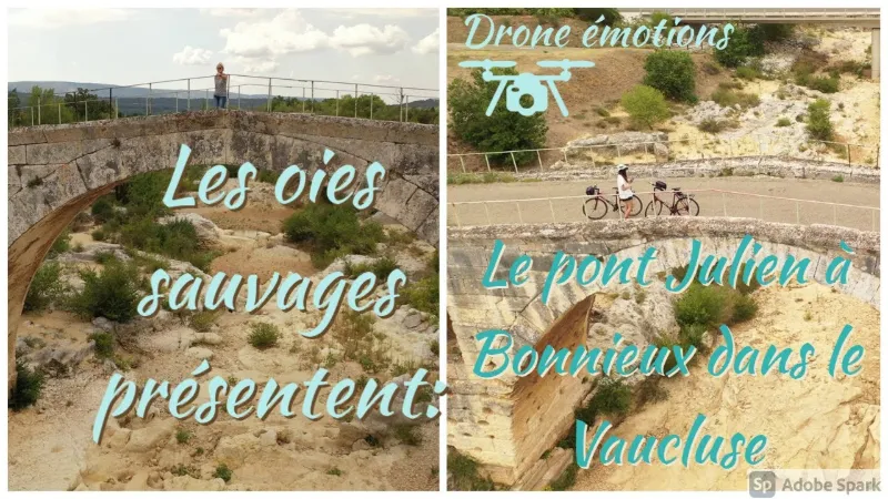
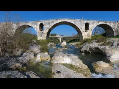
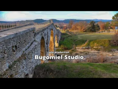
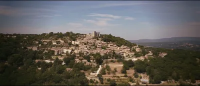
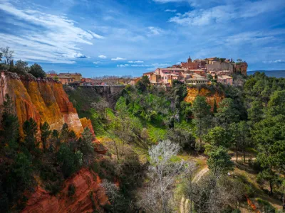
The Pont Julien was built by Domitius Ahenobarbus during the Early Roman Empire, between 27 BC and 14 AD. It is a so-called large-block (opus quadratum) bridge. In the past, it was used to cross the "Calavon" river and continue on toward Narbonne, or in the other direction, toward Turin in Italy. Today, it is part of the rich heritage left by the Romans in Vaucluse. Access for pedestrians and cyclists only. On a road as important as the Via Domitia, engineering structures were very numerous. Every watercourse was equipped with one. This structure, very well maintained and admirably preserved, is the major work of the Via Domitia along its Provence section. During your stay in the Luberon Regional Natural Park, be sure to make a short 5 km detour to the hilltop village of Bonnieux, one of the most picturesque villages in Vaucluse.
Cyclists and pedestrians can still cross the river over this structure, more than 2,000 years old, just as in Roman times.
Map and restricted areas
Open in the main mapNearby aerodromes
Open aerodromes within 25 km of the spot, heliports included, with their distance and direction from the spot. Near an aerodrome, drone flying is prohibited or height-limited: check the UAS zones map.
| Aerodrome | Type | Distance | Elevation | Difference |
|---|---|---|---|---|
| Hôtel La Coquillade Heliport | Heliport | 2.2 km NE | 249 m | spot 79 m lower |
| Saint Martin de Castillon | Aerodrome | 19 km E | 335 m | spot 165 m lower |
| Saint Suffren private UL strip | Aerodrome | 24 km S | 270 m | spot 100 m lower |
Aviation weather (METAR and TAF)
LFMV – Avignon-Caumont Airport VFR
METAR
METAR LFMV 210630Z AUTO VRB01KT CAVOK 05/04 Q1020 NOSIG
- Wind
- Variable, 2 km/h
- Visibility
- 10 km or more
- Clouds
- –
- Temperature
- 5 °C, dew point 4 °C
- QNH
- 1020 hPa
- Flight category
- VFR: ceiling > 3,000 ft and visibility > 5 mi
TAF
TAF LFMV 210200Z 2103/2203 VRB03KT CAVOK BECMG 2119/2121 13010KT -RA BKN020 PROB40 TEMPO 2122/2203 13015G25KT 4000 RA BKN012 BKN025
| Period (local time) | Change | Wind | Visibility | Weather | Clouds |
|---|---|---|---|---|---|
| 21/11 04:00 → 21/11 20:00 | Initial conditions | Variable, 6 km/h | 10 km or more | No significant weather | No significant cloud |
| 21/11 20:00 → 22/11 04:00 | Becoming | 130°, 19 km/h | 10 km or more | Rain light | Broken (5-7/8) at 2,000 ft (610 m) |
| 21/11 23:00 → 22/11 04:00 | Temporarily, probability 40% | 130°, 28 km/h, gusts 46 km/h | 4.0 km | Rain | Broken (5-7/8) at 1,200 ft (370 m) ; Broken (5-7/8) at 2,500 ft (760 m) |
Weather and Kp index
Sunrise and sunset
| Day | Dawn | Sunrise | Golden hour | Sunset | Dusk | Day length |
|---|---|---|---|---|---|---|
| Sat 21 Nov | 07:10 | 07:41 | 07:41–08:26 · 16:24–17:08 | 17:08 | 17:40 | 9 h 27 |
| Sun 22 Nov | 07:11 | 07:42 | 07:42–08:27 · 16:23–17:07 | 17:07 | 17:39 | 9 h 25 |
| Mon 23 Nov | 07:12 | 07:44 | 07:44–08:28 · 16:22–17:07 | 17:07 | 17:38 | 9 h 23 |
| Tue 24 Nov | 07:13 | 07:45 | 07:45–08:30 · 16:21–17:06 | 17:06 | 17:38 | 9 h 21 |
| Wed 25 Nov | 07:14 | 07:46 | 07:46–08:31 · 16:20–17:06 | 17:06 | 17:37 | 9 h 19 |
| Thu 26 Nov | 07:15 | 07:47 | 07:47–08:32 · 16:20–17:05 | 17:05 | 17:37 | 9 h 17 |
| Fri 27 Nov | 07:16 | 07:48 | 07:48–08:34 · 16:19–17:04 | 17:04 | 17:36 | 9 h 16 |
Reviews
Log in to review this spot. Log in · Create a free account
No reviews yet. Share yours!