

Lac des Corbeaux
No reviews yet
Have you flown here? Share your experience with other pilots.
+ Write the first reviewDescription
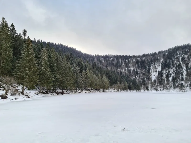
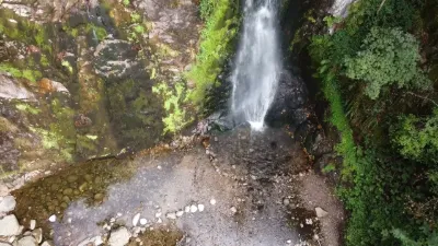
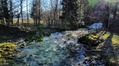
Place visited in winter. Not accessible by car because the road is closed, but at other times of year there is a parking lot by the lake, which should be open when conditions are more favorable.
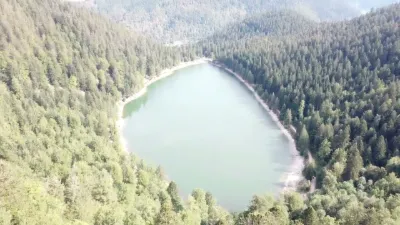
Lake at about 900 m elevation, which must be very busy in summer.
There are many hiking trails starting from the lake that are really nice (be careful if you're afraid of heights), but somewhat slippery in winter.
Enjoy your visit!
For your information: feel free to follow me on Instagram to see all the upcoming videos and photos @fly_simeon
Map and restricted areas
Open in the main mapNearby aerodromes
Open aerodromes within 25 km of the spot, heliports included, with their distance and direction from the spot. Near an aerodrome, drone flying is prohibited or height-limited: check the UAS zones map.
| Aerodrome | Type | Distance | Elevation | Difference |
|---|---|---|---|---|
| La Tête Des Champs Altiport | Aerodrome | 10 km SW | 970 m | spot 79 m lower |
| Ramonchamp ULM | Aerodrome | 15 km SW | 577 m | spot 314 m higher |
Aviation weather (METAR and TAF)
LFGA – Colmar-Houssen Airport VFR
METAR
METAR LFGA 211030Z AUTO VRB02KT 9999 FEW010 SCT014 BKN041 08/06 Q1020
- Wind
- Variable, 4 km/h
- Visibility
- 10 km or more
- Clouds
- Few (1-2/8) at 1,000 ft (300 m) ; Scattered (3-4/8) at 1,400 ft (430 m) ; Broken (5-7/8) at 4,100 ft (1250 m)
- Temperature
- 8 °C, dew point 6 °C
- QNH
- 1020 hPa
- Flight category
- VFR: ceiling > 3,000 ft and visibility > 5 mi
TAF
Weather and Kp index
Sunrise and sunset
| Day | Dawn | Sunrise | Golden hour | Sunset | Dusk | Day length |
|---|---|---|---|---|---|---|
| Sat 21 Nov | 07:13 | 07:48 | 07:48–08:37 · 15:59–16:49 | 16:49 | 17:23 | 9 h 01 |
| Sun 22 Nov | 07:14 | 07:49 | 07:49–08:39 · 15:58–16:48 | 16:48 | 17:23 | 8 h 59 |
| Mon 23 Nov | 07:16 | 07:50 | 07:50–08:40 · 15:57–16:47 | 16:47 | 17:22 | 8 h 56 |
| Tue 24 Nov | 07:17 | 07:52 | 07:52–08:42 · 15:56–16:46 | 16:46 | 17:21 | 8 h 54 |
| Wed 25 Nov | 07:18 | 07:53 | 07:53–08:44 · 15:55–16:46 | 16:46 | 17:20 | 8 h 52 |
| Thu 26 Nov | 07:20 | 07:54 | 07:54–08:45 · 15:54–16:45 | 16:45 | 17:20 | 8 h 50 |
| Fri 27 Nov | 07:21 | 07:56 | 07:56–08:47 · 15:53–16:44 | 16:44 | 17:19 | 8 h 48 |

Reviews
Log in to review this spot. Log in · Create a free account
No reviews yet. Share yours!