

Pic de Courmettes - 1248 Meters - Côte d'Azur
No reviews yet
Have you flown here? Share your experience with other pilots.
+ Write the first reviewDescription
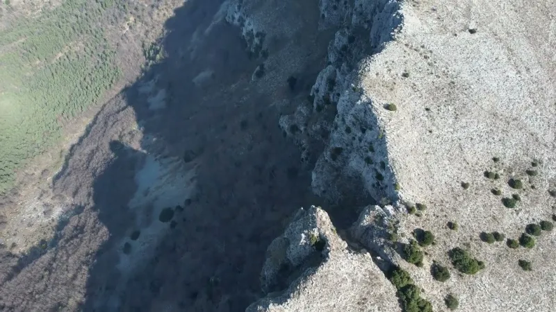
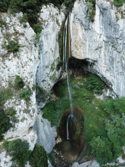
Pic de Courmettes - 1248 Meters - Côte d'Azur - 4K/UHD Drone - February 2022
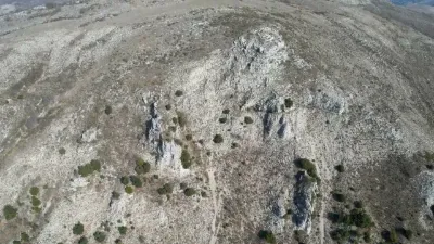
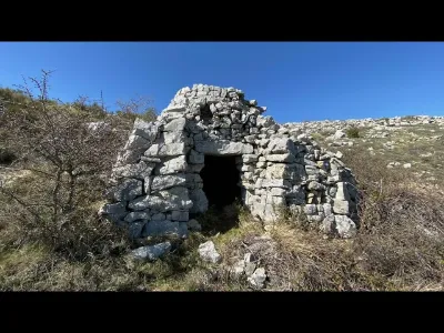
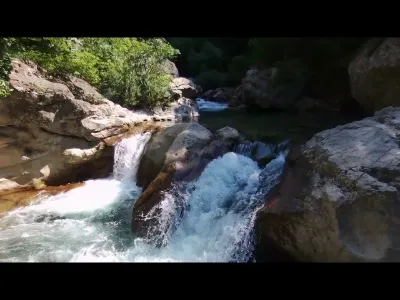
In the heart of the middle country of the Alpes-Maritimes, overlooking the Gorges du Loup, Courmes is the starting point for a traverse of the Puy de Tourrettes, which it makes sense to combine with the Pic de Courmettes. The hike follows the old Saint-Barnabé path that once linked the villages, to reach the Clapière Rousse. A pleasant ridge route follows, offering all the way to the summit a clear view over the vast surrounding landscape: Montagne du Cheiron, Plateau de Calern, Côte d'Azur, etc. The steeper descent from the Pic de Courmettes, via its west ridge, joins the GR51 trail, which makes for a pleasant return to the starting point.
Map and restricted areas
Open in the main mapNearby aerodromes
Open aerodromes within 25 km of the spot, heliports included, with their distance and direction from the spot. Near an aerodrome, drone flying is prohibited or height-limited: check the UAS zones map.
| Aerodrome | Type | Distance | Elevation | Difference |
|---|---|---|---|---|
| Sophia Antépolis Heliport | Heliport | 12 km S | 235 m | spot 1,008 m higher |
| Cipieres Alpes Dazur ULM | Aerodrome | 14 km NW | 1,155 m | spot 89 m higher |
| Hôpital Clavary Heliport | Heliport | 14 km SW | 168 m | spot 1,075 m higher |
| Hôpital L'Archet 2 Heliport | Heliport | 17 km E | 185 m | spot 1,058 m higher |
| Nice-Côte d'Azur Airport | Major airport | 17 km SE | 4 m | spot 1,240 m higher |
Aviation weather (METAR and TAF)
LFMN – Nice-Côte d'Azur Airport VFR
METAR
METAR LFMN 211030Z 05005KT CAVOK 17/09 Q1016 NOSIG
- Wind
- 050°, 9 km/h
- Visibility
- 10 km or more
- Clouds
- –
- Temperature
- 17 °C, dew point 9 °C
- QNH
- 1016 hPa
- Flight category
- VFR: ceiling > 3,000 ft and visibility > 5 mi
TAF
TAF LFMN 210800Z 2109/2215 VRB02KT CAVOK PROB40 2113/2121 25010KT BECMG 2121/2123 34010KT TEMPO 2123/2210 4000 RA BKN014 SCT030TCU BECMG 2210/2214 25018G30KT
| Period (local time) | Change | Wind | Visibility | Weather | Clouds |
|---|---|---|---|---|---|
| 21/11 10:00 → 21/11 22:00 | Initial conditions | Variable, 4 km/h | 10 km or more | No significant weather | No significant cloud |
| 21/11 14:00 → 21/11 22:00 | probability 40% | 250°, 19 km/h | |||
| 21/11 22:00 → 22/11 11:00 | Becoming | 340°, 19 km/h | 10 km or more | No significant weather | No significant cloud |
| 22/11 00:00 → 22/11 11:00 | Temporarily | 4.0 km | Rain | Broken (5-7/8) at 1,400 ft (430 m) ; Scattered (3-4/8) at 3,000 ft (910 m) (towering cumulus) | |
| 22/11 11:00 → 22/11 16:00 | Becoming | 250°, 33 km/h, gusts 56 km/h | 10 km or more | No significant weather | No significant cloud |
Weather and Kp index
Sunrise and sunset
| Day | Dawn | Sunrise | Golden hour | Sunset | Dusk | Day length |
|---|---|---|---|---|---|---|
| Sat 21 Nov | 07:02 | 07:34 | 07:34–08:18 · 16:17–17:02 | 17:02 | 17:33 | 9 h 27 |
| Sun 22 Nov | 07:04 | 07:35 | 07:35–08:20 · 16:16–17:01 | 17:01 | 17:32 | 9 h 25 |
| Mon 23 Nov | 07:05 | 07:36 | 07:36–08:21 · 16:16–17:00 | 17:00 | 17:32 | 9 h 24 |
| Tue 24 Nov | 07:06 | 07:37 | 07:37–08:22 · 16:15–17:00 | 17:00 | 17:31 | 9 h 22 |
| Wed 25 Nov | 07:07 | 07:39 | 07:39–08:24 · 16:14–16:59 | 16:59 | 17:31 | 9 h 20 |
| Thu 26 Nov | 07:08 | 07:40 | 07:40–08:25 · 16:13–16:59 | 16:59 | 17:30 | 9 h 18 |
| Fri 27 Nov | 07:09 | 07:41 | 07:41–08:26 · 16:13–16:58 | 16:58 | 17:30 | 9 h 16 |


Reviews
Log in to review this spot. Log in · Create a free account
No reviews yet. Share yours!