

Water
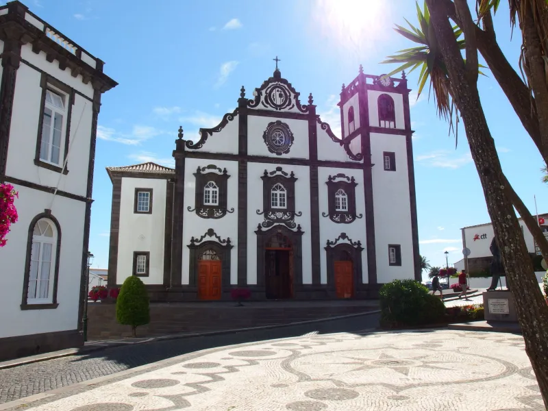
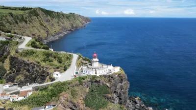
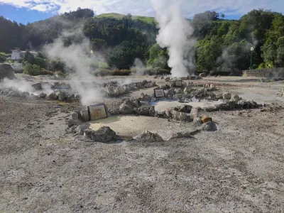
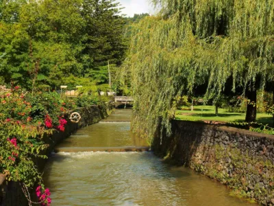
Azores archipelago, São Miguel island
1 pilot review
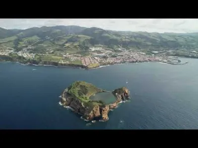
“Très jolie vidéo sur cet endroit paradisiaque.” — Dabus, 3 years ago
Read the reviews + Write my reviewDescription
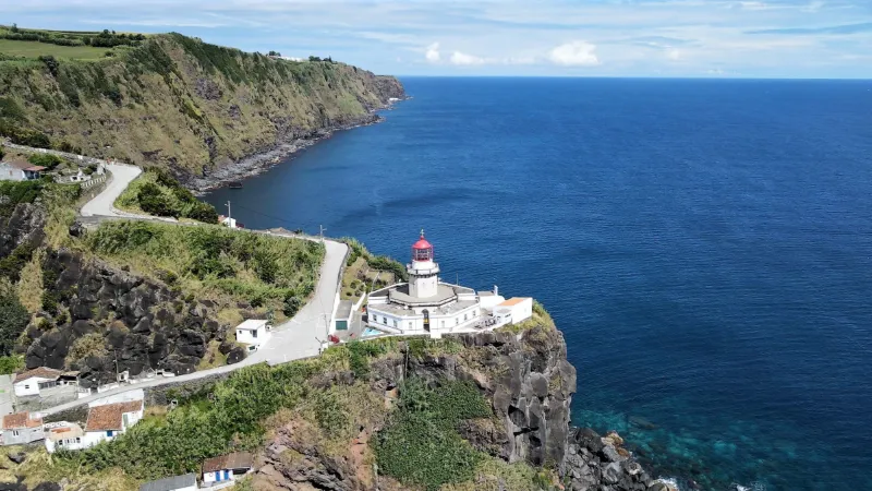
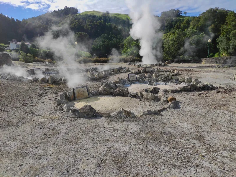
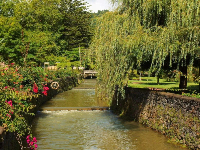
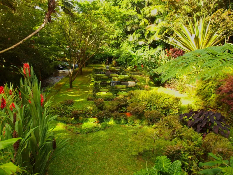
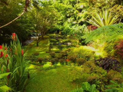
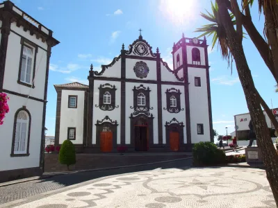
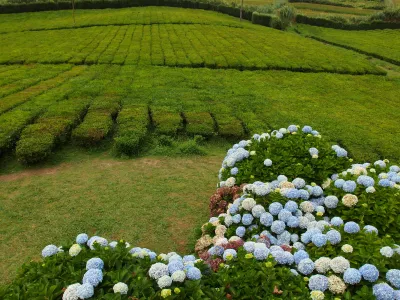
The eastern part of the island of São Miguel between Furnas and Nordeste
Map and restricted areas
Open in the main mapAviation weather (METAR and TAF)
LPPD – João Paulo II Airport VFR
METAR
METAR LPPD 210630Z 33010KT 9999 FEW018 14/07 Q1018
- Wind
- 330°, 19 km/h
- Visibility
- 10 km or more
- Clouds
- Few (1-2/8) at 1,800 ft (550 m)
- Temperature
- 14 °C, dew point 7 °C
- QNH
- 1018 hPa
- Flight category
- VFR: ceiling > 3,000 ft and visibility > 5 mi
TAF
TAF LPPD 210510Z 2106/2206 32013KT 9999 SCT025 BECMG 2118/2120 VRB05KT BECMG 2122/2124 21010KT
| Period (local time) | Change | Wind | Visibility | Weather | Clouds |
|---|---|---|---|---|---|
| 21/11 05:00 → 21/11 17:00 | Initial conditions | 320°, 24 km/h | 10 km or more | Scattered (3-4/8) at 2,500 ft (760 m) | |
| 21/11 17:00 → 21/11 21:00 | Becoming | Variable, 9 km/h | 10 km or more | Scattered (3-4/8) at 2,500 ft (760 m) | |
| 21/11 21:00 → 22/11 05:00 | Becoming | 210°, 19 km/h | 10 km or more | Scattered (3-4/8) at 2,500 ft (760 m) |
Weather and Kp index
Sunrise and sunset
| Day | Dawn | Sunrise | Golden hour | Sunset | Dusk | Day length |
|---|---|---|---|---|---|---|
| Sat 21 Nov | 07:00 | 07:28 | 07:28–08:07 · 16:47–17:26 | 17:26 | 17:55 | 9 h 58 |
| Sun 22 Nov | 07:01 | 07:29 | 07:29–08:08 · 16:46–17:26 | 17:26 | 17:54 | 9 h 56 |
| Mon 23 Nov | 07:01 | 07:30 | 07:30–08:09 · 16:46–17:25 | 17:25 | 17:54 | 9 h 55 |
| Tue 24 Nov | 07:02 | 07:31 | 07:31–08:10 · 16:45–17:25 | 17:25 | 17:53 | 9 h 53 |
| Wed 25 Nov | 07:03 | 07:32 | 07:32–08:12 · 16:45–17:24 | 17:24 | 17:53 | 9 h 52 |
| Thu 26 Nov | 07:04 | 07:33 | 07:33–08:13 · 16:44–17:24 | 17:24 | 17:53 | 9 h 51 |
| Fri 27 Nov | 07:05 | 07:34 | 07:34–08:14 · 16:44–17:24 | 17:24 | 17:52 | 9 h 49 |

Reviews
Log in to review this spot. Log in · Create a free account
Dabus
Très jolie vidéo sur cet endroit paradisiaque.