

Chapel of Notre-Dame des Vernettes - Plan Peisey
No reviews yet
Have you flown here? Share your experience with other pilots.
+ Write the first reviewDescription
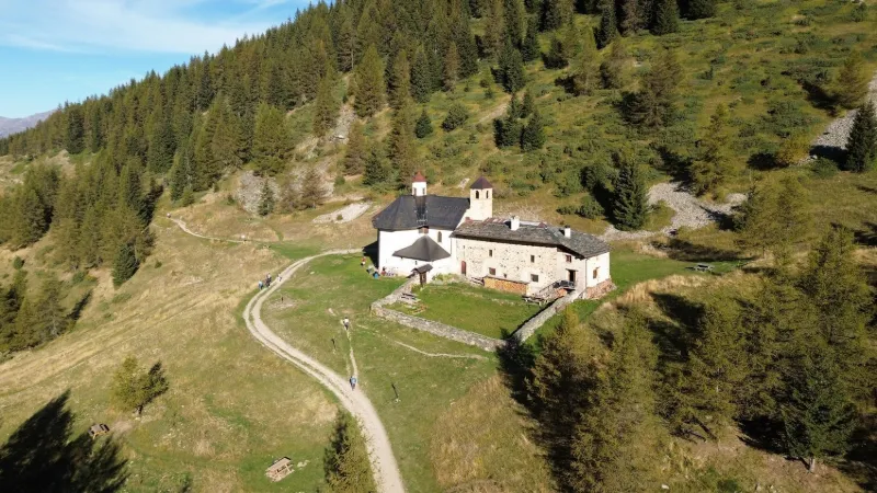
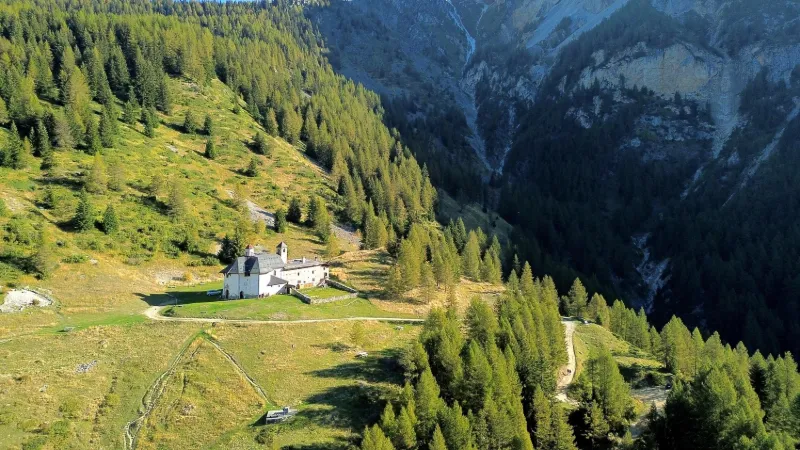
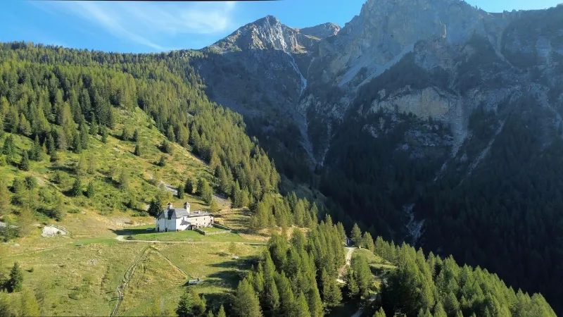
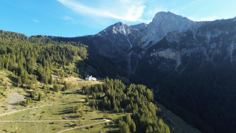
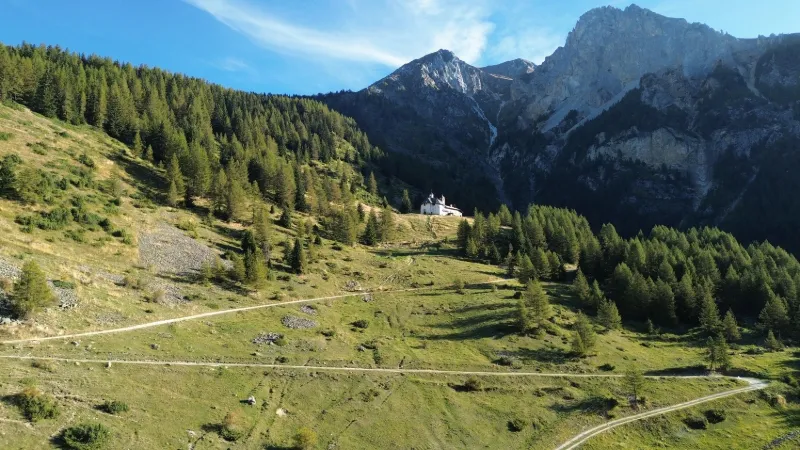
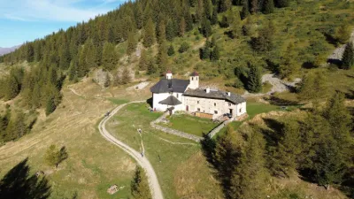
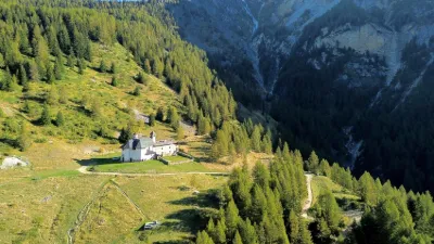
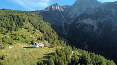
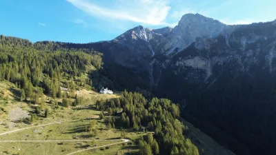
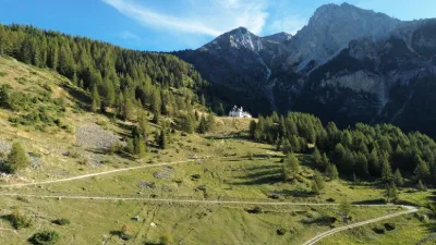
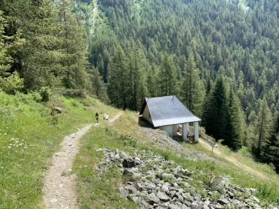
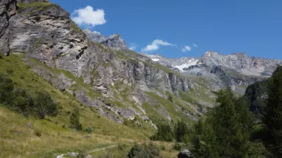
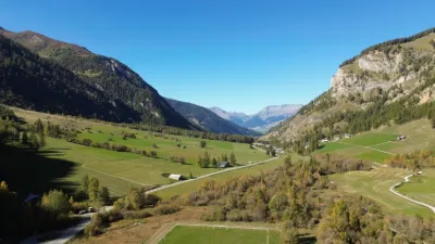
Built on a small ledge at 1,800 meters of altitude, surrounded by peaks of more than 3,000 meters overlooking the Ponturin valley and on the edge of the Vanoise National Park, the Chapel of Notre-Dame des Vernettes is a treasure of Savoyard Baroque art. → Several signs state that drones are prohibited inside (!) and outside the chapel (but the municipal order is illegal, only the DGAC can issue a ban. Near PEISEY-NANCROIX
Map and restricted areas
Open in the main mapNearby aerodromes
Open aerodromes within 25 km of the spot, heliports included, with their distance and direction from the spot. Near an aerodrome, drone flying is prohibited or height-limited: check the UAS zones map.
| Aerodrome | Type | Distance | Elevation | Difference |
|---|---|---|---|---|
| Altisurface du Glacier de la Chiaupe | Aerodrome | 5.4 km S | 3,100 m | spot 1,306 m lower |
| Mont Blanc Hélicoptères | Heliport | 5.5 km NE | 2,031 m | spot 237 m lower |
| Altiport de Vaugellaz | Aerodrome | 9.3 km NW | 2,020 m | spot 226 m lower |
| Vers Le Col Du Palet Altiport | Aerodrome | 13 km SE | 2,440 m | spot 646 m lower |
| Altiport de la Tovière | Aerodrome | 15 km SE | 2,240 m | spot 446 m lower |
Aviation weather (METAR and TAF)
LIMW – Aosta Airport VFR
METAR
METAR LIMW 211120Z 24011KT 220V280 CAVOK 14/01 Q1018
- Wind
- 240°, 20 km/h
- Visibility
- 10 km or more
- Clouds
- –
- Temperature
- 14 °C, dew point 1 °C
- QNH
- 1018 hPa
- Flight category
- VFR: ceiling > 3,000 ft and visibility > 5 mi
TAF
TAF LIMW 211100Z 2112/2121 26009KT CAVOK
| Period (local time) | Change | Wind | Visibility | Weather | Clouds |
|---|---|---|---|---|---|
| 21/11 13:00 → 21/11 22:00 | Initial conditions | 260°, 17 km/h | 10 km or more | No significant weather | No significant cloud |
Weather and Kp index
Sunrise and sunset
| Day | Dawn | Sunrise | Golden hour | Sunset | Dusk | Day length |
|---|---|---|---|---|---|---|
| Sat 21 Nov | 07:08 | 07:40 | 07:40–08:26 · 16:11–16:57 | 16:57 | 17:30 | 9 h 17 |
| Sun 22 Nov | 07:09 | 07:41 | 07:41–08:28 · 16:10–16:57 | 16:57 | 17:29 | 9 h 15 |
| Mon 23 Nov | 07:10 | 07:43 | 07:43–08:29 · 16:09–16:56 | 16:56 | 17:29 | 9 h 13 |
| Tue 24 Nov | 07:11 | 07:44 | 07:44–08:31 · 16:08–16:55 | 16:55 | 17:28 | 9 h 11 |
| Wed 25 Nov | 07:12 | 07:45 | 07:45–08:32 · 16:07–16:54 | 16:54 | 17:27 | 9 h 09 |
| Thu 26 Nov | 07:14 | 07:47 | 07:47–08:34 · 16:06–16:54 | 16:54 | 17:27 | 9 h 07 |
| Fri 27 Nov | 07:15 | 07:48 | 07:48–08:35 · 16:06–16:53 | 16:53 | 17:26 | 9 h 05 |
Reviews
Log in to review this spot. Log in · Create a free account
No reviews yet. Share yours!