| Photo | Map | Spot | Type | Max height | Access | Views |
|---|---|---|---|---|---|---|
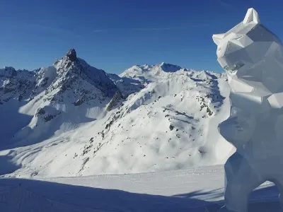
| La Plagne | Mountain | 120 m max | On foot > 1,000 m | 2,928 | ||
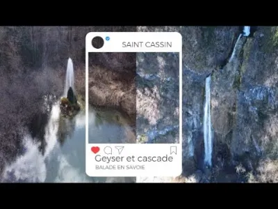
| Saint Cassin Geyser and Waterfall | Water | 120 m max | On foot < 1,000 m | 2,772 | ||
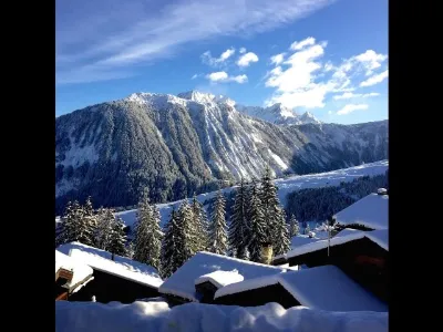
| Courchevel | Mountain | 50 m max | Direct access by car | 2,153 | ||
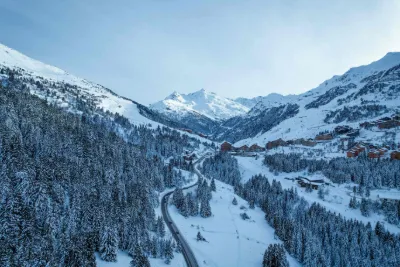
| Méribel | Water | 50 m max | On foot < 1,000 m | 2,131 | ||
| Tignes | Mountain | 100 m max | On foot > 1,000 m | 1,955 | ||
| Lac du Bourget | Water | 120 m max | On foot < 1,000 m | 1,789 | ||
| Lake Aiguebelette | Water | 120 m max | Direct access by car | 1,727 | ||
| Seizures | Mountain | 120 m max | On foot > 1,000 m | 1,705 | ||
| Saint Martin de Belleville | Mountain | 50 m max | On foot < 1,000 m | 1,659 | ||
| Conjux - Aix les bains | Water | 60 m max | Direct access by car | 1,651 | ||
| Arc 2000 - Bourg Saint Maurice | Mountain | 120 m max | On foot < 1,000 m | 1,627 | ||
| Arcs2000 | Mountain | 120 m max | On foot < 1,000 m | 1,575 | ||
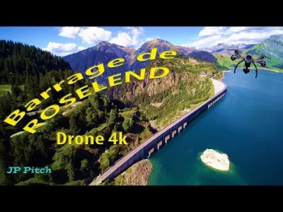
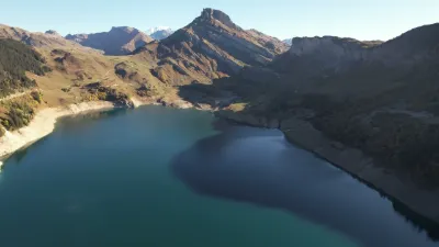
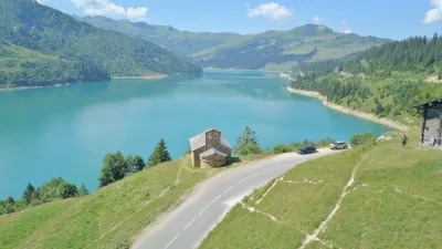
| Lac de Roselend | Water | 120 m max | Direct access by car | 1,514 | ||
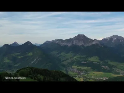
| The Bauges Massif Compote | Mountain | 120 m max | On foot < 1,000 m | 1,263 | ||
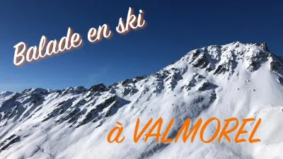
| Village of VALMOREL | Mountain | 30 m max | On foot < 1,000 m | 1,211 | ||
| Fort du Télégraphe - Valloire | Mountain | 120 m max | On foot < 1,000 m | 1,127 | ||
| Valmeinier 1800 | Water | 120 m max | On foot < 1,000 m | 931 | ||
| Lac du Mont Cenis | Water | 120 m max | Direct access by car | 910 | ||
| Le Corbier - Les Sybelles | Mountain | 60 m max | On foot > 1,000 m | 871 | ||
| The banks of the Vanoise | Mountain | 60 m max | On foot < 1,000 m | 854 | ||
| Belle-Plagne | Mountain | 60 m max | On foot < 1,000 m | 834 | ||
| La Grande Montagne Col des Aravis - La Giettaz | Mountain | 120 m max | On foot < 1,000 m | 757 | ||
| Saint-Sorlin-d'Arves (in summer) | Mountain | 30 m max | On foot < 1,000 m | 742 | ||
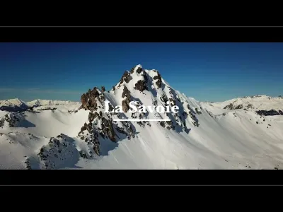
| Savoie | Heritage | 120 m max | On foot < 1,000 m | 739 | ||
| Le plan d'eau de la Motte en Bauges | Water | 120 m max | On foot < 1,000 m | 710 | ||
| The Nivolet Cross | Heritage | 120 m max | On foot < 1,000 m | 710 | ||
| Bourg Saint Maurice | Water | 50 m max | On foot < 1,000 m | 708 | ||
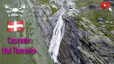
| Val Thorens | Mountain | 50 m max | On foot < 1,000 m | 703 | ||
| Beaufort-sur-Doron | Water | 120 m max | On foot < 1,000 m | 693 | ||
| Belvédère du Revard | Mountain | 120 m max | Direct access by car | 644 | ||
| The Sir | Mountain | 120 m max | Direct access by car | 500 | ||
| Courchevel 1850 | Mountain | 50 m max | On foot > 1,000 m | 489 | ||
| the Belvedere of La Chambotte | Mountain | 120 m max | On foot < 1,000 m | 450 | ||
| Lake Roselend and its chapel | Water | 120 m max | On foot < 1,000 m | 449 | ||
| Moncenisio | Mountain | 120 m max | Access not specified | 443 | ||
| The Bay of Grésine | Water | 120 m max | On foot < 1,000 m | 436 | ||
| Albiez-Montrond | Mountain | 120 m max | On foot < 1,000 m | 435 | ||
| Le Revard | Mountain | 120 m max | On foot < 1,000 m | 418 | ||
| Verthemex | Unusual | 120 m max | On foot < 1,000 m | 406 | ||
| To the sources of Mistletoe | Water | 120 m max | On foot < 1,000 m | 402 | ||
| Arclusaz tooth | Mountain | 120 m max | On foot > 1,000 m | 397 | ||
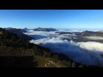
| Above the clouds | Mountain | 120 m max | On foot > 1,000 m | 392 | ||
| Plan Mya mountain pasture, between Lake and Cormet de Roselend | Mountain | 120 m max | On foot > 1,000 m | 377 | ||
| Chartreuse / Pas du Frou | Mountain | 120 m max | On foot > 1,000 m | 366 | ||
| Belle Plagne - Mont Saint-Jacques | Mountain | 120 m max | On foot > 1,000 m | 364 | ||
| Sea of clouds in Grésivaudan | Mountain | 120 m max | On foot > 1,000 m | 355 | ||
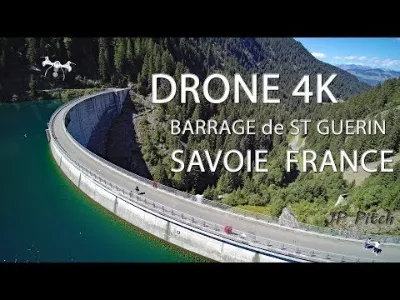
| Saint-Guérin Dam | Unusual | 120 m max | Direct access by car | 341 | ||
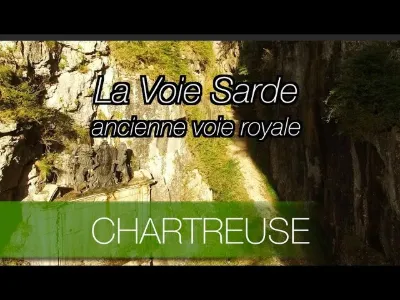
| The Sardinian Way | Mountain | 120 m max | On foot < 1,000 m | 339 |