

Corsica - Pozzine Bastelica, a Place of Incredible Beauty
No reviews yet
Have you flown here? Share your experience with other pilots.
+ Write the first reviewDescription
Pozzine Bastelica
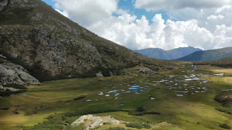
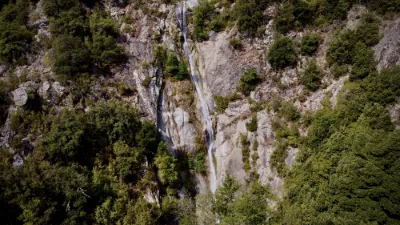
A fairly physically demanding hike, 12 km in the mountains, quite a lot of elevation gain, 5 hours round trip, but so many magnificent and varied landscapes, encounters with lots of animals, not a sound except the song of the birds and the streams...
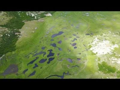
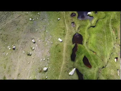
Les Bergeries des Pozzi The Pozzines (from the Corsican i Pozzi, meaning Wells) are acidic peat grasslands crossed by small streams with winding courses. They are located at altitudes between 1700 and 2300 meters. They occupy depressions formed by former glacial lakes; they result from the filling of these lakes by clay deposits and by large amounts of dead plants. In Corsica, the deposits of the oldest pozzines date back about 12,000 years.
Starting point: the Val d'Ese ski resort
#drone #corse #pozzine #dronemini2 #randonnée
Social Media Instagram : / pgdrone Youtube : / @pgdrone
Royalty-Free Music –––––––––––––––––––––––––––––– Jay Someday - Daylight Free download : Music provided by Audio Libre : • Musique de Fond Planante Libre de Dro...
Map and restricted areas
Open in the main mapNearby aerodromes
Open aerodromes within 25 km of the spot, heliports included, with their distance and direction from the spot. Near an aerodrome, drone flying is prohibited or height-limited: check the UAS zones map.
| Aerodrome | Type | Distance | Elevation | Difference |
|---|---|---|---|---|
| Aérodrome de Ghisonaccia - Alzitone | Aerodrome | 22 km E | 54 m | spot 1,732 m higher |
| Base ULM d'Aghione Casone | Aerodrome | 24 km E | 51 m | spot 1,735 m higher |
Aviation weather (METAR and TAF)
LFKS – Solenzara (BA 126) Air Base VFR
METAR
METAR LFKS 211030Z AUTO 28006KT 220V350 CAVOK 20/02 Q1017
- Wind
- 280°, 11 km/h
- Visibility
- 10 km or more
- Clouds
- –
- Temperature
- 20 °C, dew point 2 °C
- QNH
- 1017 hPa
- Flight category
- VFR: ceiling > 3,000 ft and visibility > 5 mi
TAF
Weather and Kp index
Sunrise and sunset
| Day | Dawn | Sunrise | Golden hour | Sunset | Dusk | Day length |
|---|---|---|---|---|---|---|
| Sat 21 Nov | 06:50 | 07:21 | 07:21–08:03 · 16:15–16:58 | 16:58 | 17:28 | 9 h 37 |
| Sun 22 Nov | 06:51 | 07:22 | 07:22–08:05 · 16:14–16:57 | 16:57 | 17:28 | 9 h 35 |
| Mon 23 Nov | 06:52 | 07:23 | 07:23–08:06 · 16:14–16:57 | 16:57 | 17:27 | 9 h 33 |
| Tue 24 Nov | 06:54 | 07:24 | 07:24–08:07 · 16:13–16:56 | 16:56 | 17:27 | 9 h 31 |
| Wed 25 Nov | 06:55 | 07:25 | 07:25–08:09 · 16:12–16:56 | 16:56 | 17:26 | 9 h 30 |
| Thu 26 Nov | 06:56 | 07:26 | 07:26–08:10 · 16:12–16:55 | 16:55 | 17:26 | 9 h 28 |
| Fri 27 Nov | 06:57 | 07:28 | 07:28–08:11 · 16:11–16:55 | 16:55 | 17:25 | 9 h 27 |

Reviews
Log in to review this spot. Log in · Create a free account
No reviews yet. Share yours!