

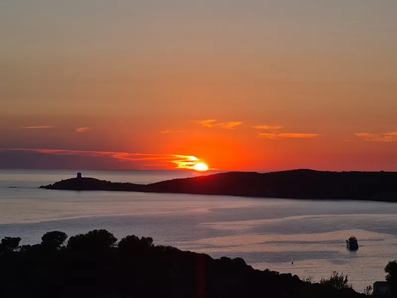
Corsica - Cargese after the 2022 Storm and Its Genoese Tower
No reviews yet
Have you flown here? Share your experience with other pilots.
+ Write the first reviewDescription
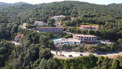
Cargese in Corsica
In 2022, Corsica was hit by an unforecast storm that caused enormous damage and 6 deaths... This storm was felt from Calvi to Ajaccio.
This film was shot a week later, and you can see a few boats washed ashore.
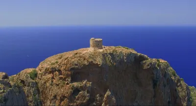
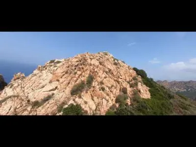
To finish on a more upbeat note, I'm sharing our hike, which took us to the Genoese tower of Omigna - Torra Ghjenuvese d’Omigna.
Allow more than an hour each way and an hour back. Easy path, accessible for children. Bring water bottles and hats!!!
#drone #Corse #Cargese #djimini2 #mer #randonnée
Map and restricted areas
Open in the main mapNearby aerodromes
Open aerodromes within 25 km of the spot, heliports included, with their distance and direction from the spot. Near an aerodrome, drone flying is prohibited or height-limited: check the UAS zones map.
No known open aerodrome within 25 km.
Aviation weather (METAR and TAF)
LFKJ – Ajaccio-Napoléon Bonaparte Airport VFR
METAR
METAR LFKJ 211000Z AUTO VRB01KT 9999 FEW033 SCT042 BKN054 19/12 Q1021 NOSIG
- Wind
- Variable, 2 km/h
- Visibility
- 10 km or more
- Clouds
- Few (1-2/8) at 3,300 ft (1010 m) ; Scattered (3-4/8) at 4,200 ft (1280 m) ; Broken (5-7/8) at 5,400 ft (1650 m)
- Temperature
- 19 °C, dew point 12 °C
- QNH
- 1021 hPa
- Flight category
- VFR: ceiling > 3,000 ft and visibility > 5 mi
TAF
TAF LFKJ 210800Z 2109/2209 06004KT 9999 BKN035 BECMG 2110/2112 24010KT BECMG 2116/2118 05005KT
| Period (local time) | Change | Wind | Visibility | Weather | Clouds |
|---|---|---|---|---|---|
| 21/11 10:00 → 21/11 11:00 | Initial conditions | 060°, 7 km/h | 10 km or more | Broken (5-7/8) at 3,500 ft (1070 m) | |
| 21/11 11:00 → 21/11 17:00 | Becoming | 240°, 19 km/h | 10 km or more | Broken (5-7/8) at 3,500 ft (1070 m) | |
| 21/11 17:00 → 22/11 10:00 | Becoming | 050°, 9 km/h | 10 km or more | Broken (5-7/8) at 3,500 ft (1070 m) |
Weather and Kp index
Sunrise and sunset
| Day | Dawn | Sunrise | Golden hour | Sunset | Dusk | Day length |
|---|---|---|---|---|---|---|
| Sat 21 Nov | 06:53 | 07:23 | 07:23–08:06 · 16:17–17:00 | 17:00 | 17:30 | 9 h 36 |
| Sun 22 Nov | 06:54 | 07:24 | 07:24–08:07 · 16:16–16:59 | 16:59 | 17:30 | 9 h 34 |
| Mon 23 Nov | 06:55 | 07:26 | 07:26–08:09 · 16:16–16:59 | 16:59 | 17:29 | 9 h 33 |
| Tue 24 Nov | 06:56 | 07:27 | 07:27–08:10 · 16:15–16:58 | 16:58 | 17:29 | 9 h 31 |
| Wed 25 Nov | 06:57 | 07:28 | 07:28–08:11 · 16:14–16:58 | 16:58 | 17:28 | 9 h 29 |
| Thu 26 Nov | 06:58 | 07:29 | 07:29–08:13 · 16:14–16:57 | 16:57 | 17:28 | 9 h 27 |
| Fri 27 Nov | 06:59 | 07:30 | 07:30–08:14 · 16:13–16:57 | 16:57 | 17:27 | 9 h 26 |



Reviews
Log in to review this spot. Log in · Create a free account
No reviews yet. Share yours!