

Mountain
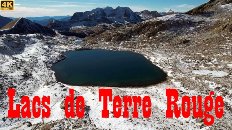
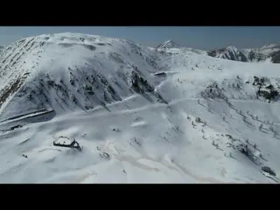
Lacs de Terre Rouge - 2452 Meters - Isola 2000 - Alpes-Maritimes - Drone 4K/UHD - Hike
No reviews yet
Have you flown here? Share your experience with other pilots.
+ Write the first reviewDescription
Lacs de Terre Rouge - 2452 Meters - Isola 2000 - Alpes-Maritimes - Drone 4K/UHD - Hike May 2022
The Lacs de Terre Rouge are located in the Mercantour massif, at an altitude of 2452 m, in the commune of Isola, in the Alpes-Maritimes department. The Lacs de Terre Rouge can be reached on foot via the hiking trails leading to the pas du Loup and the baisse de Druos, from the Isola 2000 resort.
Map and restricted areas
Open in the main mapNearby aerodromes
Open aerodromes within 25 km of the spot, heliports included, with their distance and direction from the spot. Near an aerodrome, drone flying is prohibited or height-limited: check the UAS zones map.
| Aerodrome | Type | Distance | Elevation | Difference |
|---|---|---|---|---|
| Altisurface d'Isola 2000 | Aerodrome | 2.5 km SW | 2,500 m | spot 62 m lower |
| Altisurface de Valberg | Aerodrome | 21 km SW | 683 m | spot 1,756 m higher |
Aviation weather (METAR and TAF)
No METAR station within 50 km.
Weather and Kp index
Sunrise and sunset
| Day | Dawn | Sunrise | Golden hour | Sunset | Dusk | Day length |
|---|---|---|---|---|---|---|
| Sat 21 Nov | 07:03 | 07:34 | 07:34–08:19 · 16:15–17:00 | 17:00 | 17:31 | 9 h 25 |
| Sun 22 Nov | 07:04 | 07:36 | 07:36–08:21 · 16:14–16:59 | 16:59 | 17:31 | 9 h 23 |
| Mon 23 Nov | 07:05 | 07:37 | 07:37–08:22 · 16:13–16:58 | 16:58 | 17:30 | 9 h 21 |
| Tue 24 Nov | 07:06 | 07:38 | 07:38–08:24 · 16:12–16:58 | 16:58 | 17:30 | 9 h 19 |
| Wed 25 Nov | 07:07 | 07:39 | 07:39–08:25 · 16:12–16:57 | 16:57 | 17:29 | 9 h 17 |
| Thu 26 Nov | 07:09 | 07:41 | 07:41–08:26 · 16:11–16:56 | 16:56 | 17:28 | 9 h 15 |
| Fri 27 Nov | 07:10 | 07:42 | 07:42–08:28 · 16:10–16:56 | 16:56 | 17:28 | 9 h 14 |
Nearby on Wikipedia
Nearby spots
 Mountain
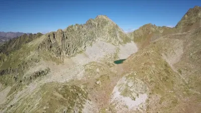
Isola 2000 Lacs des Terres Rouges
 Mountain
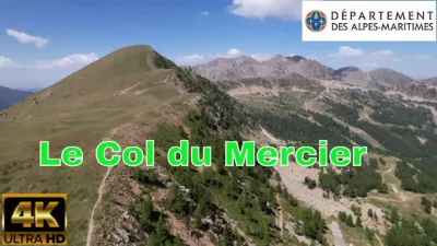
Isola 2000, the col du Mercier
 Mountain
Tête de la Mercière - 2491 Meters - Tête de Pélevos - 2455 Meters - Isola 2000 - Alpes-Maritimes - Drone 4K/UHD - Hike May 2022
 Mountain
Col de la Lombarde - Isola 2000
 Mountain
Cime de la Lombarde - 2800 Meters - Isola 2000 - Alpes-Maritimes - Drone 4K/UHD
 Mountain
Col de la Lombarde - Tête de l'Adrech d'en Barris - Isola 2000
Reviews
Log in to review this spot. Log in · Create a free account
No reviews yet. Share yours!