Skip to content
Water

Dubrovnik

Croatia

We have no zone data for this country: ask the local authority before flying.Official zones map (Croatia)

Dubrovnik – photo 1Dubrovnik – photo 2Dubrovnik – photo 3Dubrovnik – photo 4Dubrovnik – photo 5

No reviews yet

Have you flown here? Share your experience with other pilots.

+ Write the first review

Description

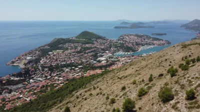
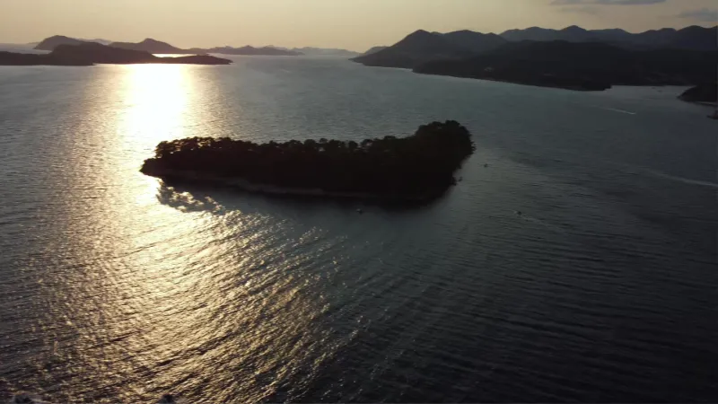
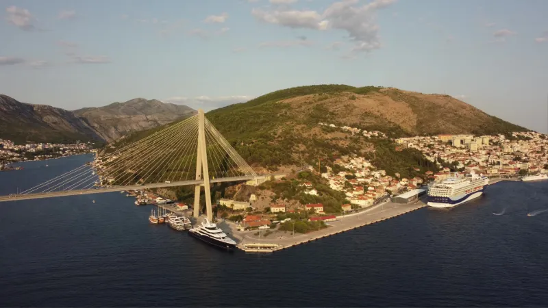
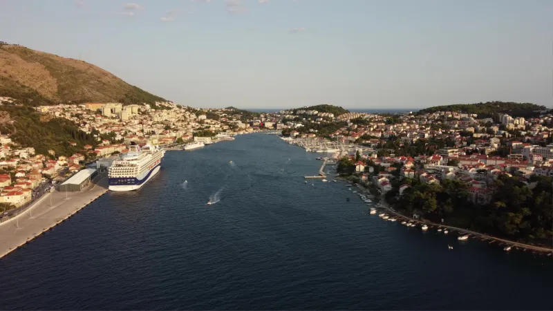
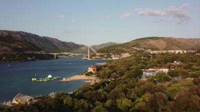
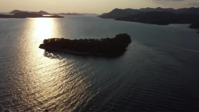
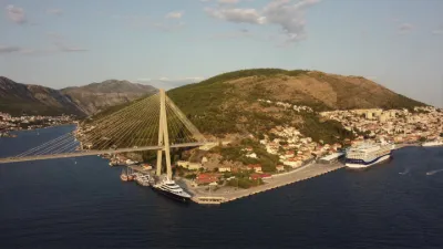
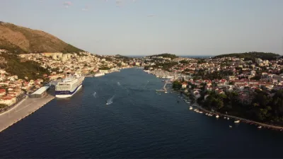
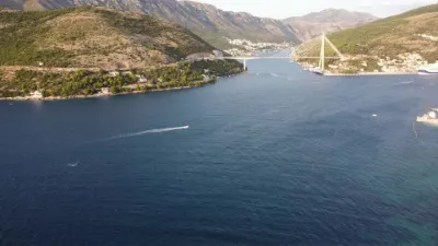
Peninsula at the entrance to the city's harbor

Automatic translation.

Aviation weather (METAR and TAF)

LDDU – Dubrovnik Airport · 20 km SE VFR

METAR

Observed 21/11 11:30 · 37 min ago

METAR LDDU 211030Z 29003KT 240V340 9999 FEW035 16/09 Q1017 NOSIG

Wind
290°, 6 km/h
Visibility
10 km or more
Clouds
Few (1-2/8) at 3,500 ft (1070 m)
Temperature
16 °C, dew point 9 °C
QNH
1017 hPa
Flight category
VFR: ceiling > 3,000 ft and visibility > 5 mi

TAF

Issued 21/11 06:33 · valid from 21/11 07:00 to 22/11 07:00

TAF COR LDDU 210533Z 2106/2206 08005KT 9999 FEW020 SCT040 TX15/2112Z TN11/2204Z PROB40 2110/2115 28008KT PROB30 TEMPO 2110/2115 TS FEW030CB TEMPO 2120/2206 08009KT PROB30 TEMPO 2200/2203 SHRA FEW020TCU SCT030

Period (local time) Change Wind Visibility Weather Clouds
21/11 07:00 → 22/11 07:00 Initial conditions 080°, 9 km/h 10 km or more Few (1-2/8) at 2,000 ft (610 m) ; Scattered (3-4/8) at 4,000 ft (1220 m)
21/11 11:00 → 21/11 16:00 probability 40% 280°, 15 km/h
21/11 11:00 → 21/11 16:00 Temporarily, probability 30% Thunderstorm Few (1-2/8) at 3,000 ft (910 m) (cumulonimbus)
21/11 21:00 → 22/11 07:00 Temporarily 080°, 17 km/h
22/11 01:00 → 22/11 04:00 Temporarily, probability 30% Showers of rain Few (1-2/8) at 2,000 ft (610 m) (towering cumulus) ; Scattered (3-4/8) at 3,000 ft (910 m)

Empty cell: no change forecast for that element.

METAR and TAF from NOAA (Aviation Weather Center), for guidance only: they do not replace flight planning with official sources (SIA, Météo-France). Nearest station that issues a METAR, not necessarily the nearest aerodrome.

Plan the light

Weather and Kp index

Loading forecast…

Sunrise and sunset

Local times at the spot (UTC+01:00). The golden hour, the warm, low light sought after for photos and videos, runs from sunrise until the sun reaches 6° above the horizon, and in the evening from 6° until sunset.

Day Dawn Sunrise Golden hour Sunset Dusk Day length
Sat 21 Nov06:16 06:47 06:47–07:30 · 15:37–16:21 16:21 16:519 h 33
Sun 22 Nov06:17 06:48 06:48–07:31 · 15:36–16:20 16:20 16:519 h 32
Mon 23 Nov06:18 06:49 06:49–07:33 · 15:36–16:19 16:19 16:509 h 30
Tue 24 Nov06:19 06:50 06:50–07:34 · 15:35–16:19 16:19 16:509 h 28
Wed 25 Nov06:20 06:51 06:51–07:35 · 15:34–16:18 16:18 16:499 h 26
Thu 26 Nov06:21 06:53 06:53–07:37 · 15:34–16:18 16:18 16:499 h 25
Fri 27 Nov06:23 06:54 06:54–07:38 · 15:33–16:17 16:17 16:489 h 23

Nearby on Wikipedia

  • République de Raguse · 1.4 km away

    La république de Raguse était une cité-État et une république maritime dont la ville centre était Raguse (en croate, Dubrovnik). Elle fut créée à la suite du traité de Zadar le et exista jusqu'à l'annexion française le . Elle était gouvernée par un recteur, élu chaque mois (...)

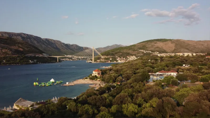
  • Pont Franjo-Tuđman · 1.5 km away

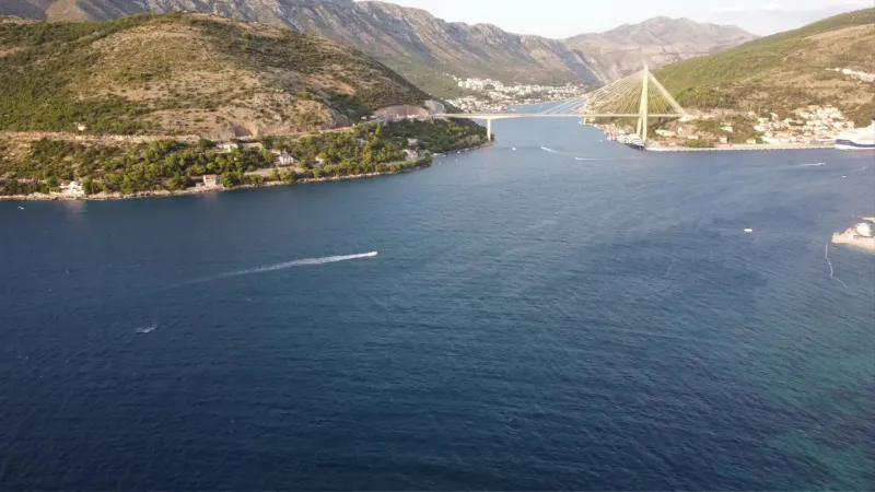
    Le pont Franjo Tuđman, en croate : Most dr. Franje Tuđmana, est un pont à haubans situé près de Dubrovnik en Croatie. Son design a été conçu en 1989, mais sa construction a été stoppée en raison de la Guerre de Croatie.

  • Synagogue de Dubrovnik · 2.7 km away

    La synagogue de Dubrovnik fut construite en 1352. Elle est ainsi la plus ancienne synagogue séfarade encore utilisée aujourd'hui et la seconde plus ancienne synagogue d'Europe après la Synagogue Vieille-Nouvelle de Prague (...)

  • Isthme de Stradun · 2.7 km away

    L'isthme de Stradun est une étroite bande de terre reliant la Croatie continentale au port de Dubrovnik. Il était autrefois appelé l'« isthme de Dubrovnik ».

  • Comitat de Dubrovnik-Neretva · 2.8 km away

    Le comitat de Dubrovnik-Neretva (en croate Dubrovačko-neretvanska županija) est un comté de Croatie. C’est le comté situé le plus au sud du pays. Le comitat est séparé en deux régions au niveau de la ville de Neum. Sa surface totale est de et sa population, lors du recensement de 2011, de habitants (...)

Articles found by GeoNames from the spot's position.

Nearby spots

Reviews

Log in to review this spot. Log in · Create a free account

No reviews yet. Share yours!

Connection to the site lost. Trying again…

The site is not responding. Trying again in seconds.

The site is no longer responding.

The site has been updated. Reloading the page…

This page has expired.

Resuming failed. Please reload the page.

The site is no longer responding.