

Avérole - Bessans
No reviews yet
Have you flown here? Share your experience with other pilots.
+ Write the first reviewDescription
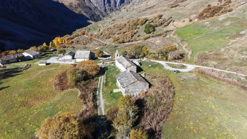
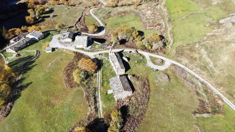
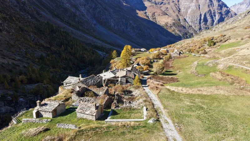
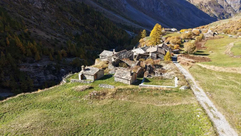
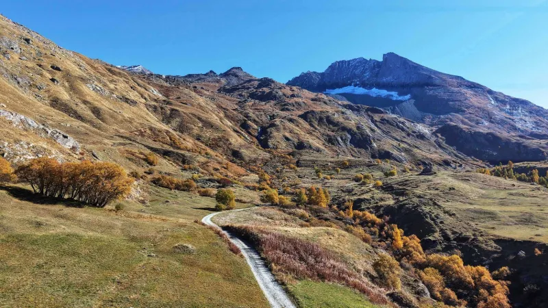
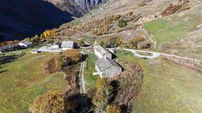
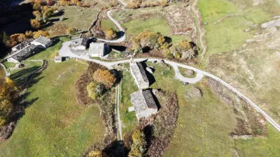
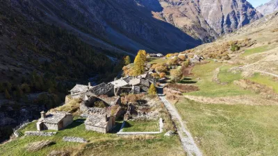
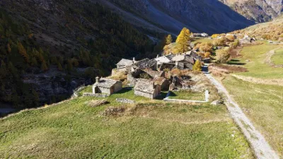
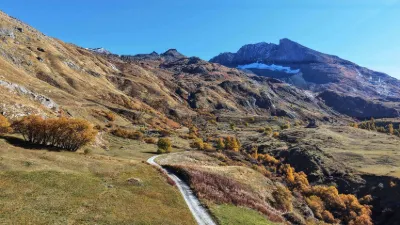
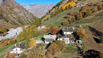
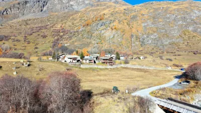
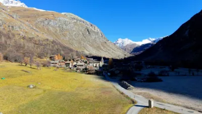
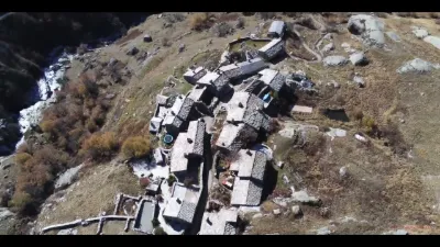
The hamlet of Avérole is located at an altitude of 2,000 meters. In the past, its proximity to several passes encouraged exchanges with Italy, notably Turin and the villages of Piedmont, even leading to marriages! Despite the remoteness and the dangers inherent to the mountains, people traveled between the hamlet and Bessans even in the depths of winter. The population, living from livestock farming, was large, which justified a school that remained in use until the start of the First World War. The hamlet was inhabited year-round until 1963. → In summer, the houses are inhabited, so avoid flying over them.
Map and restricted areas
Open in the main mapNearby aerodromes
Open aerodromes within 25 km of the spot, heliports included, with their distance and direction from the spot. Near an aerodrome, drone flying is prohibited or height-limited: check the UAS zones map.
| Aerodrome | Type | Distance | Elevation | Difference |
|---|---|---|---|---|
| Tête De Solaise Heliport | Heliport | 15 km NW | 2,550 m | spot 495 m lower |
| La Daille Heliport | Heliport | 19 km NW | 1,802 m | spot 253 m higher |
| Altiport du Glacier De La Grande Motte | Aerodrome | 19 km NW | 2,915 m | spot 860 m lower |
| Altiport de la Tovière | Aerodrome | 21 km NW | 2,240 m | spot 185 m lower |
| Sollières Sardières Airfield | Aerodrome | 22 km W | 1,297 m | spot 758 m higher |
Aviation weather (METAR and TAF)
LIMF – Turin Airport VFR
METAR
METAR LIMF 211150Z 03007KT CAVOK 16/02 Q1015
- Wind
- 030°, 13 km/h
- Visibility
- 10 km or more
- Clouds
- –
- Temperature
- 16 °C, dew point 2 °C
- QNH
- 1015 hPa
- Flight category
- VFR: ceiling > 3,000 ft and visibility > 5 mi
TAF
TAF LIMF 211100Z 2112/2212 VRB05KT CAVOK TEMPO 2200/2212 3000 RA
| Period (local time) | Change | Wind | Visibility | Weather | Clouds |
|---|---|---|---|---|---|
| 21/11 13:00 → 22/11 13:00 | Initial conditions | Variable, 9 km/h | 10 km or more | No significant weather | No significant cloud |
| 22/11 01:00 → 22/11 13:00 | Temporarily | 3.0 km | Rain |
Weather and Kp index
Sunrise and sunset
| Day | Dawn | Sunrise | Golden hour | Sunset | Dusk | Day length |
|---|---|---|---|---|---|---|
| Sat 21 Nov | 07:06 | 07:38 | 07:38–08:24 · 16:11–16:57 | 16:57 | 17:29 | 9 h 18 |
| Sun 22 Nov | 07:07 | 07:40 | 07:40–08:26 · 16:10–16:56 | 16:56 | 17:29 | 9 h 16 |
| Mon 23 Nov | 07:08 | 07:41 | 07:41–08:27 · 16:09–16:55 | 16:55 | 17:28 | 9 h 14 |
| Tue 24 Nov | 07:09 | 07:42 | 07:42–08:29 · 16:08–16:55 | 16:55 | 17:27 | 9 h 12 |
| Wed 25 Nov | 07:11 | 07:43 | 07:43–08:30 · 16:07–16:54 | 16:54 | 17:27 | 9 h 10 |
| Thu 26 Nov | 07:12 | 07:45 | 07:45–08:32 · 16:06–16:53 | 16:53 | 17:26 | 9 h 08 |
| Fri 27 Nov | 07:13 | 07:46 | 07:46–08:33 · 16:06–16:53 | 16:53 | 17:26 | 9 h 06 |
Reviews
Log in to review this spot. Log in · Create a free account
No reviews yet. Share yours!