

The walkways of the Vaux marsh - Cormaranche-en-Bugey
No reviews yet
Have you flown here? Share your experience with other pilots.
+ Write the first reviewDescription
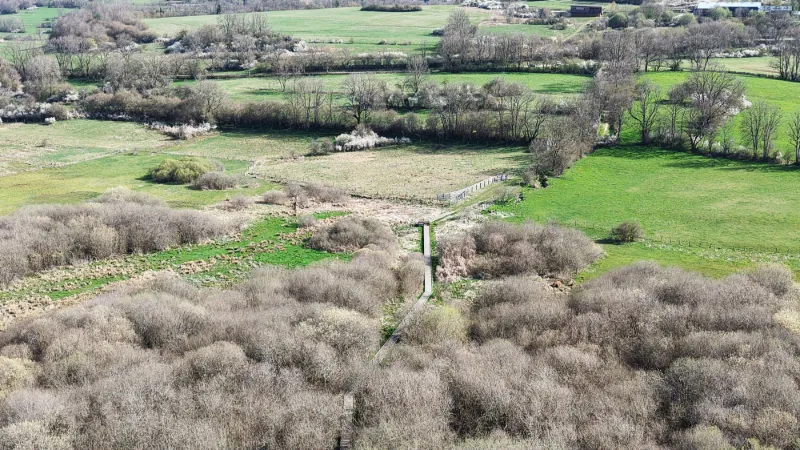
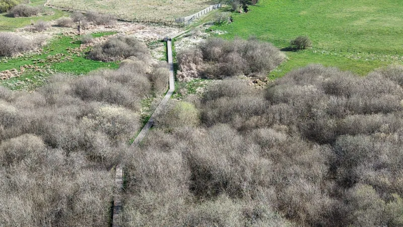
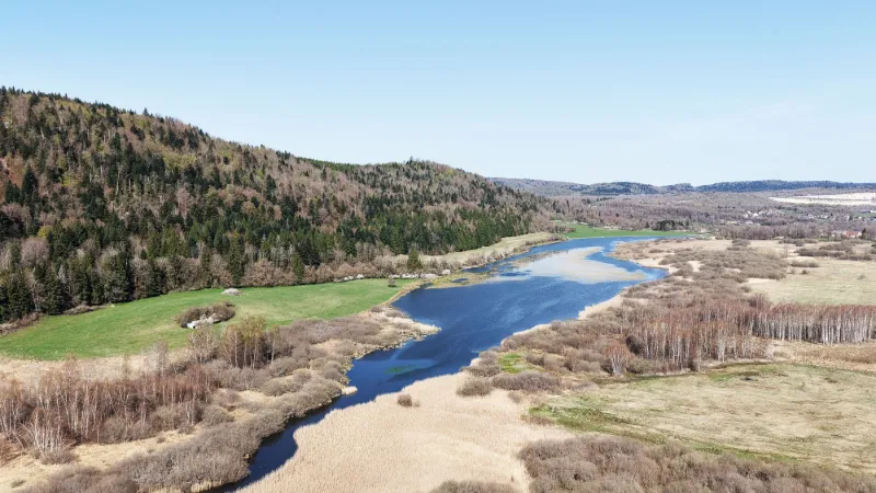
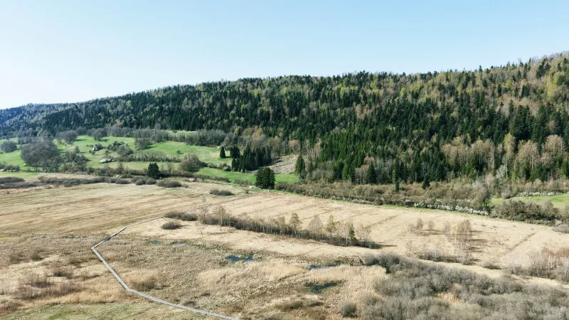
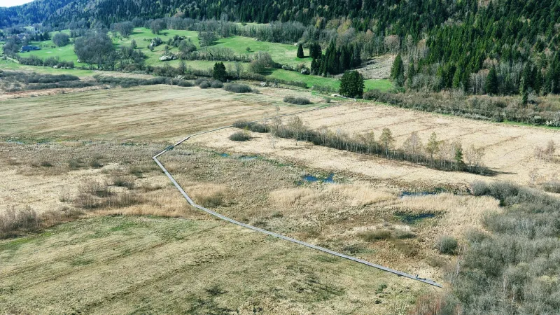
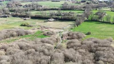
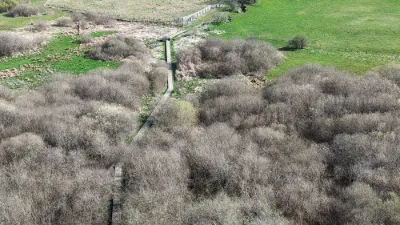
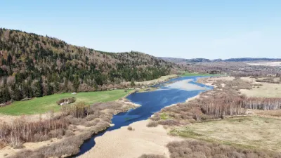
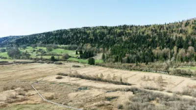
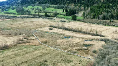
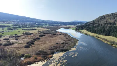
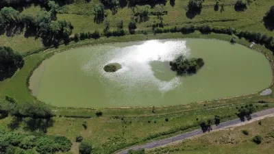
The walkways of the Vaux marsh, on the Hauteville plateau, wind above a rare and well-preserved wetland ecosystem. These wooden structures let you cross this fragile, biodiversity-rich environment gently. The route offers a unique immersion in the heart of peat bogs, reedbeds and carnivorous plants such as the sundew. Attentive observers can spot dragonflies, migratory birds and sometimes even roe deer. This site, classified as a regional nature reserve, is a place for environmental education and contemplative walks. An invitation to discovery, where every step reveals a little more of the secrets of this mysterious marsh. The site is sensitive in summer and very busy. Avoid flying during the warm season. NEAR AMBÉRIEU-EN-BUGEY
Map and restricted areas
Open in the main mapNearby aerodromes
Open aerodromes within 25 km of the spot, heliports included, with their distance and direction from the spot. Near an aerodrome, drone flying is prohibited or height-limited: check the UAS zones map.
| Aerodrome | Type | Distance | Elevation | Difference |
|---|---|---|---|---|
| Corlier Altiport | Aerodrome | 12 km NW | 842 m | spot 75 m lower |
| Grand Colombier Heliport | Heliport | 15 km SE | 1,437 m | spot 670 m lower |
| Corbonod-Seyssel Private | Aerodrome | 17 km E | 358 m | spot 409 m higher |
| Ambérieu Air Base (BA 278) | Airport | 21 km W | 251 m | spot 516 m higher |
| Base Hydro-ULM Rhône Lavours | Seaplane base | 21 km SE | 239 m | spot 528 m higher |
Aviation weather (METAR and TAF)
LFLP – Annecy-Haute-Savoie-Mont Blanc Airport VFR
METAR
METAR LFLP 210830Z AUTO VRB03KT 9999 BKN033 OVC058 08/07 Q1021 NOSIG
- Wind
- Variable, 6 km/h
- Visibility
- 10 km or more
- Clouds
- Broken (5-7/8) at 3,300 ft (1010 m) ; Overcast (8/8) at 5,800 ft (1770 m)
- Temperature
- 8 °C, dew point 7 °C
- QNH
- 1021 hPa
- Flight category
- VFR: ceiling > 3,000 ft and visibility > 5 mi
TAF
TAF AMD LFLP 210713Z 2107/2203 25005KT 9999 BKN040 PROB40 TEMPO 2107/2109 4000 -SHRA SCT025TCU BKN035 TEMPO 2201/2203 4000 RA
| Period (local time) | Change | Wind | Visibility | Weather | Clouds |
|---|---|---|---|---|---|
| 21/11 08:00 → 22/11 04:00 | Initial conditions | 250°, 9 km/h | 10 km or more | Broken (5-7/8) at 4,000 ft (1220 m) | |
| 21/11 08:00 → 21/11 10:00 | Temporarily, probability 40% | 4.0 km | Showers of rain light | Scattered (3-4/8) at 2,500 ft (760 m) (towering cumulus) ; Broken (5-7/8) at 3,500 ft (1070 m) | |
| 22/11 02:00 → 22/11 04:00 | Temporarily | 4.0 km | Rain |
Weather and Kp index
Sunrise and sunset
| Day | Dawn | Sunrise | Golden hour | Sunset | Dusk | Day length |
|---|---|---|---|---|---|---|
| Sat 21 Nov | 07:13 | 07:46 | 07:46–08:33 · 16:14–17:01 | 17:01 | 17:34 | 9 h 14 |
| Sun 22 Nov | 07:15 | 07:47 | 07:47–08:35 · 16:13–17:00 | 17:00 | 17:33 | 9 h 12 |
| Mon 23 Nov | 07:16 | 07:49 | 07:49–08:36 · 16:12–16:59 | 16:59 | 17:32 | 9 h 10 |
| Tue 24 Nov | 07:17 | 07:50 | 07:50–08:38 · 16:11–16:58 | 16:58 | 17:32 | 9 h 08 |
| Wed 25 Nov | 07:18 | 07:51 | 07:51–08:39 · 16:10–16:58 | 16:58 | 17:31 | 9 h 06 |
| Thu 26 Nov | 07:19 | 07:53 | 07:53–08:40 · 16:09–16:57 | 16:57 | 17:30 | 9 h 04 |
| Fri 27 Nov | 07:21 | 07:54 | 07:54–08:42 · 16:09–16:57 | 16:57 | 17:30 | 9 h 02 |

Reviews
Log in to review this spot. Log in · Create a free account
No reviews yet. Share yours!