

St Michel chapel, Lac de Serre-Ponçon
No reviews yet
Have you flown here? Share your experience with other pilots.
+ Write the first reviewDescription
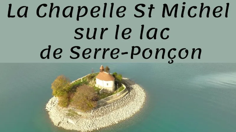
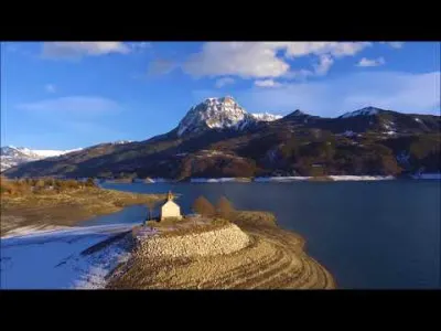
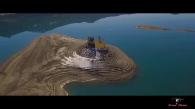
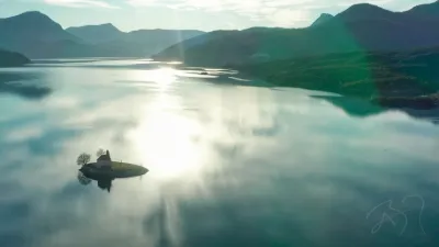
Perched on its rocky islet in the heart of Lac de Serre-Ponçon and surrounded by the majestic peaks of the Hautes-Alpes, the Saint-Michel chapel is as intriguing as it is marvelous. Contrary to popular belief, it is located in the municipality of Prunières. This emblematic site, one of the most photographed in the region, bears witness to a submerged past and offers a fascinating sight that changes with the seasons. A chapel miraculously saved from the waters The history of the Saint-Michel chapel goes back more than a thousand years. Founded in 1027 by the Count of Provence, it was first a place of pagan worship before being taken over by the Order of Saint John of Jerusalem in 1140. For a long time it served as a refuge for travelers and pilgrims.
Its presence in the middle of the lake is the result of an extraordinary fate. During the construction of the Serre-Ponçon dam between 1955 and 1961, the chapel was destined to be destroyed, like the villages of Savine and Ubaye. However, its location, slightly above the lake's maximum level, allowed it to be saved thanks to the decisive intervention of Achille de Panaskhet, the architect of the new Savines. Today it stands proudly on its rocky islet, the last remnant of the lands submerged by the lake.
Map and restricted areas
Open in the main mapNearby aerodromes
Open aerodromes within 25 km of the spot, heliports included, with their distance and direction from the spot. Near an aerodrome, drone flying is prohibited or height-limited: check the UAS zones map.
| Aerodrome | Type | Distance | Elevation | Difference |
|---|---|---|---|---|
| Seyne les Alpes Glider Field | Aerodrome | 20 km S | 1,200 m | spot 397 m lower |
| Hôpital Heliport | Heliport | 23 km W | 759 m | spot 44 m higher |
Aviation weather (METAR and TAF)
No METAR station within 50 km.
Weather and Kp index
Sunrise and sunset
| Day | Dawn | Sunrise | Golden hour | Sunset | Dusk | Day length |
|---|---|---|---|---|---|---|
| Sat 21 Nov | 07:07 | 07:39 | 07:39–08:24 · 16:17–17:02 | 17:02 | 17:34 | 9 h 23 |
| Sun 22 Nov | 07:08 | 07:40 | 07:40–08:25 · 16:16–17:01 | 17:01 | 17:33 | 9 h 21 |
| Mon 23 Nov | 07:09 | 07:41 | 07:41–08:27 · 16:15–17:01 | 17:01 | 17:33 | 9 h 19 |
| Tue 24 Nov | 07:10 | 07:43 | 07:43–08:28 · 16:14–17:00 | 17:00 | 17:32 | 9 h 17 |
| Wed 25 Nov | 07:12 | 07:44 | 07:44–08:30 · 16:13–16:59 | 16:59 | 17:31 | 9 h 15 |
| Thu 26 Nov | 07:13 | 07:45 | 07:45–08:31 · 16:13–16:59 | 16:59 | 17:31 | 9 h 13 |
| Fri 27 Nov | 07:14 | 07:46 | 07:46–08:32 · 16:12–16:58 | 16:58 | 17:30 | 9 h 11 |

Reviews
Log in to review this spot. Log in · Create a free account
No reviews yet. Share yours!