

Lac Achard - Chamrousse
No reviews yet
Have you flown here? Share your experience with other pilots.
+ Write the first reviewDescription
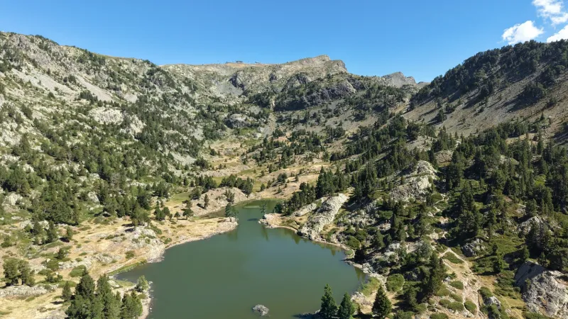
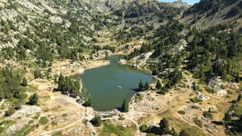
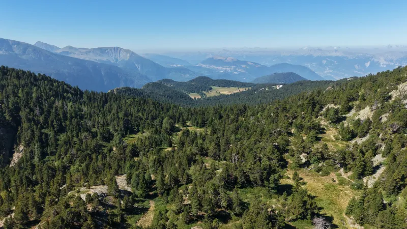
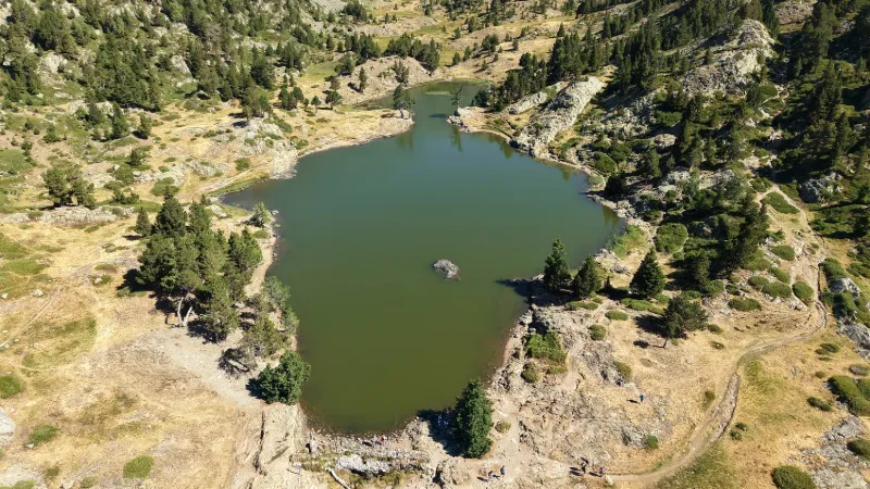
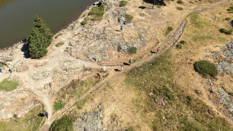
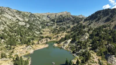
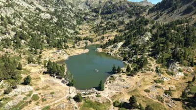
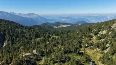
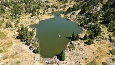
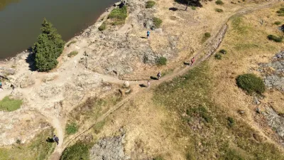
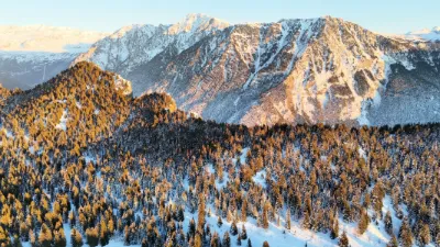
Lac Achard, with the feel of the Canadian Rockies! A pretty mountain lake at 1,917 meters altitude, easy to reach in summer on a hike from Chamrousse 1750 (Roche-Béranger). Lac Achard is part of the Sensitive Natural Area (ENS) "Plateau de l'Arselle et lac Achard". It is also located in a Natura 2000 zone. As a result, fires, wood gathering, camping, picking plants, fishing and swimming (even for dogs) are strictly prohibited (offenders risk a fine). Dogs must be kept on a leash. Bivouacking is allowed from sunset to sunrise (except from May 1 to October 30 during the peak summer season). → For the moment, drone flights are not on the list of prohibitions. Let's hope it stays that way, provided drone pilots keep their flights short. Close to GRENOBLE
Map and restricted areas
Open in the main mapNearby aerodromes
Open aerodromes within 25 km of the spot, heliports included, with their distance and direction from the spot. Near an aerodrome, drone flying is prohibited or height-limited: check the UAS zones map.
| Aerodrome | Type | Distance | Elevation | Difference |
|---|---|---|---|---|
| Altiport du Col De Belledonne | Aerodrome | 8.9 km NE | 2,800 m | spot 883 m lower |
| Aérodrome de Grenoble Le Versoud | Aerodrome | 12 km N | 220 m | spot 1,697 m higher |
| Altiport L'Alpe d'Huez - Henri GIRAUD | Aerodrome | 15 km E | 1,860 m | spot 57 m higher |
| Hôpital Nord Heliport | Heliport | 16 km NW | 218 m | spot 1,699 m higher |
| Quartier-Reynies Heliport | Heliport | 17 km W | 220 m | spot 1,697 m higher |
Aviation weather (METAR and TAF)
No METAR station within 50 km.
Weather and Kp index
Sunrise and sunset
| Day | Dawn | Sunrise | Golden hour | Sunset | Dusk | Day length |
|---|---|---|---|---|---|---|
| Sat 21 Nov | 07:10 | 07:42 | 07:42–08:28 · 16:16–17:02 | 17:02 | 17:34 | 9 h 19 |
| Sun 22 Nov | 07:11 | 07:44 | 07:44–08:30 · 16:15–17:01 | 17:01 | 17:34 | 9 h 17 |
| Mon 23 Nov | 07:12 | 07:45 | 07:45–08:31 · 16:14–17:01 | 17:01 | 17:33 | 9 h 15 |
| Tue 24 Nov | 07:14 | 07:46 | 07:46–08:33 · 16:14–17:00 | 17:00 | 17:32 | 9 h 13 |
| Wed 25 Nov | 07:15 | 07:47 | 07:47–08:34 · 16:13–16:59 | 16:59 | 17:32 | 9 h 11 |
| Thu 26 Nov | 07:16 | 07:49 | 07:49–08:35 · 16:12–16:59 | 16:59 | 17:31 | 9 h 09 |
| Fri 27 Nov | 07:17 | 07:50 | 07:50–08:37 · 16:11–16:58 | 16:58 | 17:31 | 9 h 08 |



Reviews
Log in to review this spot. Log in · Create a free account
No reviews yet. Share yours!