

Étang de Chabaud Latour - Condé Sur l'Escaut
No reviews yet
Have you flown here? Share your experience with other pilots.
+ Write the first reviewDescription
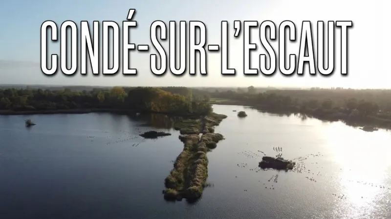
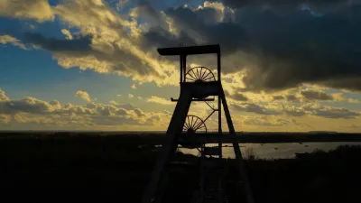
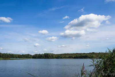
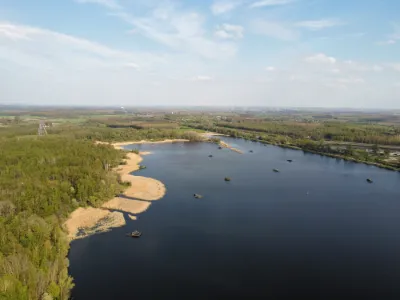
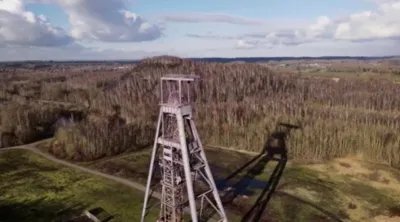
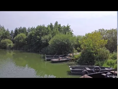
- The Chabaud Latour Pond / Leisure Base covers 450 hectares of natural areas and is the largest protected area in the Nord département (59). - The origin of the pond combines a natural wetland geography with the upheavals of mining. It was born from a gradual ground subsidence caused by mining activity and the intensive extraction of millions of tonnes of coal.
Map and restricted areas
Open in the main mapNearby aerodromes
Open aerodromes within 25 km of the spot, heliports included, with their distance and direction from the spot. Near an aerodrome, drone flying is prohibited or height-limited: check the UAS zones map.
| Aerodrome | Type | Distance | Elevation | Difference |
|---|---|---|---|---|
| Tournai/Maubray Glider Field | Aerodrome | 12 km NW | 49 m | spot 33 m lower |
| Saint-Ghislain Airfield | Aerodrome | 15 km E | 23 m | spot 7 m lower |
| Baudour Heliport | Heliport | 16 km E | 30 m | spot 14 m lower |
| Valenciennes-Denain Airfield | Airport | 18 km SW | 50 m | spot 34 m lower |
| Chièvres Air Base | Airport | 21 km NE | 59 m | spot 43 m lower |
Aviation weather (METAR and TAF)
LFQQ – Lille-Lesquin Airport MVFR
METAR
METAR LFQQ 171330Z AUTO 27021G31KT 6000 -RA FEW014/// SCT025/// BKN034/// ///CB 11/09 Q0986 RERA TEMPO 2500 -TSRA BKN012 BKN016CB
- Wind
- 270°, 39 km/h, gusts 57 km/h
- Visibility
- 6 km
- Weather
- Rain light
- Clouds
- Few (1-2/8) at 1,400 ft (430 m) ; Scattered (3-4/8) at 2,500 ft (760 m) ; Broken (5-7/8) at 3,400 ft (1040 m)
- Temperature
- 11 °C, dew point 9 °C
- QNH
- 986 hPa
- Flight category
- MVFR: ceiling 1,000–3,000 ft or visibility 3–5 mi
TAF
TAF LFQQ 171100Z 1712/1818 25020G30KT 9999 BKN025 TEMPO 1712/1818 25030G40KT 4000 SHRA BKN016 BKN020TCU PROB30 TEMPO 1714/1801 2500 -TSRA BKN012 BKN016CB PROB40 TEMPO 1801/1818 2500 -TSRAGS BKN014CB
| Period (local time) | Change | Wind | Visibility | Weather | Clouds |
|---|---|---|---|---|---|
| 17/11 13:00 → 18/11 19:00 | Initial conditions | 250°, 37 km/h, gusts 56 km/h | 10 km or more | Broken (5-7/8) at 2,500 ft (760 m) | |
| 17/11 13:00 → 18/11 19:00 | Temporarily | 250°, 56 km/h, gusts 74 km/h | 4.0 km | Showers of rain | Broken (5-7/8) at 1,600 ft (490 m) ; Broken (5-7/8) at 2,000 ft (610 m) (towering cumulus) |
| 17/11 15:00 → 18/11 02:00 | Temporarily, probability 30% | 2.5 km | Thunderstorm rain light | Broken (5-7/8) at 1,200 ft (370 m) ; Broken (5-7/8) at 1,600 ft (490 m) (cumulonimbus) | |
| 18/11 02:00 → 18/11 19:00 | Temporarily, probability 40% | 2.5 km | Thunderstorm rain light ; thunderstorm small hail light | Broken (5-7/8) at 1,400 ft (430 m) (cumulonimbus) |
Weather and Kp index
Sunrise and sunset
| Day | Dawn | Sunrise | Golden hour | Sunset | Dusk | Day length |
|---|---|---|---|---|---|---|
| Tue 17 Nov | 07:27 | 08:03 | 08:03–08:56 · 16:05–16:58 | 16:58 | 17:34 | 8 h 54 |
| Wed 18 Nov | 07:29 | 08:05 | 08:05–08:58 · 16:04–16:57 | 16:57 | 17:33 | 8 h 51 |
| Thu 19 Nov | 07:30 | 08:06 | 08:06–08:59 · 16:02–16:55 | 16:55 | 17:32 | 8 h 49 |
| Fri 20 Nov | 07:32 | 08:08 | 08:08–09:01 · 16:01–16:54 | 16:54 | 17:31 | 8 h 46 |
| Sat 21 Nov | 07:33 | 08:10 | 08:10–09:03 · 16:00–16:53 | 16:53 | 17:30 | 8 h 43 |
| Sun 22 Nov | 07:34 | 08:11 | 08:11–09:05 · 15:58–16:52 | 16:52 | 17:29 | 8 h 41 |
| Mon 23 Nov | 07:36 | 08:13 | 08:13–09:07 · 15:57–16:51 | 16:51 | 17:28 | 8 h 38 |

Reviews
Log in to review this spot. Log in · Create a free account
No reviews yet. Share yours!