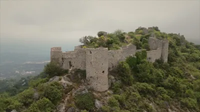
Drone spots: Alpes-Maritimes (06)
333 spots · most viewed first · page 6 of 7
| Photo | Map | Spot | Type | Max height | Access | Views |
|---|---|---|---|---|---|---|
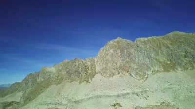
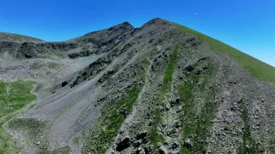
| Col de la Lombarde - Isola 2000 | Mountain | 120 m max | On foot < 1,000 m | 48 | ||
| PEYMIA, a little-known plateau | Mountain | 120 m max | On foot < 1,000 m | 46 | ||
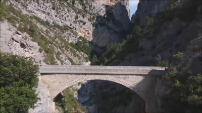
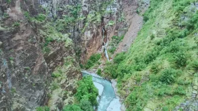
| Gorges de Daluis and du Cians | Mountain | 120 m max | On foot < 1,000 m | 46 | ||
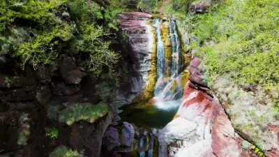
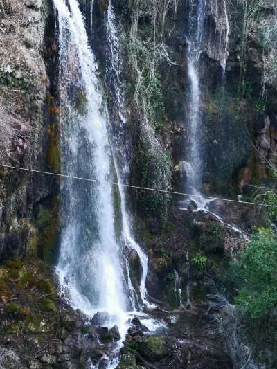
| The cascades of the Saut du Loup | Water | 120 m max | On foot < 1,000 m | 45 | ||
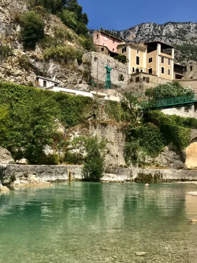
| Roquestéron-Grasse | Water | 50 m max | On foot < 1,000 m | 45 | ||
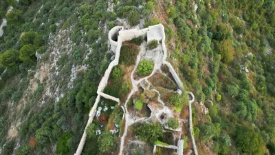
| Ruines de rocca sparviera | Mountain | 120 m max | On foot > 1,000 m | 45 | ||
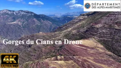
| Cians gorges | Mountain | 120 m max | On foot > 1,000 m | 44 | ||
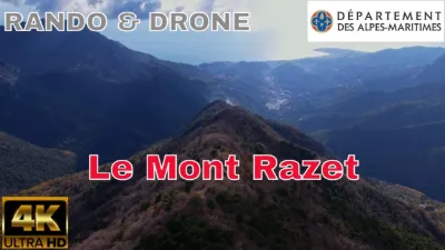
| Mont RAZET | Mountain | 120 m max | On foot > 1,000 m | 44 | ||
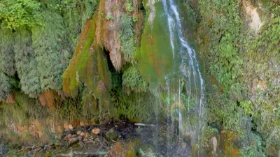
| Cascade du saut du loup | Water | 120 m max | Direct access by car | 41 | ||
| La clue d'Aiglun | Heritage | 50 m max | On foot > 1,000 m | 41 | ||
| Castel Nuovo, Alpes Maritimes | Heritage | 120 m max | On foot < 1,000 m | 40 | ||
| Vers le col de la madone de gorbio | Mountain | 120 m max | Direct access by car | 40 | ||
| Île St Honorat | Water | 50 m max | On foot > 1,000 m | 39 | ||
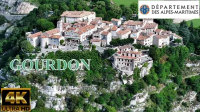
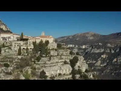
| Gourdon, a perched village in a green setting | Heritage | 30 m max | Direct access by car | 39 | ||
| Cime du cheiron | Mountain | 50 m max | On foot < 1,000 m | 39 | ||
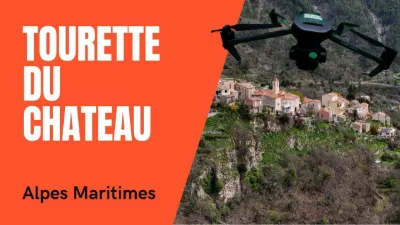
| Drone flyover of Tourette-du-Château, a perched village in the Alpes-Maritimes | Heritage | 120 m max | On foot > 1,000 m | 38 | ||
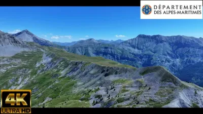
| The alpine pastures of the Alpes-Maritimes, an ode to wild beauty by 4K drone | Mountain | 120 m max | On foot > 1,000 m | 38 | ||
| Very rough (3 crosses) | Mountain | 120 m max | On foot > 1,000 m | 38 | ||
| Plateau de Cavillore | Unusual | 120 m max | On foot > 1,000 m | 38 | ||
| The Plateau de Caussols and the Embut: karst hydrology and fascinating landscape | Water | 30 m max | Direct access by car | 37 | ||
| The Esteron valley around Mont St Martin | Mountain | 50 m max | On foot > 1,000 m | 36 | ||
| Tête de la Mercière - 2491 Meters - Tête de Pélevos - 2455 Meters - Isola 2000 - Alpes-Maritimes - Drone 4K/UHD - Hike May 2022 | Mountain | 120 m max | On foot > 1,000 m | 36 | ||
| The viewpoint of the Madone d'Utelle plateau by drone | Mountain | 120 m max | Direct access by car | 36 | ||
| Roche aux Abeilles (Caire Del Mel) in the Caïre ravine in Roquebillière | Unusual | 120 m max | Access not specified | 35 | ||
| From Coursegoules to the summit of the Vieriou | Mountain | 120 m max | On foot > 1,000 m | 34 | ||
| An aerial stroll over Conségudes | Heritage | 120 m max | On foot < 1,000 m | 34 | ||
| Mountain relaxation | Mountain | 120 m max | On foot > 1,000 m | 34 | ||
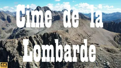
| Cime de la Lombarde - 2800 Meters - Isola 2000 - Alpes-Maritimes - Drone 4K/UHD | Mountain | 120 m max | On foot > 1,000 m | 33 | ||
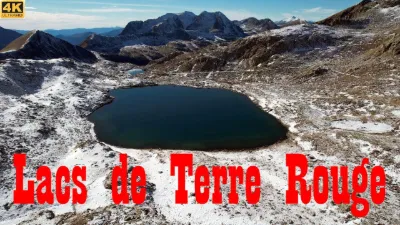
| Lacs de Terre Rouge - 2452 Meters - Isola 2000 - Alpes-Maritimes - Drone 4K/UHD - Hike | Mountain | 120 m max | On foot > 1,000 m | 33 | ||
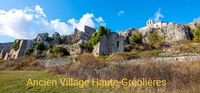
| Haute Gréolières, Alpes-Maritimes | Mountain | 30 m max | On foot < 1,000 m | 33 | ||
| The Tête de Cornet seen by DRONE | Mountain | 50 m max | On foot > 1,000 m | 33 | ||
| Roquebrune cap Martin | Water | 30 m max | On foot < 1,000 m | 31 | ||
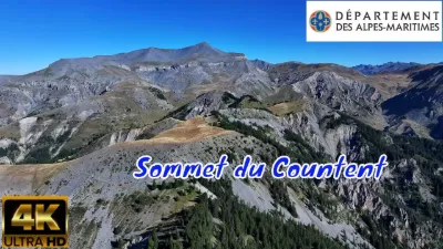
| Countent summit above Beuil | Mountain | 120 m max | On foot > 1,000 m | 31 | ||
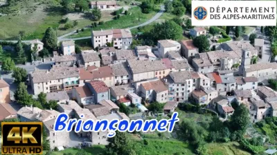
| BRIANÇONNET in the Alpes-Maritimes | Heritage | 120 m max | On foot > 1,000 m | 31 | ||
| Lac des Milefonts | Mountain | 120 m max | On foot < 1,000 m | 31 | ||
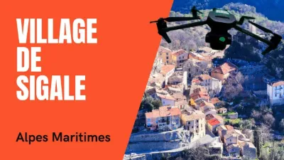
| Flying over the village of Sigale and its surroundings | Heritage | 50 m max | On foot > 1,000 m | 30 | ||
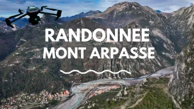
| Mont Arpasse by 4K drone | Mountain | 120 m max | On foot > 1,000 m | 30 | ||
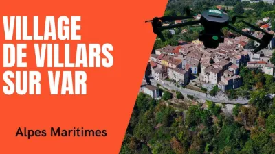
| Villars-sur-Var: a postcard village seen by drone | Heritage | 120 m max | On foot < 1,000 m | 30 | ||
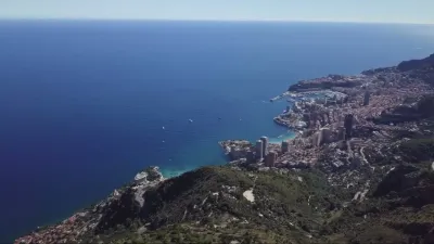
| Mt Gros between Monaco and Menton | Mountain | 120 m max | On foot < 1,000 m | 29 | ||
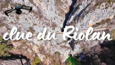
| The Clue du Riolan, an oasis of beauty ️ | Mountain | 120 m max | On foot > 1,000 m | 29 | ||
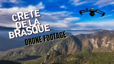
| The Crête de la Brasque by 4K drone | Mountain | 120 m max | On foot > 1,000 m | 29 | ||
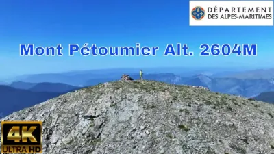
| The magnificent viewpoint from Mont Pétoumier, alt. 2604 m | Mountain | 120 m max | On foot > 1,000 m | 29 | ||
| Saint Dalmas le Selvage | Mountain | 120 m max | On foot < 1,000 m | 29 | ||
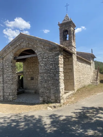
| chapel | Heritage | 120 m max | Direct access by car | 28 | ||
| Daluis | Water | 120 m max | Direct access by car | 28 | ||
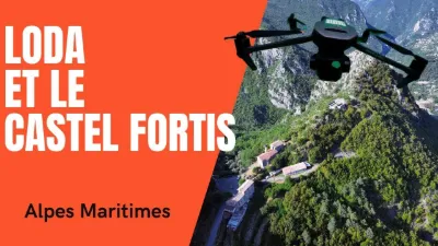
| Loda and the Castel Fortis | Mountain | 120 m max | On foot < 1,000 m | 28 | ||
| Gourdon | Mountain | 30 m max | On foot < 1,000 m | 28 | ||
| Chateauneuf-Villevieille | Heritage | 120 m max | On foot < 1,000 m | 27 |