Drone spots: Haute-Garonne (31)
107 spots · most viewed first · page 3 of 3
| Photo | Map | Spot | Type | Max height | Access | Views |
|---|---|---|---|---|---|---|
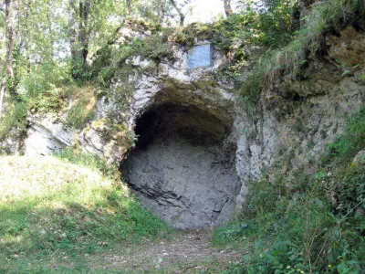
| Prehistoric Cave | Tourist site | 120 m max | 0 | |||
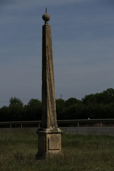
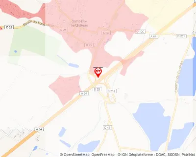
| Pyramid Marking the Boundary between Guyenne and Languedoc | Tourist site | 120 m max | 0 | |||
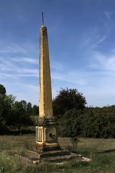
| Pyramid Marking the Boundary of Guyenne and Languedoc, Located at the Edge of the Moroncazal Path | Tourist site | 120 m max | 0 | |||
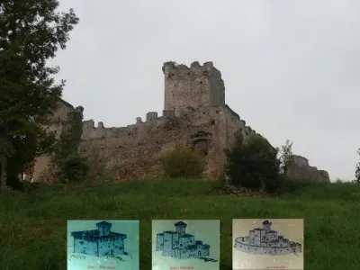
| Remains of the Castle | Tourist site | 120 m max | 0 | |||
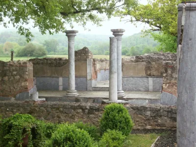
| Ruins of the Gallo-Roman Villa | Tourist site | 120 m max | 0 | |||
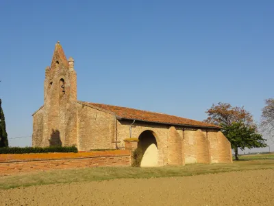
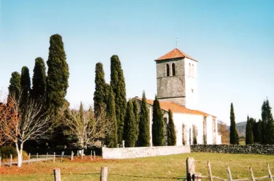
| Saint-Eutrope Church | Tourist site | 120 m max | 0 | |||
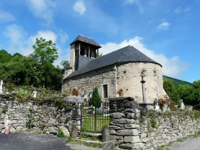
| Saint-Geniès de Benque-Dessous Church | Tourist site | 100 m max | 2 | |||
| Saint-Just Church | Tourist site | 120 m max | 0 | |||
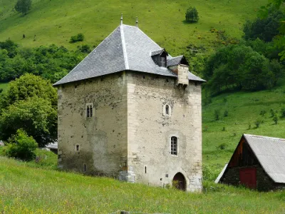
| Tower | Tourist site | 120 m max | 0 | |||
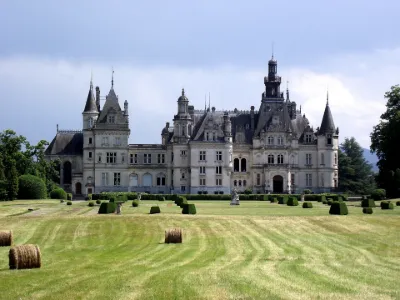
| Valmirande Estate | Tourist site | 120 m max | 5 | |||
| Villefranche Castle | Tourist site | 50 m max | 0 |