Skip to content

Drone spots: Ille-et-Vilaine (35)

220 spots · most viewed first · page 5 of 5

Drone spots: Ille-et-Vilaine (35)
PhotoMapSpotType Max heightAccessViews
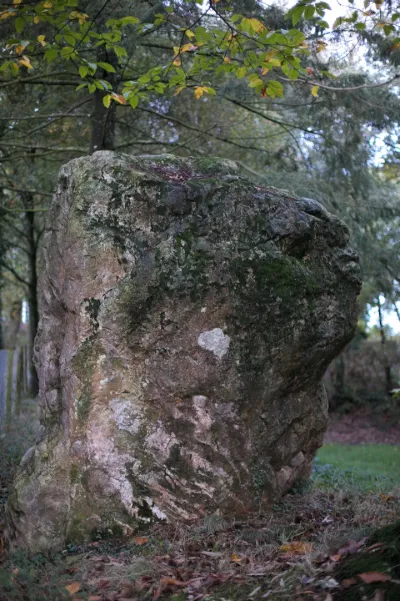
Menhir known as Pierre de RichebourgTourist site 120 m max0
Menhir known as Roche PiquéeTourist site 120 m max0
Molant CastleTourist site 30 m max0
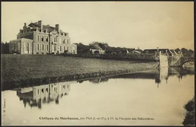
Monbouan CastleTourist site 30 m max0
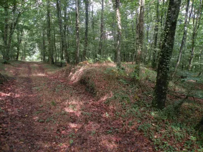
Montbourcher Wood Archaeological SiteTourist site 120 m max1
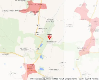
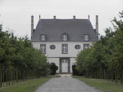
Montmuran CastleTourist site 120 m max0
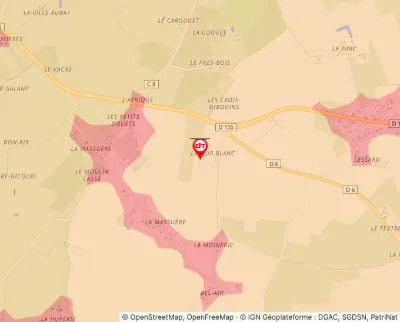
Mur Blanc Manor House, also called La Demaine or Le DomaineTourist site 50 m max0
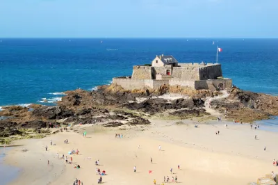
National Fort and its EnclosureTourist site 50 m max0
Notre-Dame-de-la-Rivière Chapel, or Chapel of the MaraisTourist site 120 m max0
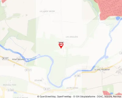
Onglées CastleTourist site 120 m max0
Oppidum Located in the State Forest of FougèresTourist site 120 m max6
Perronnay CastleTourist site 120 m max0
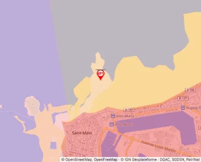
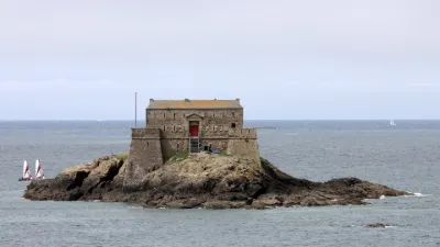
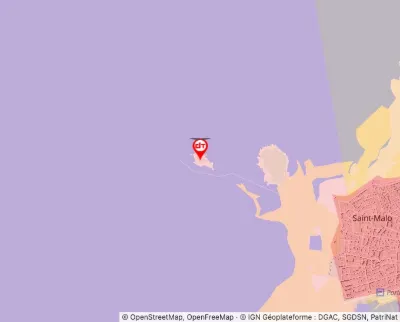
Petit Bé FortTourist site 30 m max0
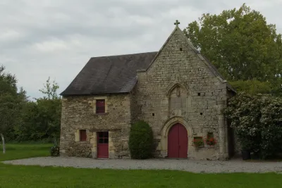
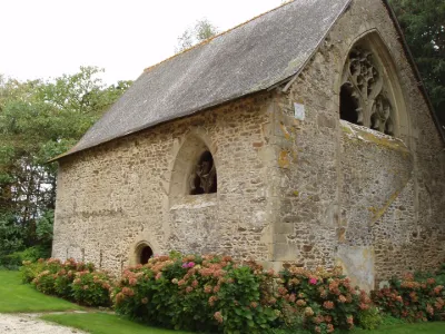
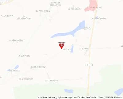
Pinel Chapel and Neighbouring WellTourist site 120 m max0
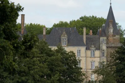
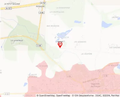
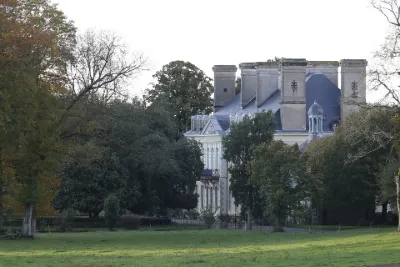
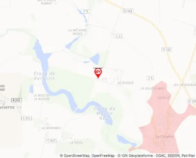
Plessis CastleTourist site 120 m max0
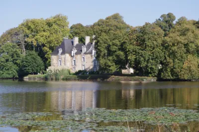
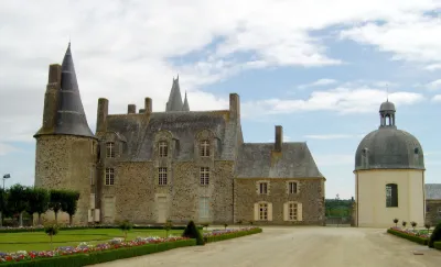
Plessix CastleTourist site 120 m max5
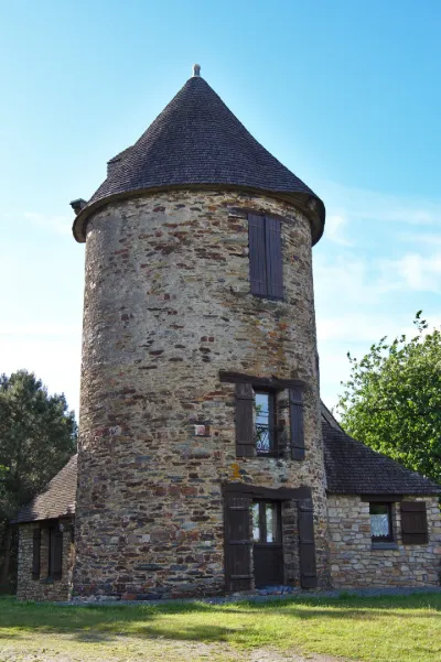
Pommeniac MillTourist site 120 m max0
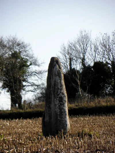
Roche Longue MenhirTourist site 120 m max0
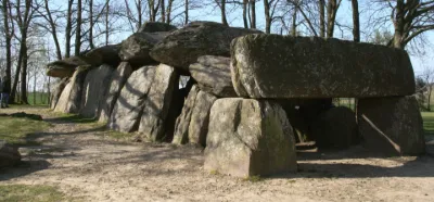
Roche-aux-Fées DolmenTourist site 120 m max0
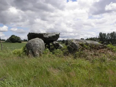
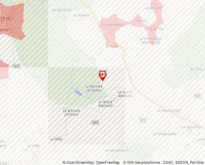
Rocher Jacquiaux or Jacquau DolmenTourist site 120 m max1
Rochers-Sévigné EstateTourist site 120 m max0
Ruins of Plessis-Bertrand CastleTourist site 50 m max0
Tourdelain CastleTourist site 120 m max0
Treasure StoneTourist site 120 m max0
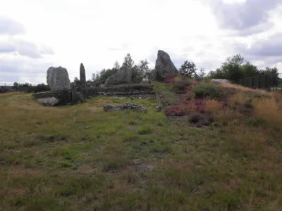
Tumulus Topped with Menhirs, known as Château BûTourist site 120 m max0
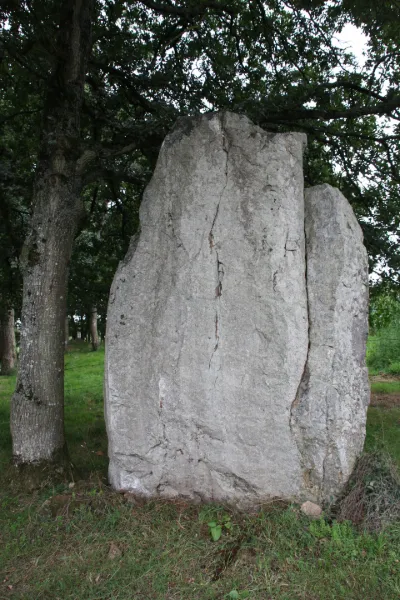
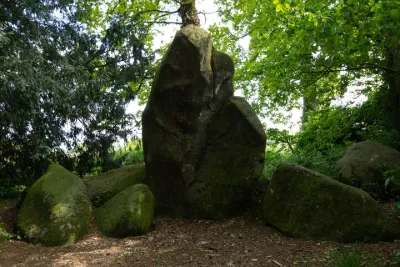
Two MegalithsTourist site 120 m max0
Verger au Coq CastleTourist site 120 m max0
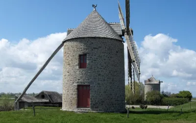
Windmill Number 1Tourist site 120 m max0

Connection to the site lost. Trying again…

The site is not responding. Trying again in seconds.

The site is no longer responding.

The site has been updated. Reloading the page…

This page has expired.

Resuming failed. Please reload the page.

The site is no longer responding.