Drone spots: Hautes-Pyrénées (65)
112 spots · most viewed first · page 3 of 3
| Photo | Map | Spot | Type | Max height | Access | Views |
|---|---|---|---|---|---|---|
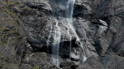
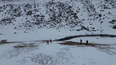
| Drone at Plateau de Saugué + photos of the Cirque de Gavarnie | Mountain | 50 m max | On foot < 1,000 m | 44 | ||
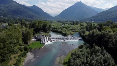
| The Gave de Pau next to Argeles Gazost | Water | 50 m max | On foot < 1,000 m | 44 | ||
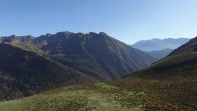
| HAUTACAM | Mountain | 120 m max | On foot < 1,000 m | 44 | ||
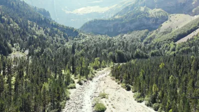
| Gavarnke | Mountain | 120 m max | On foot > 1,000 m | 40 | ||
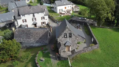
| Chapelle d'Ortiac de Villelongue | Heritage | 50 m max | On foot < 1,000 m | 35 | ||
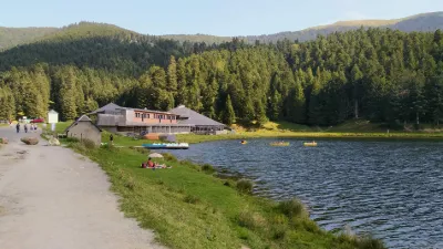
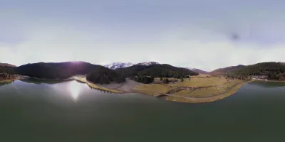
| Lac de Payolle | Water | 120 m max | On foot < 1,000 m | 35 | ||
| Estaing Camping Pyrenées Natura | Mountain | 50 m max | Direct access by car | 34 | ||
| Bareges | Mountain | 50 m max | Direct access by car | 31 | ||
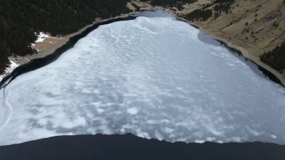
| Lac de l'Oule | Water | 120 m max | On foot < 1,000 m | 29 | ||
| Neste du Badet | Mountain | 30 m max | On foot < 1,000 m | 27 | ||
| Lac de Payolle | Water | 120 m max | Direct access by car | 26 | ||
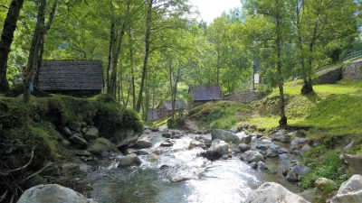
| Les moulins de Gedre | Water | 120 m max | On foot < 1,000 m | 13 | ||
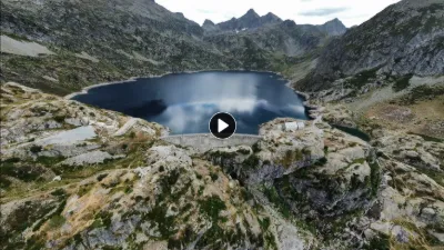
| Gloriettes Dam | Water | 120 m max | On foot < 1,000 m | 4 | ||
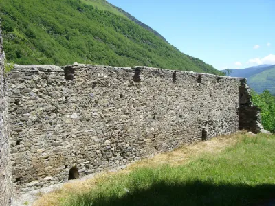
| Castle Ruins | Tourist site | 120 m max | 0 | |||
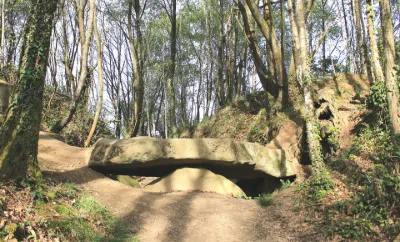
| Dolmen | Tourist site | 30 m max | 0 | |||
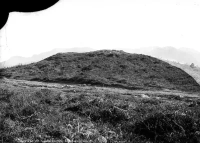
| Halliade Tumulus | Tourist site | 30 m max | 0 |