

Tourist site
Castle Ruins
No reviews yet
Have you flown here? Share your experience with other pilots.
+ Write the first reviewHistory
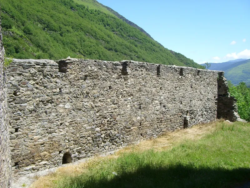
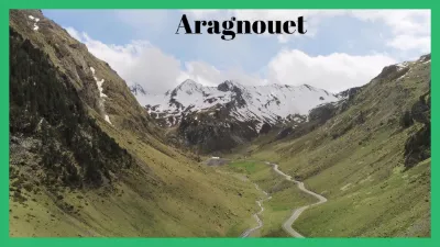
L'origine de ces fortifications n'est pas connue mais le mode de construction pourrait les faire remonter au 11e siècle. L'édifice défendait autrefois la frontière et fermait à l'ennemi les débouchés d'Aragnonet et de Rioumajon. Il subsiste des pans de murs et la tour carrée de l'ancien donjon.
Map and restricted areas
Open in the main mapRestricted zones
Nearby aerodromes
Open aerodromes within 25 km of the spot, heliports included, with their distance and direction from the spot. Near an aerodrome, drone flying is prohibited or height-limited: check the UAS zones map.
| Aerodrome | Type | Distance | Elevation |
|---|---|---|---|
| La Serre D'aulon Altiport | Aerodrome | 4.5 km N | 2,000 m |
| Altisurface des Quatre Veziaux - La Hourquette d'Ancizan | Aerodrome | 11 km N | 1,720 m |
| Altiport de Peyresourde Balestas | Aerodrome | 12 km E | 1,582 m |
| Pene De Soulit Altisurface | Aerodrome | 14 km E | 1,940 m |
| Altisurface de Honteyde | Aerodrome | 18 km E | 1,900 m |
Aviation weather (METAR and TAF)
No METAR station within 50 km.
Weather and Kp index
Sunrise and sunset
| Day | Dawn | Sunrise | Golden hour | Sunset | Dusk | Day length |
|---|---|---|---|---|---|---|
| Tue 17 Nov | 07:23 | 07:53 | 07:53–08:36 · 16:52–17:34 | 17:34 | 18:05 | 9 h 41 |
| Wed 18 Nov | 07:24 | 07:54 | 07:54–08:37 · 16:51–17:34 | 17:34 | 18:04 | 9 h 39 |
| Thu 19 Nov | 07:25 | 07:56 | 07:56–08:39 · 16:50–17:33 | 17:33 | 18:03 | 9 h 37 |
| Fri 20 Nov | 07:26 | 07:57 | 07:57–08:40 · 16:49–17:32 | 17:32 | 18:03 | 9 h 35 |
| Sat 21 Nov | 07:27 | 07:58 | 07:58–08:42 · 16:48–17:31 | 17:31 | 18:02 | 9 h 33 |
| Sun 22 Nov | 07:28 | 07:59 | 07:59–08:43 · 16:47–17:31 | 17:31 | 18:01 | 9 h 31 |
| Mon 23 Nov | 07:30 | 08:01 | 08:01–08:44 · 16:46–17:30 | 17:30 | 18:01 | 9 h 29 |
Reviews (0)
Log in to review this spot. Log in · Create a free account
No reviews yet. Share yours!